![]()
![]()
![]()
![]()

In this page, you will find informations and advices we can give, based on our experience
Grand Staircase Escalante National Monument - Utah
"Skutumpah Road and Johnson Canyon Road area"
What to do if you have little time : Willis Creek
Grand Staircase Escalante National Monument, with an area of about 1,87 millions acres is full of sights to visit. As a result, you can easily spend 2 to 3 days or more there (you'll find plenty to keep you busy even if you stay a week).
Many of these sites are on the Hole in the Rock Road, a 62 miles long trail that can quickly become impassable after heavy rains. In dry weather, it is passable for any taller car except for the last 5 miles, which require a 4WD. However, if you want to venture on the secondary tracks, they are often sandy and a 4WD is imperative. Ask about road conditions at the BLM in Escalante.
The other popular trail is Cottonwood Canyon Road with its iconic sites such as Yellow Rock and Grosvenor Arch. Again, the trail becomes impassable during heavy rains. The very sticky clay can keep you trapped. Ask about the weather conditions before you go.
Perhaps less well known are the Skutumpah Road and Johnson Canyon Road areas, which also have their own attractions, such as Willis Creek and Johnson Canyon, respectively. Finally, around Escalante are a few sights including Lower Calf Creek Fall, the Burr Trail which allows you to leave the National Monument to the east, passing through fabulous scenery, and finally the magnificent Highway 12.
Advices :
- It is often very hot, between 95°F and 104°F in summer, and very dry. Because of the often difficult weather conditions, it is necessary to bring plenty of water.
- It is imperative to check the condition of the trails, no matter which one, before going on them: they can all be treacherous. Even if the weather is good but the forecast indicates that it will rain, you should not use them. If you get stuck, it can take a long time to fix the problem and it can be very expensive!
- Don't miss the pizzas at Outfitters Campground Restaurant in Escalante. They are delicious and huge. Special mention for the Kings Mesa!
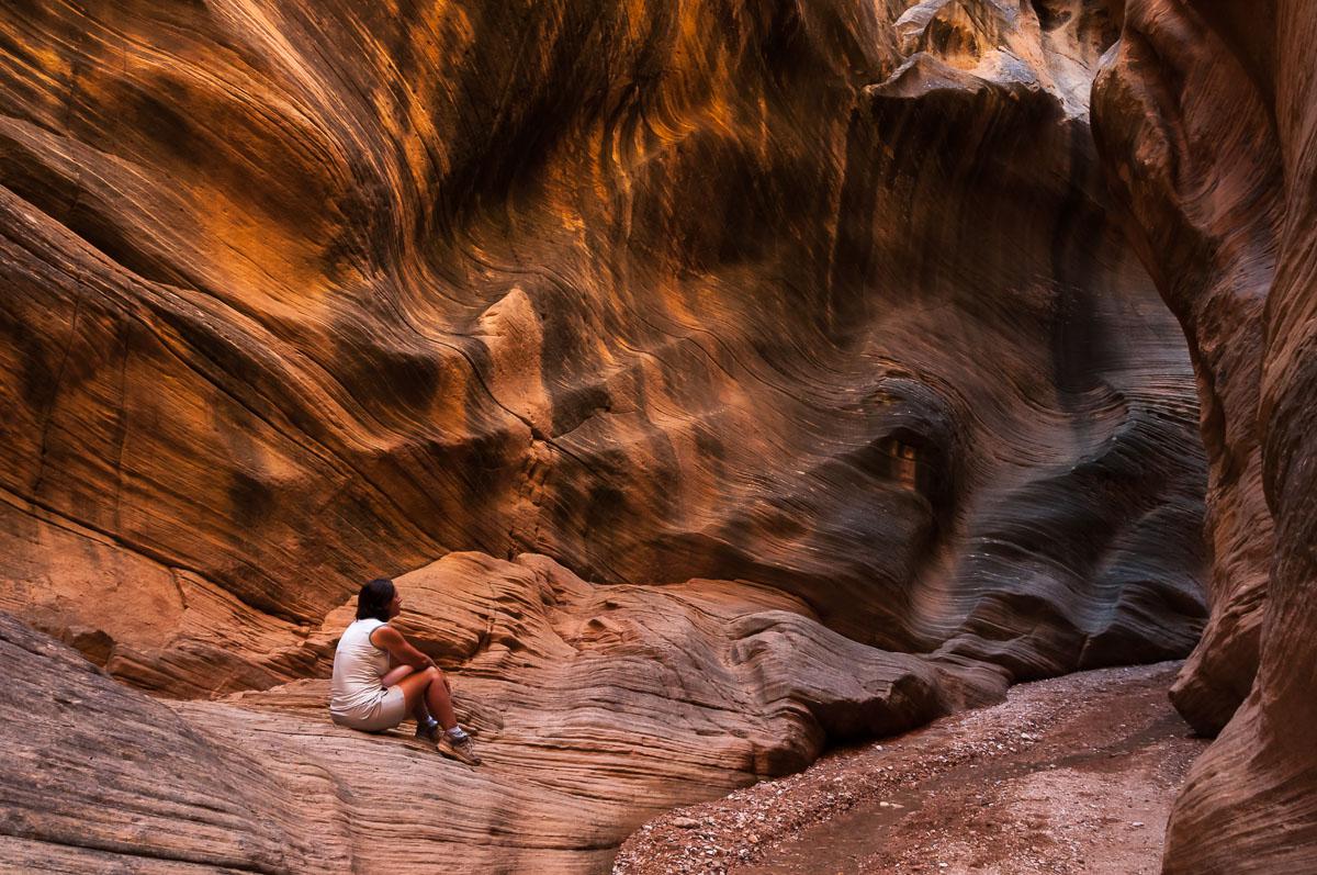
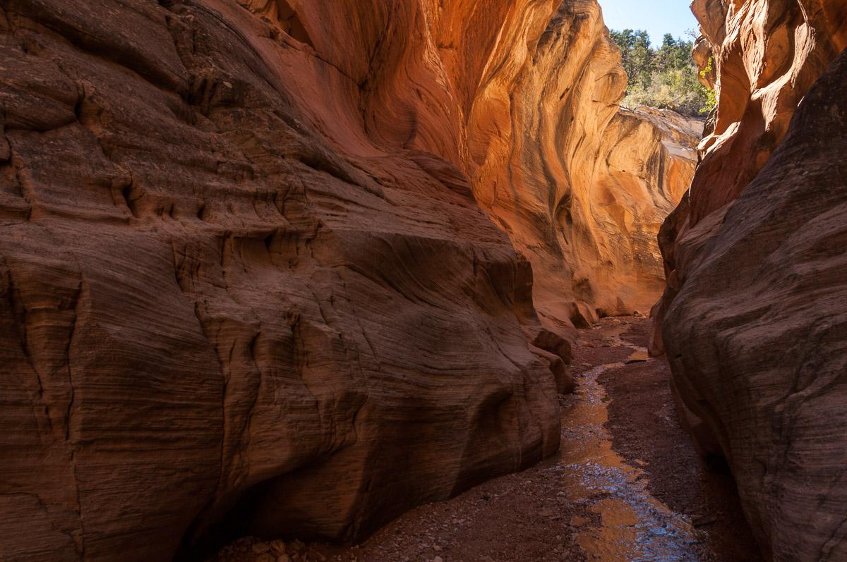
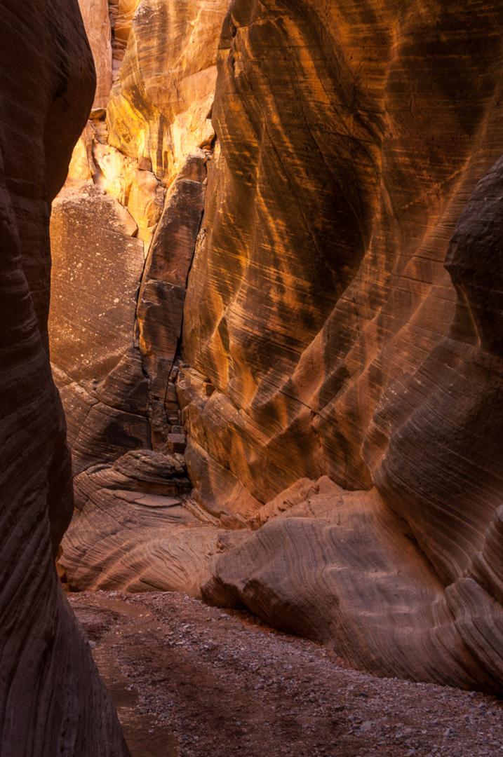
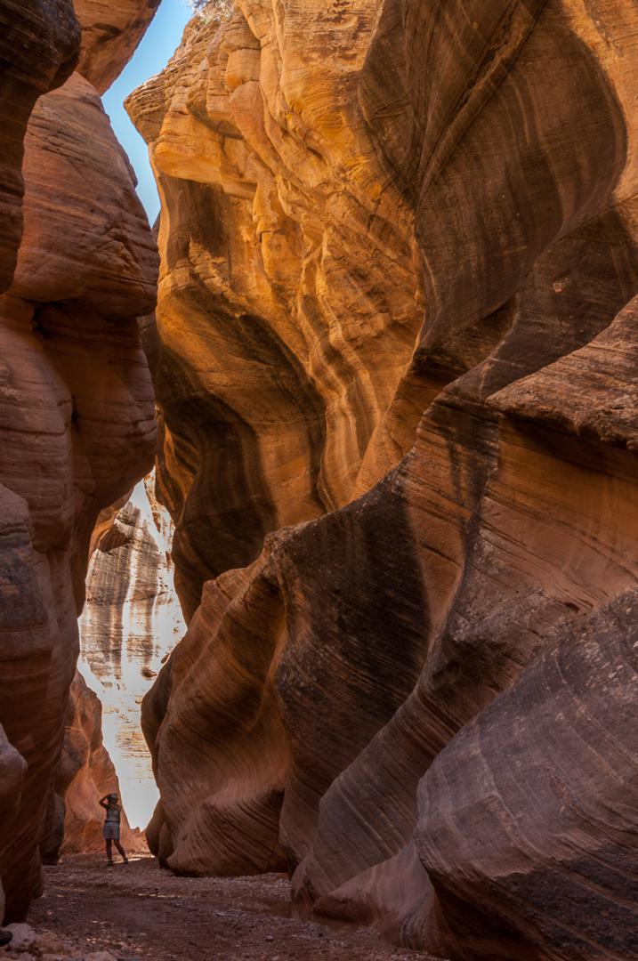
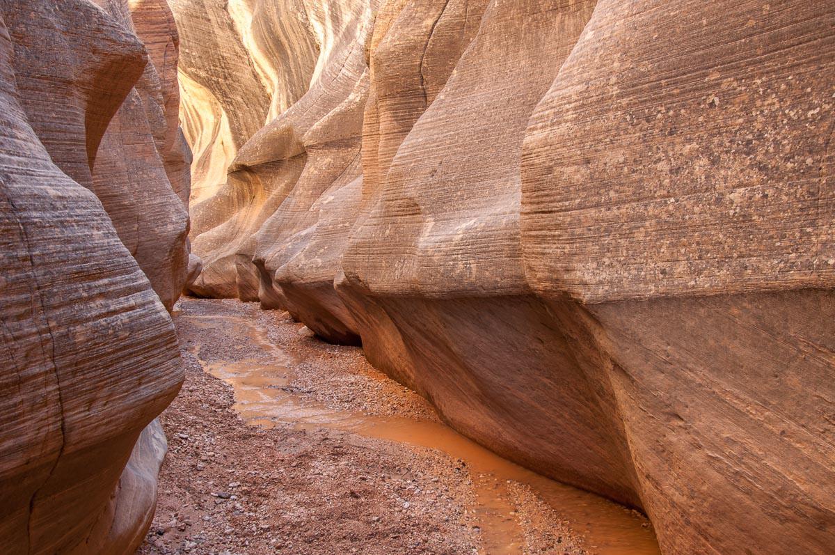
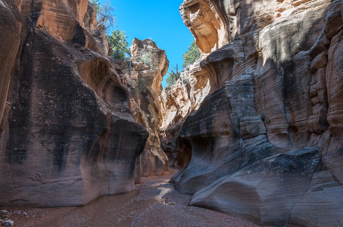
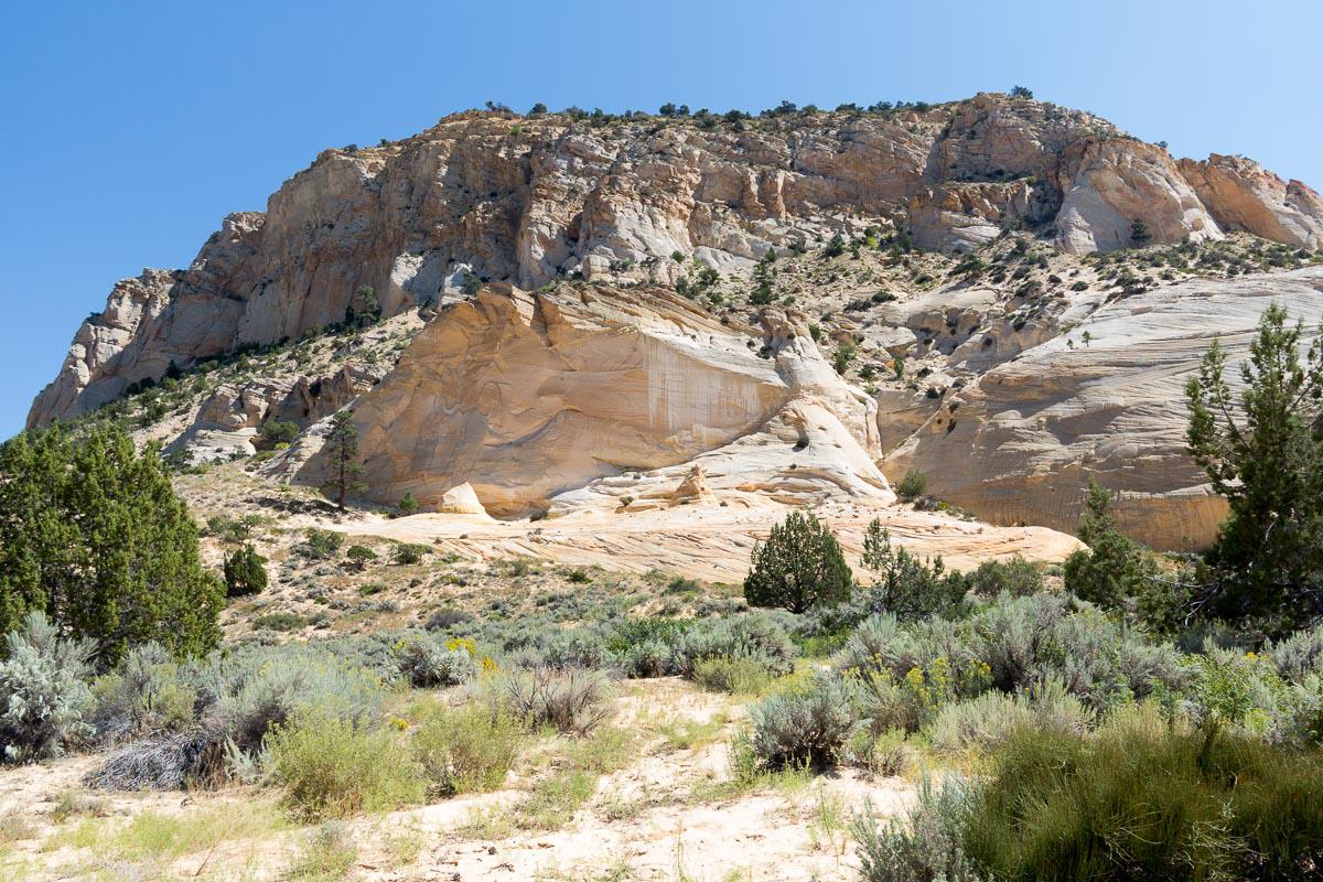
Willis Creek
![]()
 2,4 miles one way
![]() Half a day
Half a day
![]()
Free

GPS tracks to download
![]()
GPS trail to download
Nice easy hike in a canyon that sometimes narrows, with nice colors. Willis Creek is not very crowdy.
Access : from Cannonville, drive South on Main street (Kodachrome Road) for 2,8 miles. Take the track on your right (Skutumpah Road BLM500). This road is unpaved. It's merely a trac, but this one is good and accessible to every cars, provided it's dry. Follow this track for 6 miles to the parking on the right. The trailhead is on the opposite side of the road.

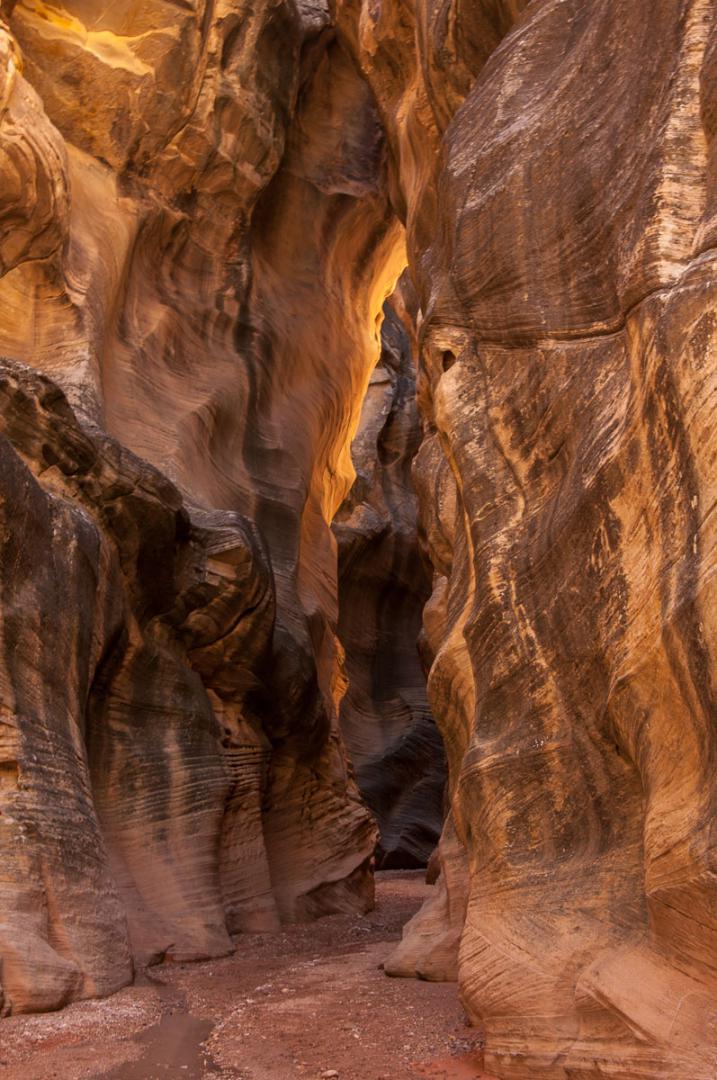


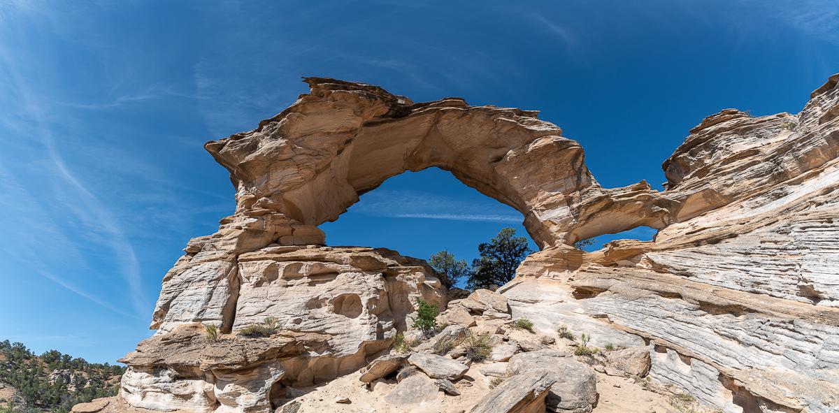
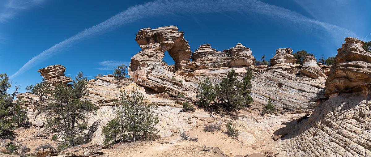
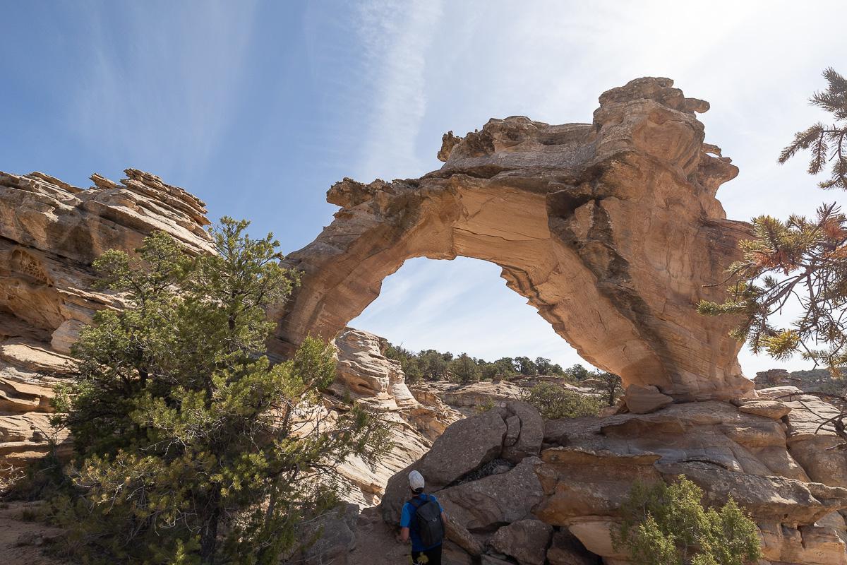
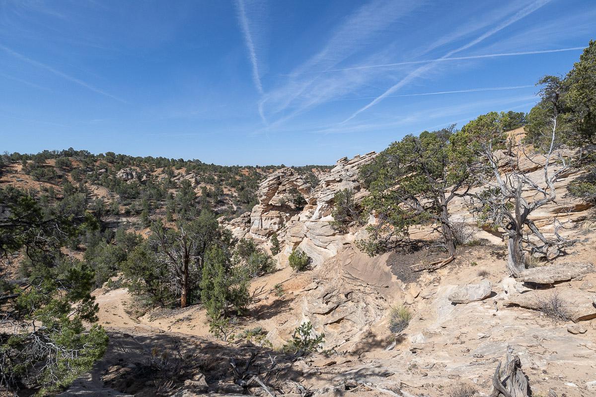
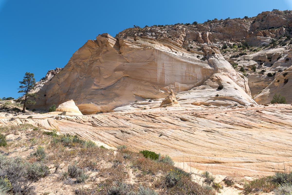
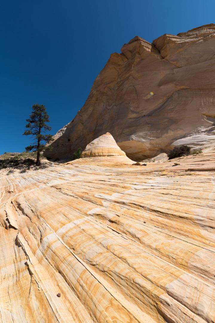
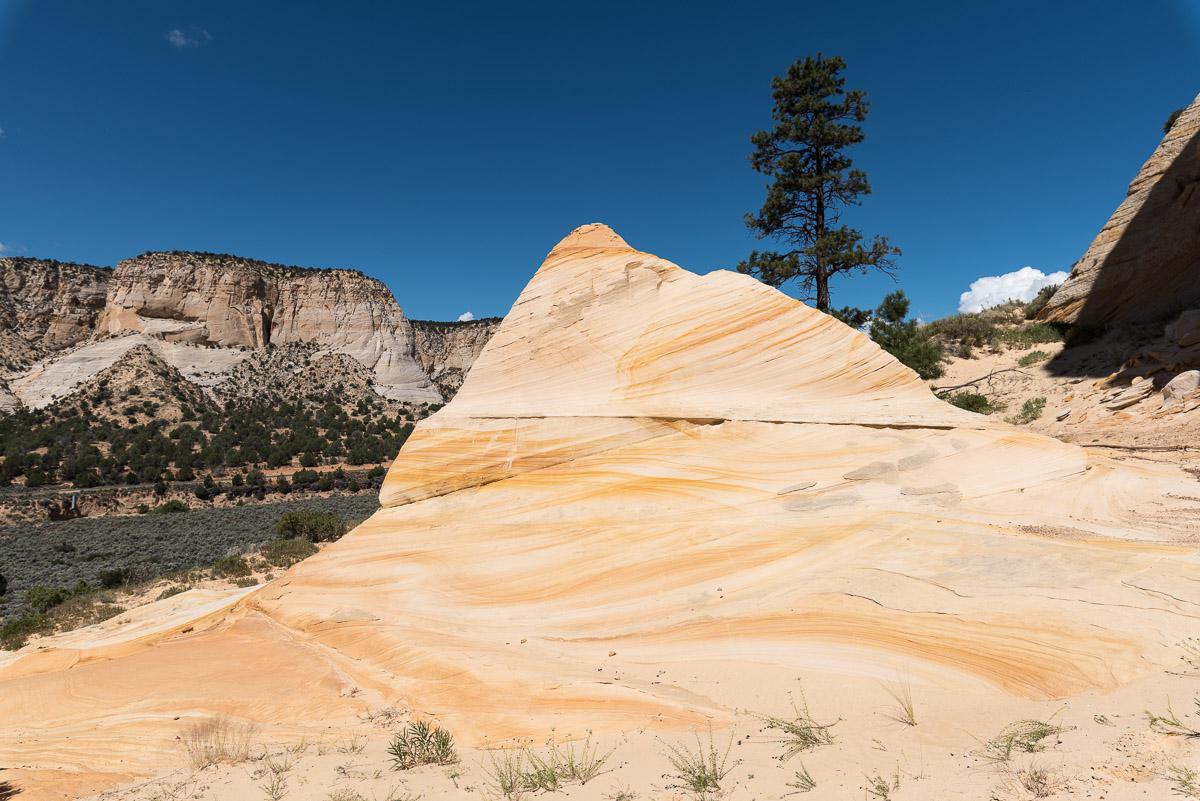
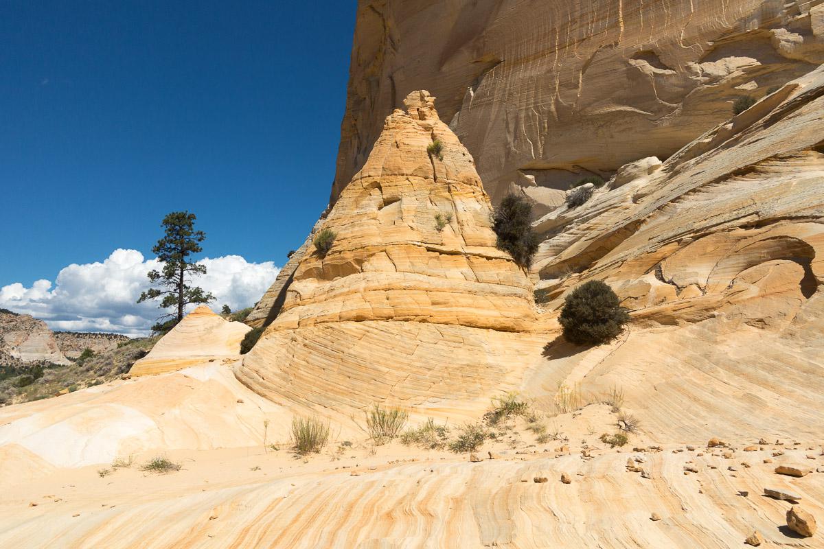
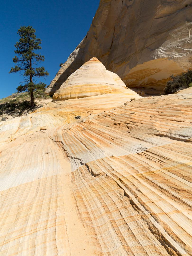
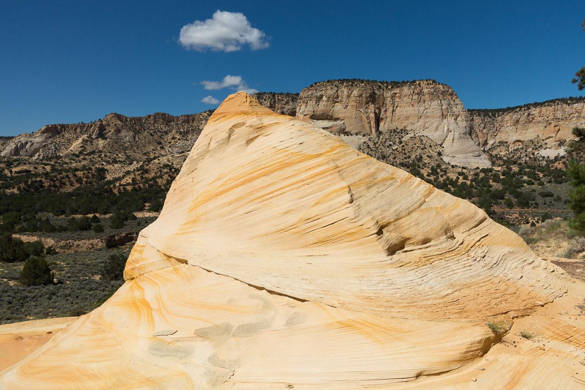
Inchworm Arch
![]()
0,25 mile one way - 15 minutes
![]() 45 minutes
45 minutes
![]()
Free
GPS tracks to download
From the parking lot, the arch is less than a quarter mile downhill.
Access : from Kanab, take US89 east to Johnson Canyon Road. Follow it north for 9,5 miles. Then take a trail to the right, Nephi Pasture Road, for 8 miles. From there, it is better to have a 4WD because it becomes sandy. Take a new track on the right for 1 mile. Turn left at the hairpin. From there, it is better to have a 4WD with a high ground clearance. Continue for 1,6 miles to the parking lot. A few signs sometimes indicate the direction of the arch.


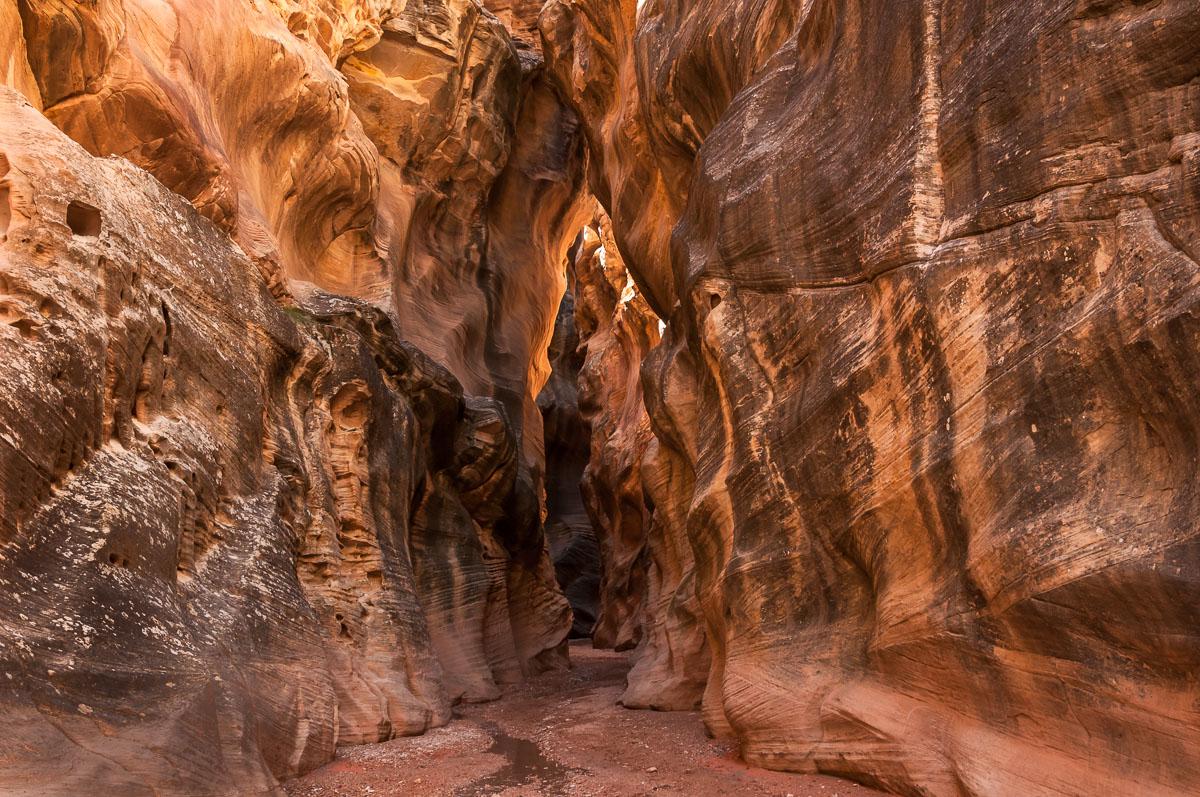
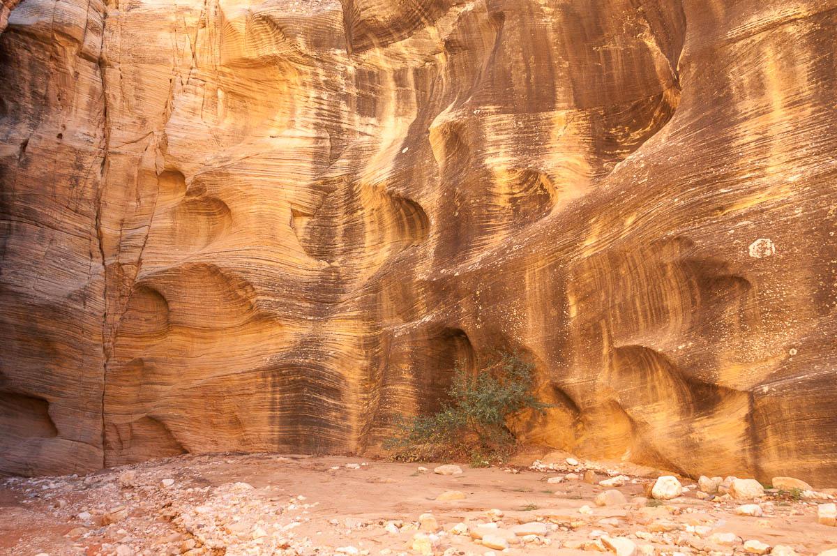
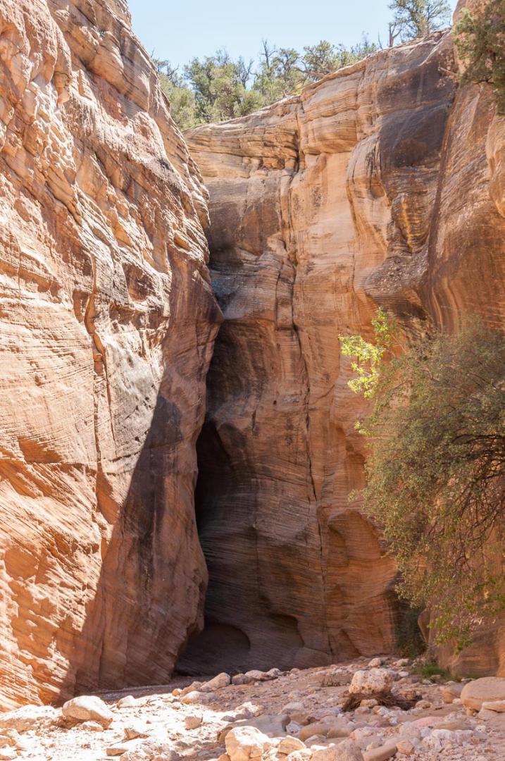
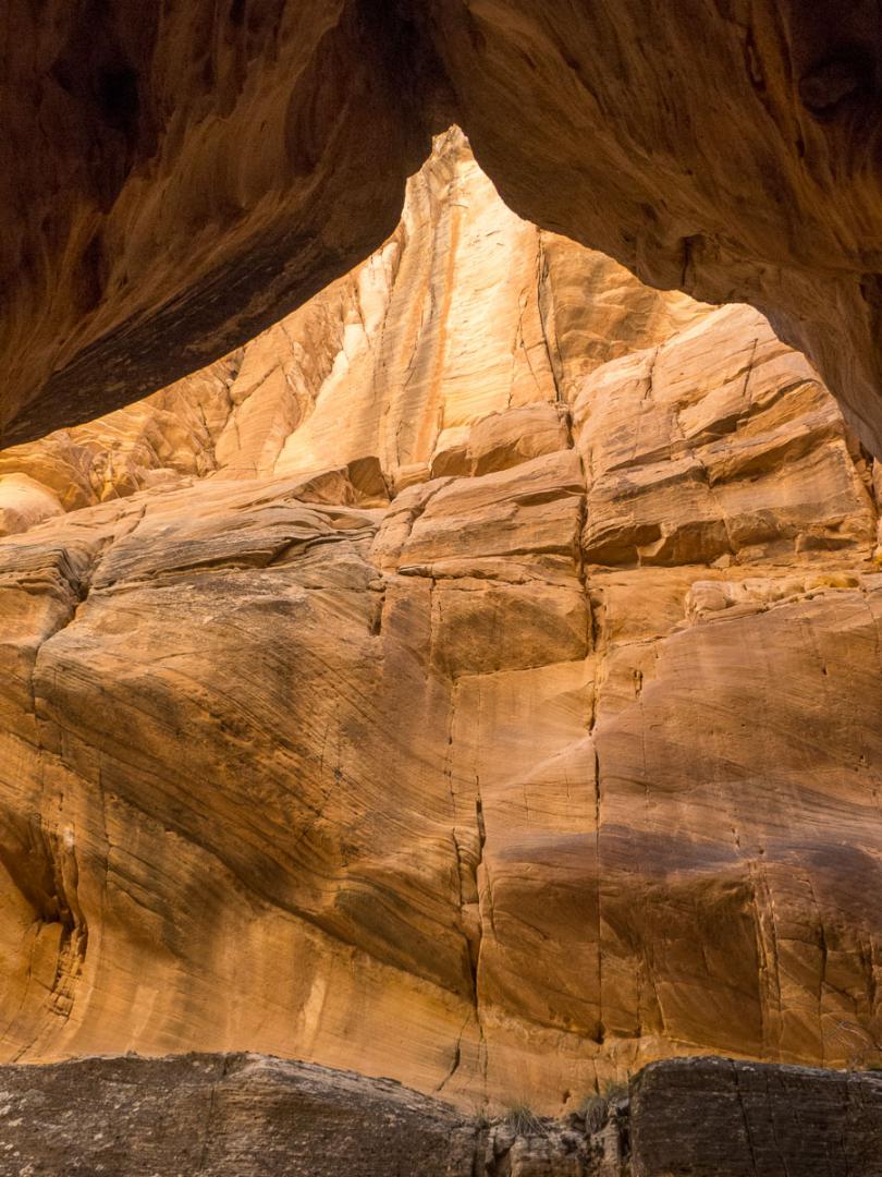
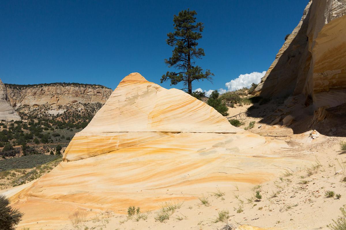
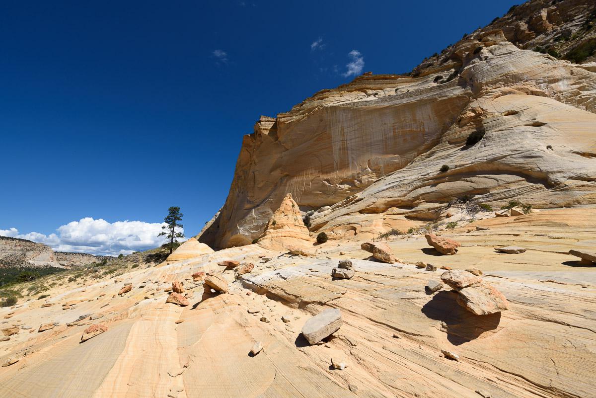
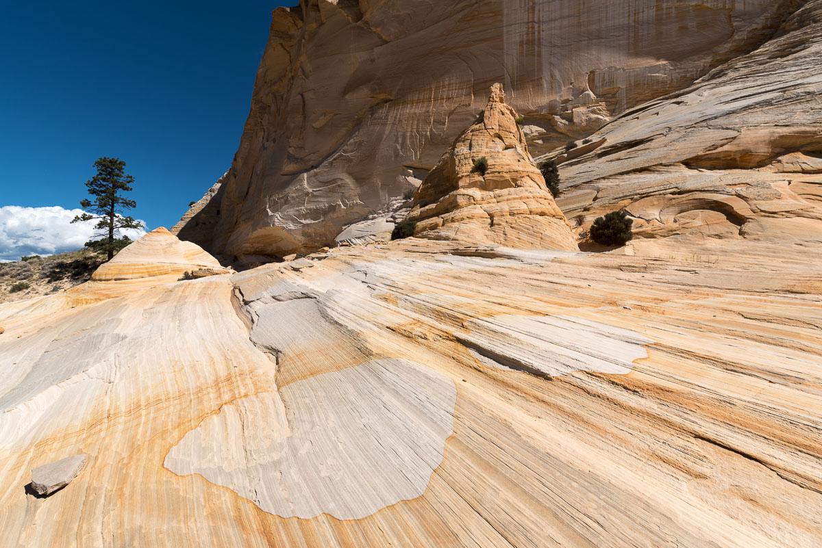
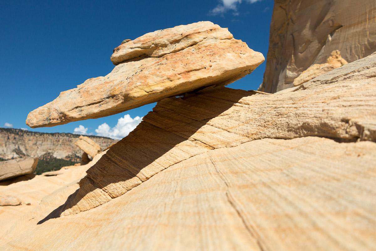
Johnson Canyon
![]()
0,5 mile one way - 20 minutes
![]() 1 hour
1 hour
![]()
Free
![]()
GPS trail to download
Johnson Canyon is already visible from the road. The hike is not really complicated, it's mostly a question of orientation. First you have to find the right starting point and then you have to find the right place to get down to the wash. After crossing it, you have to go back on the other side and there, it climbs a lot in sand but on a short distance. The area to explore is not very large.
Access : from Kanab, follow the US89 south for 9.2 miles, then turn left on Johnson Canyon road for 12.9 miles, to GPS point N37 ° 12 '50.8 "W112 ° 22' 29.0". Park on the side of the road. Johnson Canyon is at the east.


Lodging
We have tested :
Copyright Magali and David BELLEC