
USA
June 2 to 28, 2012
Saturday june 2 : once again, we are going to spend our holidays in the American West. We will fly aboard the A380. The departure did not go normally : 45 minutes delay to take off at Roissy, very long wait for immigration to Los Angeles, run to join the departure zone for which we must go outside, and finally we are in the plane to Phoenix. And to close the day, David's travel bag is missing. It begins well ! In fact, the bag took the next flight. We get the car : a Dodge Durango,
.jpg?v=1d69889)
and we go to our hotel, the Super 8 on Van Buren.
Sunday june 3 : just arrived at the reception to have breakfast, the hostess tells us that our missing bag has arrived. Phew, big relief! We leave for Sedona. On the road, we stop to do the "big" shopping: cooler, food, drinks ... It is already 93° ! We move to the Cave Springs Campground north of Sedona ($ 18 / tent).
.jpg?v=1d69889)
Around 4pm, we go to the Visitor Center in Sedona to buy the Pass for the Parks. But it's closed. We take the opportunity to go around the city and shops. We dine early (6:30 pm) because the night falls quickly (7:45 pm)! In the campsite, there is no sink so we brush our teeth to the cowboy! with a cup of water and we spit in the grass! There are just Indian toilets and $ 4 showers. We also have to do the dishes on the site.
Monday june 4 : the end of the night was cold. We return to the Visitors Center to purchase the "America the beautiful" Pass at $ 80. We will then hike to Crescent Moon / Cathedral Rock. Access to the parking is via 85A South then Upper Red Rock Loop Road. Parking is $ 9. We do 5,3 miles in 4 hours including pictures breaks and picnics.
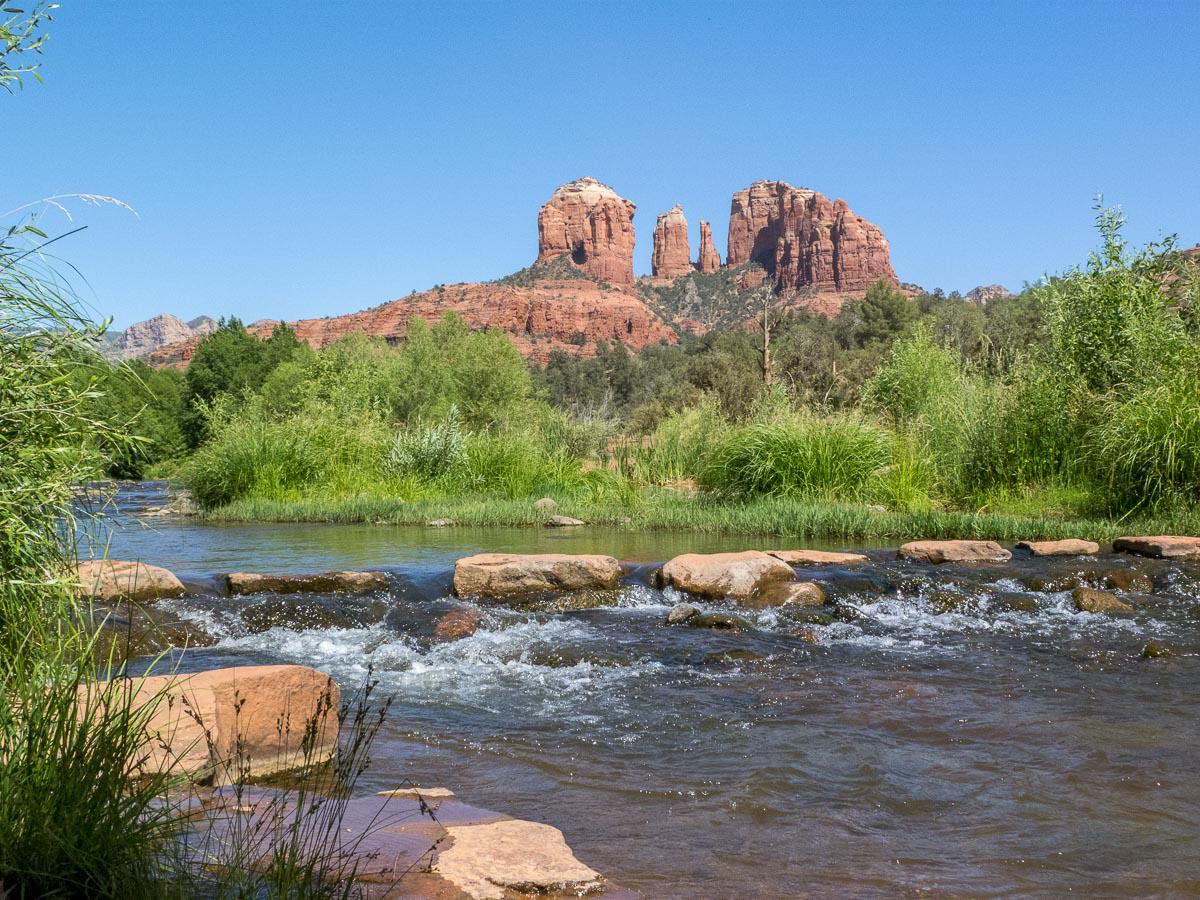
The ascent to Cathedral Rock is quite steep : 650 feet denivelation on 200 m de dénivelé sur 2600 feet of walk.
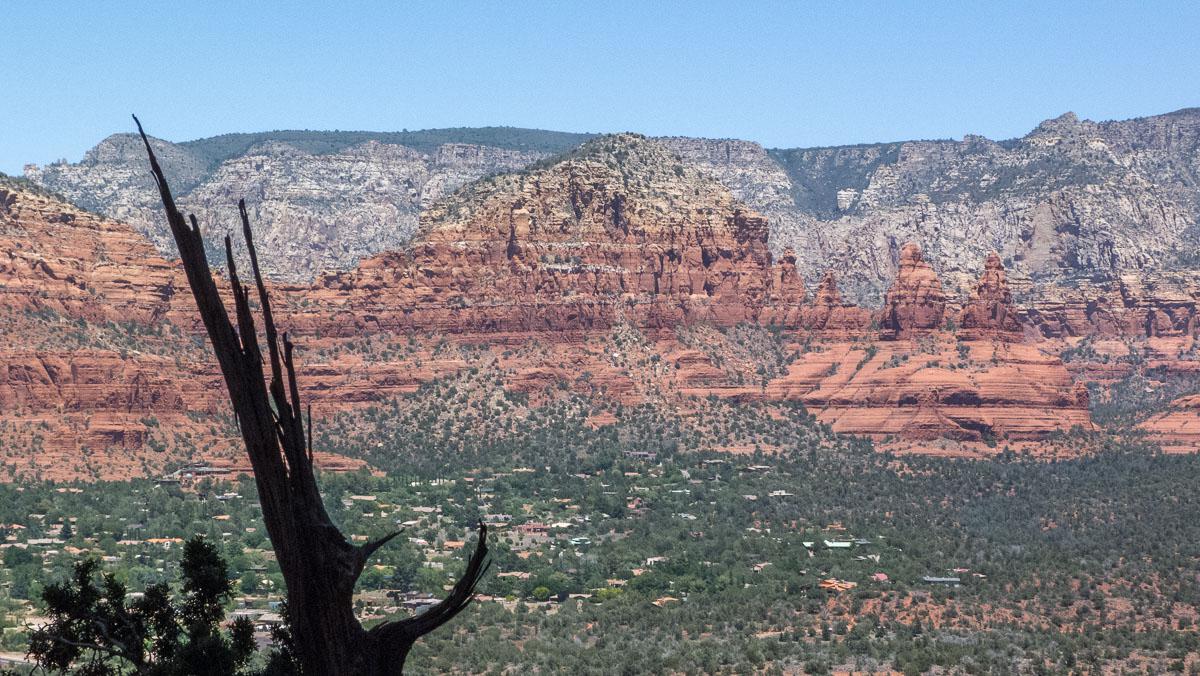
We take a snack between the two big cliffs: the view is nice. The afternoon is not over, we will take a walk to Chimney Rock which is 1 mile (85A South then Dry Creek Road). In fact, the trail goes around the rock; it is not of great interest.
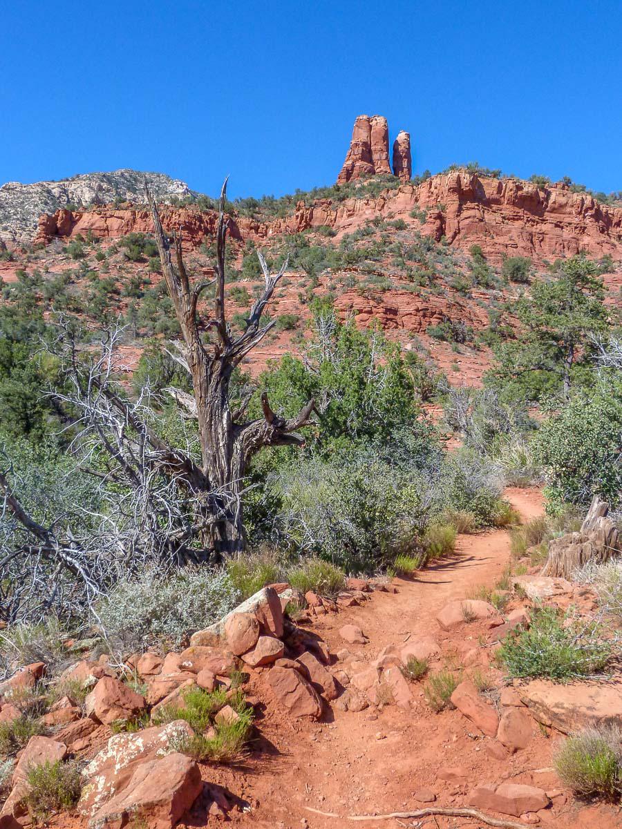
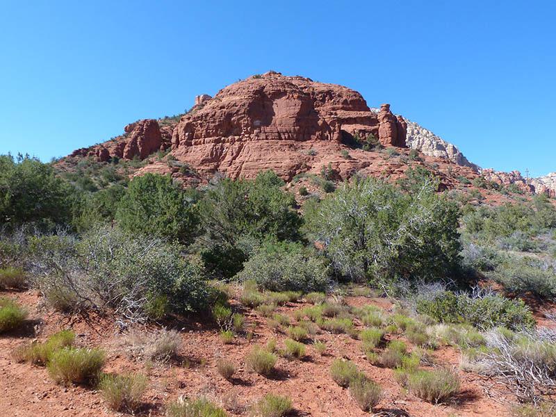 Furthermore, it's very hot 99° and there is no shade.
Tuesday june 5 : today, we will be hiking at West Fork Oak Creek Trail ($ 9 parking, access on 89A near the campsite). The walk, 6,2 miles roundtrip, easy, is very nice through a pine forest along the river and vertiginous cliffs.
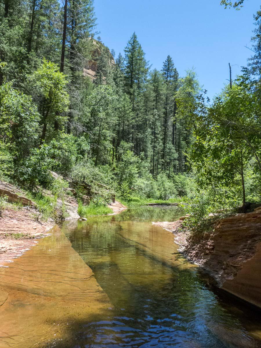
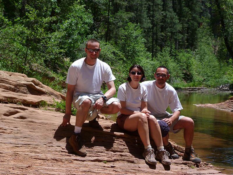 It is very refreshing with a nice wind breeze. In the middle of the afternoon, we go to Slide Rock State Park, still on the 89A ($ 20 parking). It is very touristy so there are plenty of people. We move away a bit and find a quieter corner for a dip ...
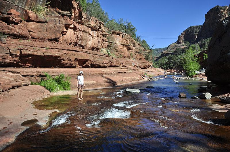
but just feet because the water is icy! We leave at 5:10 pm to the campsite.
Wednesday june 6 : it's cool this mornig when we wake up, 48°. We leave for Page, stopping at Oak Creek Vista : a viewpoint on the woody valley of Sedona.
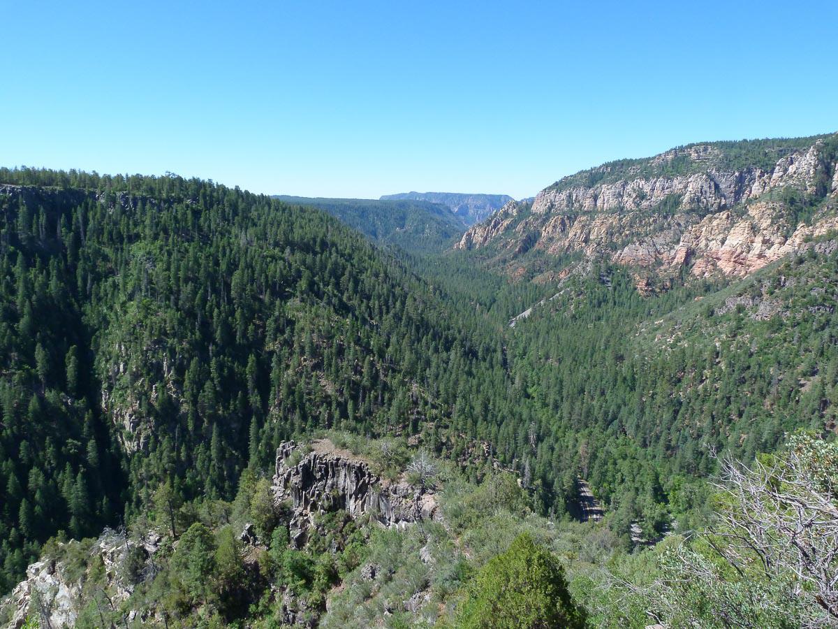
We arrive at the Wahweap Campground in Page around 2 pm. It's C24$ the site and 2$ for a shower. We pitch the tents on a spot in full sun! In the middle of the afternoon, we go to Toadstool Hoodoos. From Page, take the US89 towards Kanab, the parking, visible from the road, is after the junction with Cottonwood Road. Easy access on foot, between 10-15 minutes from the car park. The site is not very big, there are not many hoodoos.
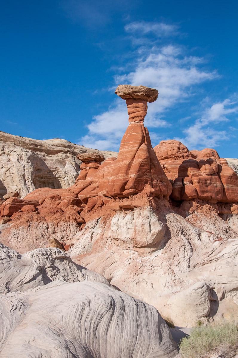
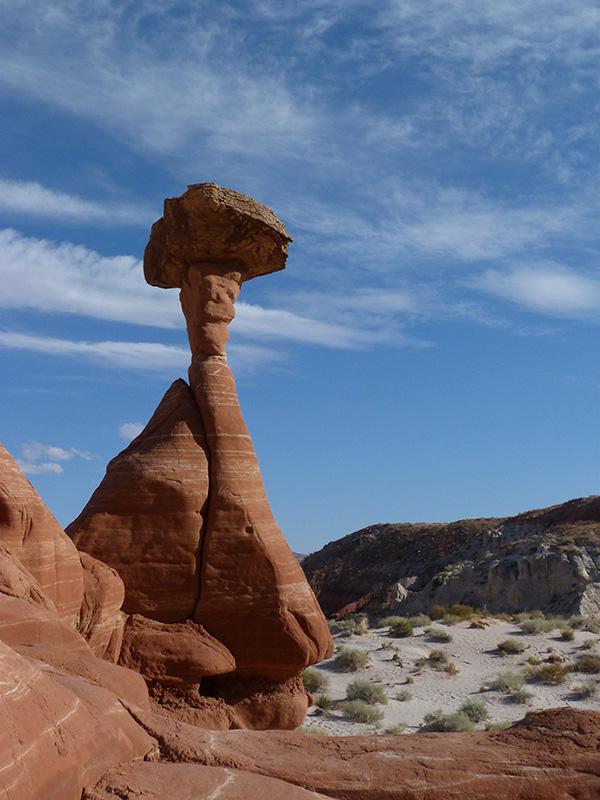
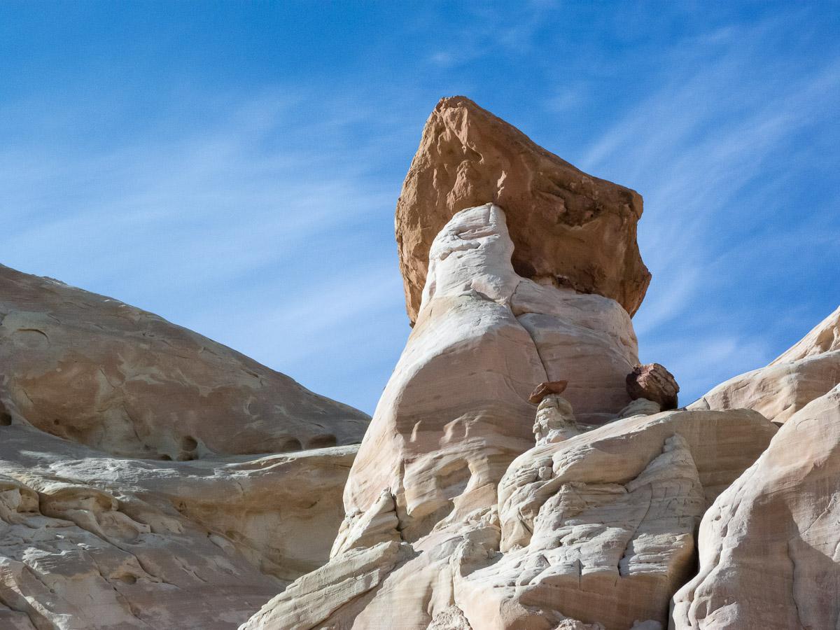
We are all alone! Then we go to White Rocks. Despite the indications found on the net, we do not find the site. We are "blocked" at the bottom of a hill that we cross on foot and a second behind and we arrive at the bottom of white rocks but there is no hoodoos. During this short walk, we follow a fence. Maybe the hoodoos are on the other side but no way to pass. We go back to Page and have dinner at Denny's.
Thursday june 7 : we continue our journey by taking the Cottonwood Road. The road is good with a 4WD. We make a stop at Grosvenor Arch. Short walk to get there and the arch is very pretty.
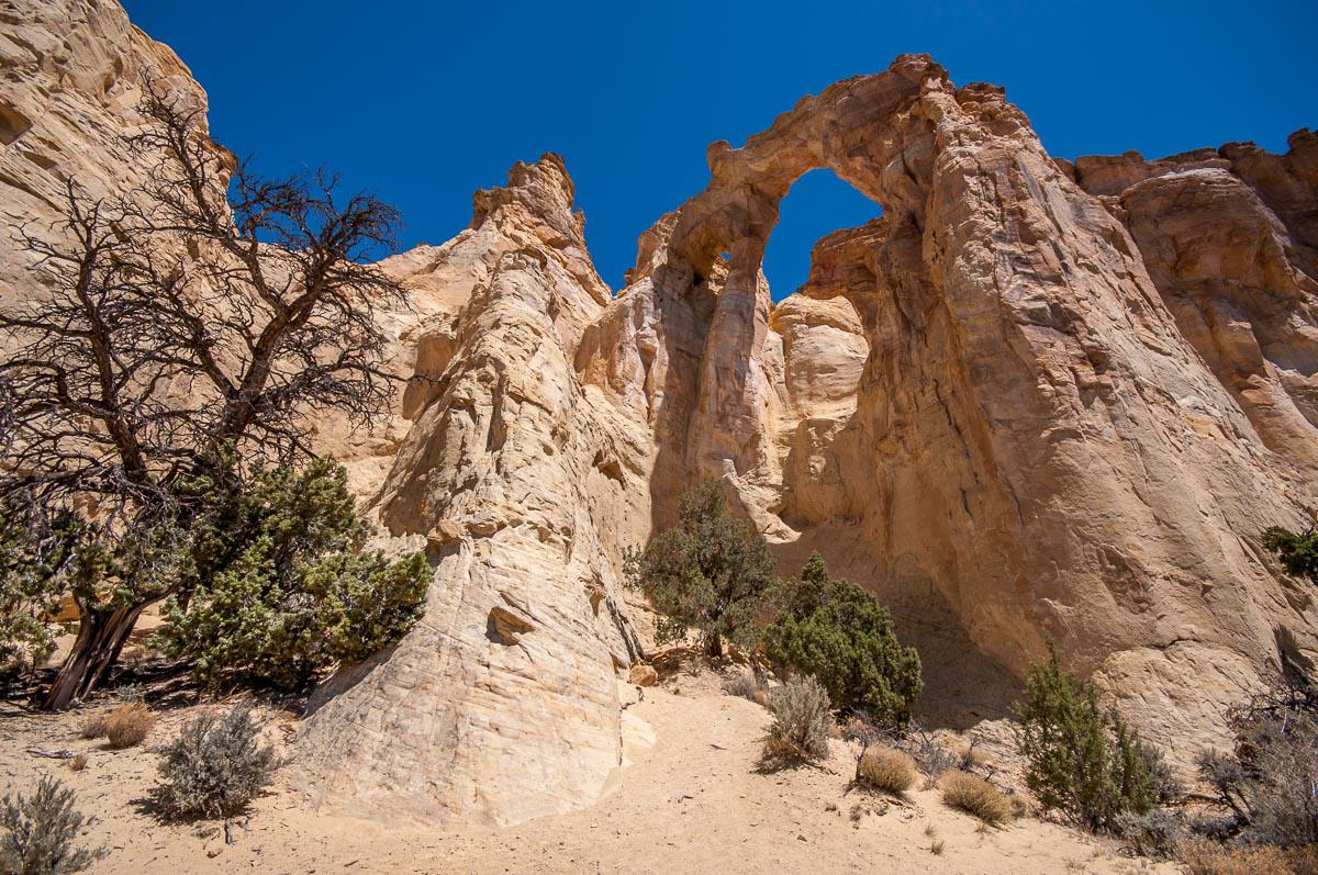
After some photos, we head to the Kodachrome State Park campground. The campsite and park entrance are $ 16 per vehicle ($ 6 for a day visit). The campsite is very nice, green at the foot of the red rocks. Concrete tables are installed on each site. The toilets are clean and the showers free. And it's very calm. We will take a tour to Chimney Rock. It's ... just a very high rock!
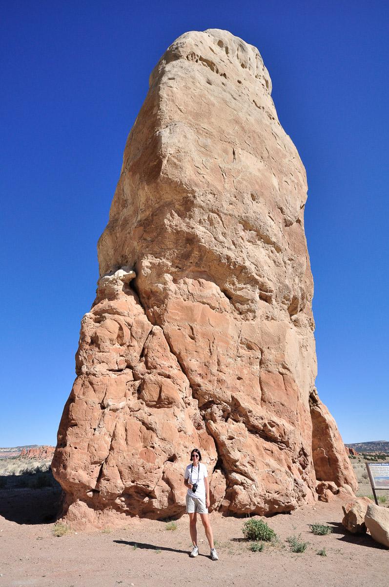
Then in the late afternoon, we start the Panorama Trail which is 6,2 miles roundtrip to Panorama Point.
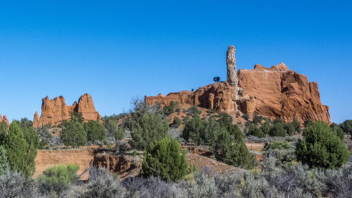
We find this not very interesting ! The starry night is beautiful. The Milky Way is super beautiful. We rarely see it like that at home.
Friday june 8 : we arrive at the Bryce Canyon Sunset Campground ($ 15) to set up our camp. In the afternoon, we start the trail Sunset - Navajo Loop - Peek to Boo Loop - Sunset : 4,3 miles. Peek a Boo Loop is very pretty but quite steep.
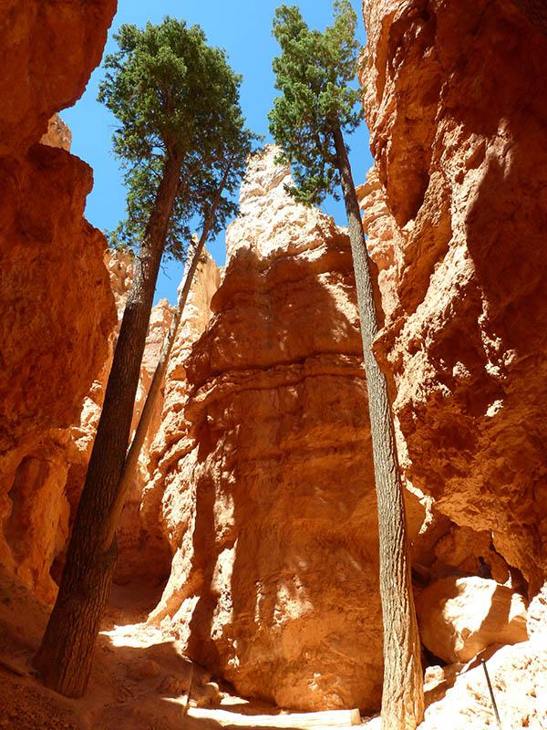
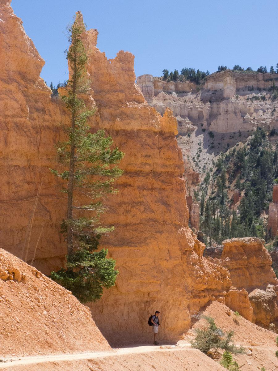
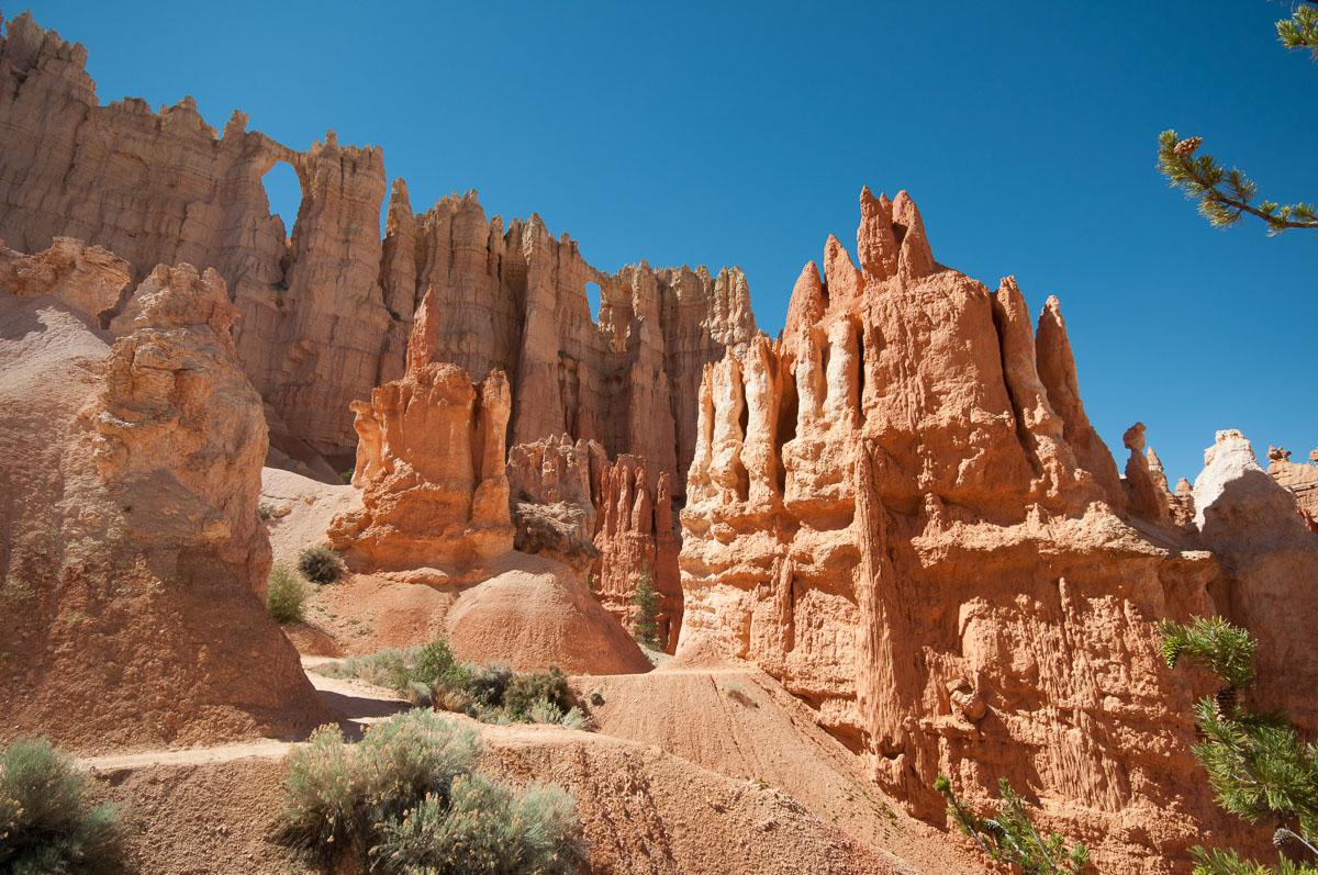
This route allows for great views (usually seen from Bryce Point). The program of the evening is campfire and hot dog!
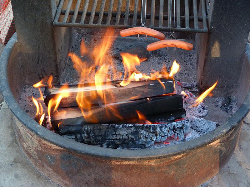
Saturday june 9 : we leave for Zion. We are trying to find a room in Springdale but it is too expensive. So we go to Hurricane Super 8. We will spend 3 nights there. It's very hot. We are too lazy to do a hike, so we take the opportunity to do some laundry and some shopping. We dine at JB's next door.
Sunday june 10 : let's go for the Angel's Landing hike around 8:50 am. It is still cool 64°. We go up in the shade. Yes, because it climbs steeply : 1000 feet vertical drop.
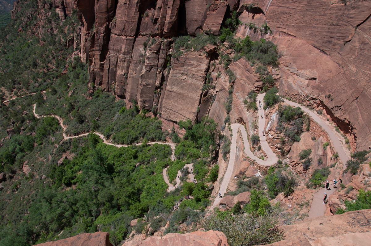
On the way, we pass in front of a couple of owls with his little one, who stays a little apart in a cave.
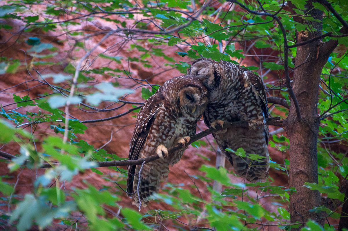
We spend a moment to photograph them. The passage of tourists does not seem to disturb them. We finally arrive at the top, at Scout Lookout. We stop here because the rest is even steeper (525 feet elevation) and the ridge is not very wide with chains to hang on!
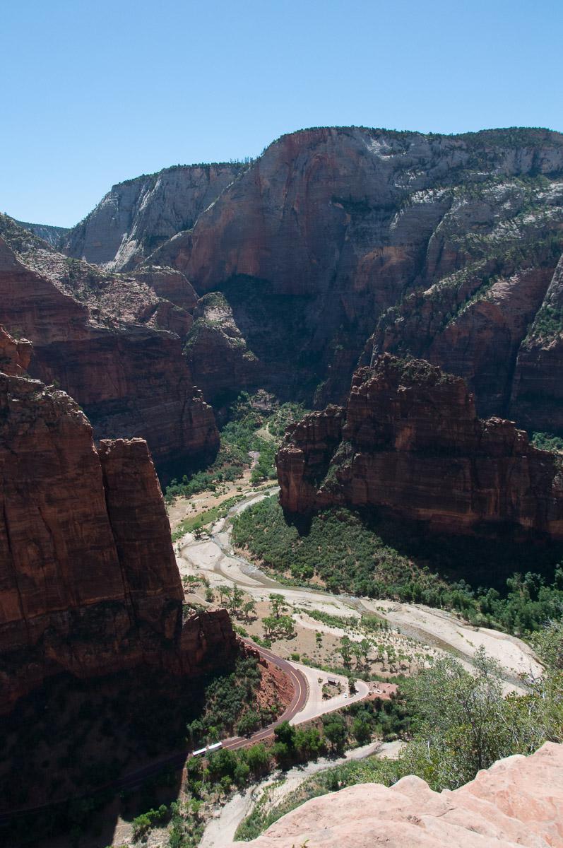
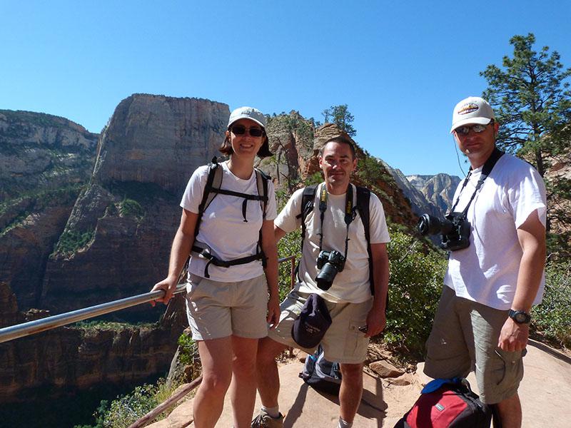
Once down, we nibble in the shade on the picnic tables and then go eat a good ice cream near the Zion Lodge. On the way back, we stop to visit Mickael Fataly's photo gallery and then Virgin's Trading Post.
Monday june 11 : we proceed to the Left Fork of North Creek car park to begin the descent to Subway early (6:30 am). It is cool: 53 °. We arrive at the Subway around 8:30 am, at the right time for the light on the pools. That's wonderful.
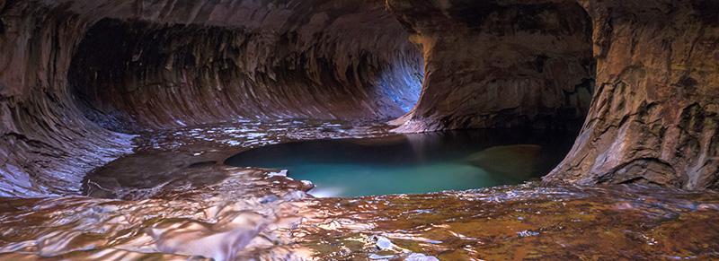
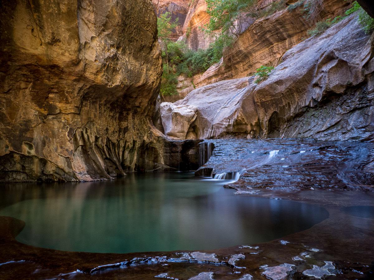
We take plenty of time to take pictures, we picnic and then leave in the middle of the afternoon. The ascent is quite steep and in full sun, we often stop to drink as it is hot (88 °). We arrive at the car park at 6:30 pm. We have dinner again at JB's.
Tuesday june 12 : departure to Moab. At 4:30 pm, we arrive and it is very hot 95 °. We decide to take a motel because here the campsites are not very shady. We find a room at the Adventure Inn. It's very good and clean. No pool but a small lawn under tall trees with tables in front of the hotel, which will allow us to eat outside without having to eat at the restaurant. We go shopping and then have dinner on the lawn.
Wednesday june 13 : the day promises to be torrid: it is already around 86 °. Today, we visit the parts of Arches Park that we do not know yet, starting with Park Avenue (1 mile one way). It's nice but not exceptional.
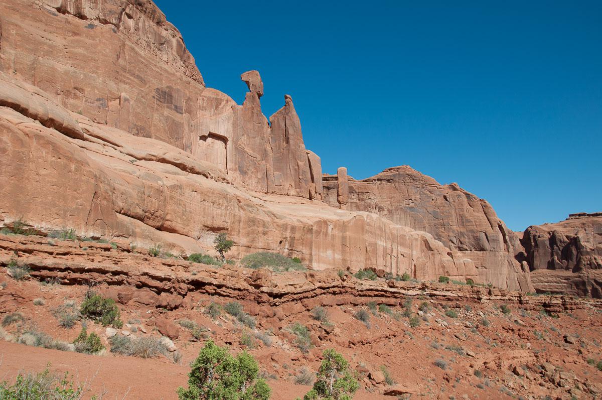
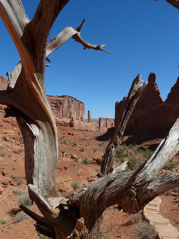
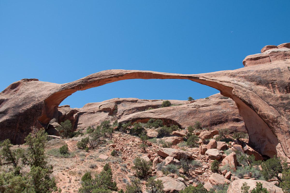
We are returning to Landscape Arch that we already know but we like it. She is still whole!
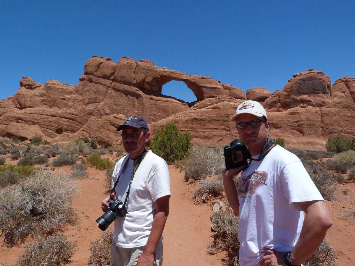
Around 12pm, we picnic on the nearby area. Then we go to Skyline Arch which is 1000 feet from the road. Nice!
Then direction Sand Dune Arch. The ark barely comes off the rock of the same color. Nothing terrible!
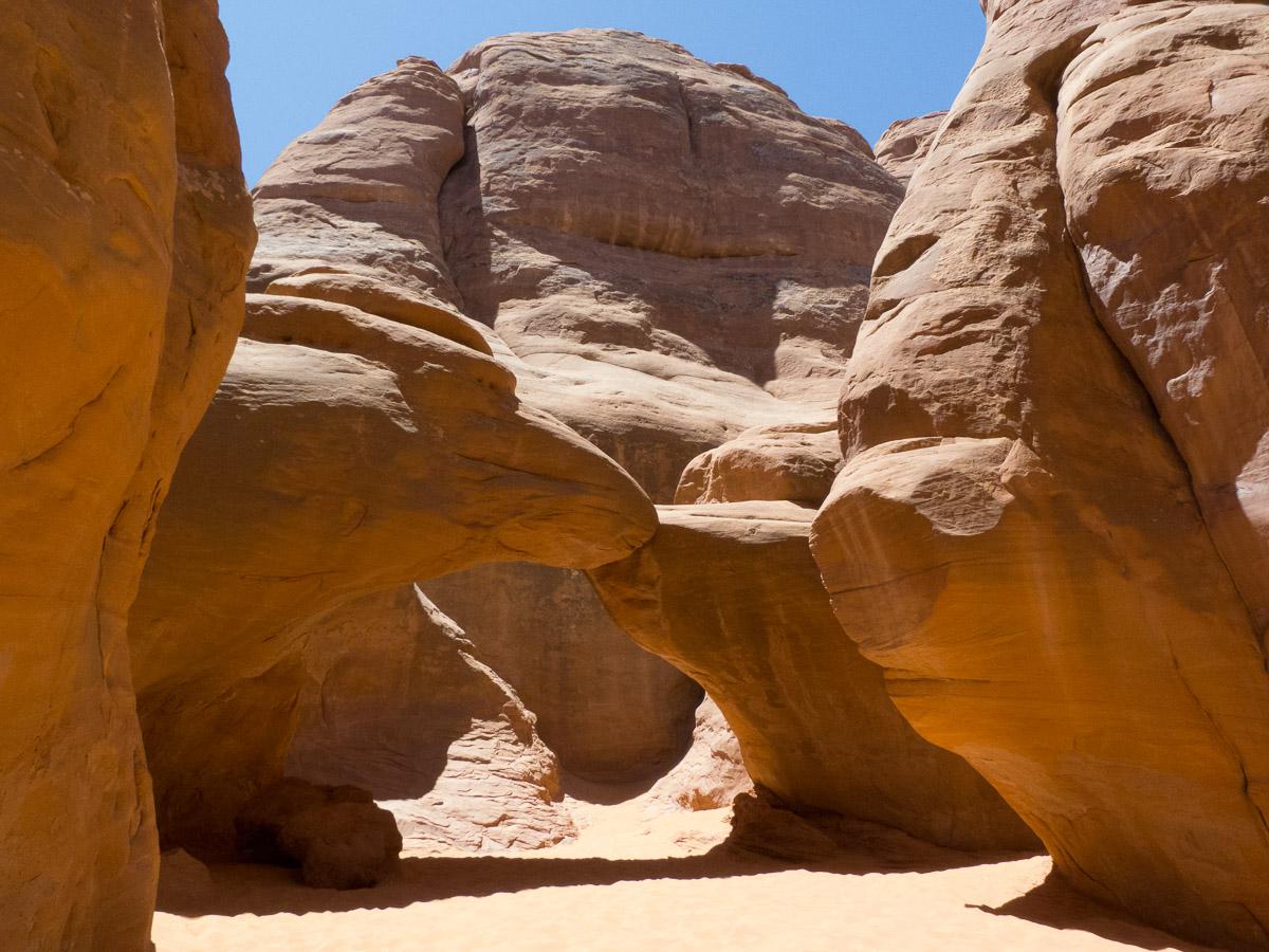
Finally, we go to Double Arch, Turret Arch and the Windows.
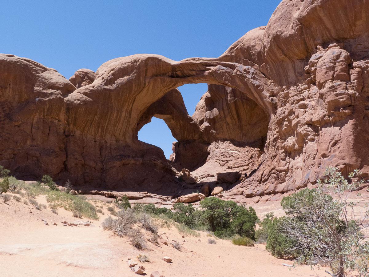
The heat begins to be unbearable (95 °) especially since there is no shade. At 3.30 pm, we return to the hotel and on the road, we reach 100 ° F ! We will eat an ice cream in Moab and then we will rest in the cool cool of our room. In the late afternoon, we go to Delicate Arch to watch the sunset, it is always hot (~ 104 °). We start the hike at 6:30 pm, we need 35 minutes to go up. There are already plenty of people and you have to be patient to take photos because of the tourists who pose in front of the arch. The arch that lights up as the sun goes down is still beautiful.
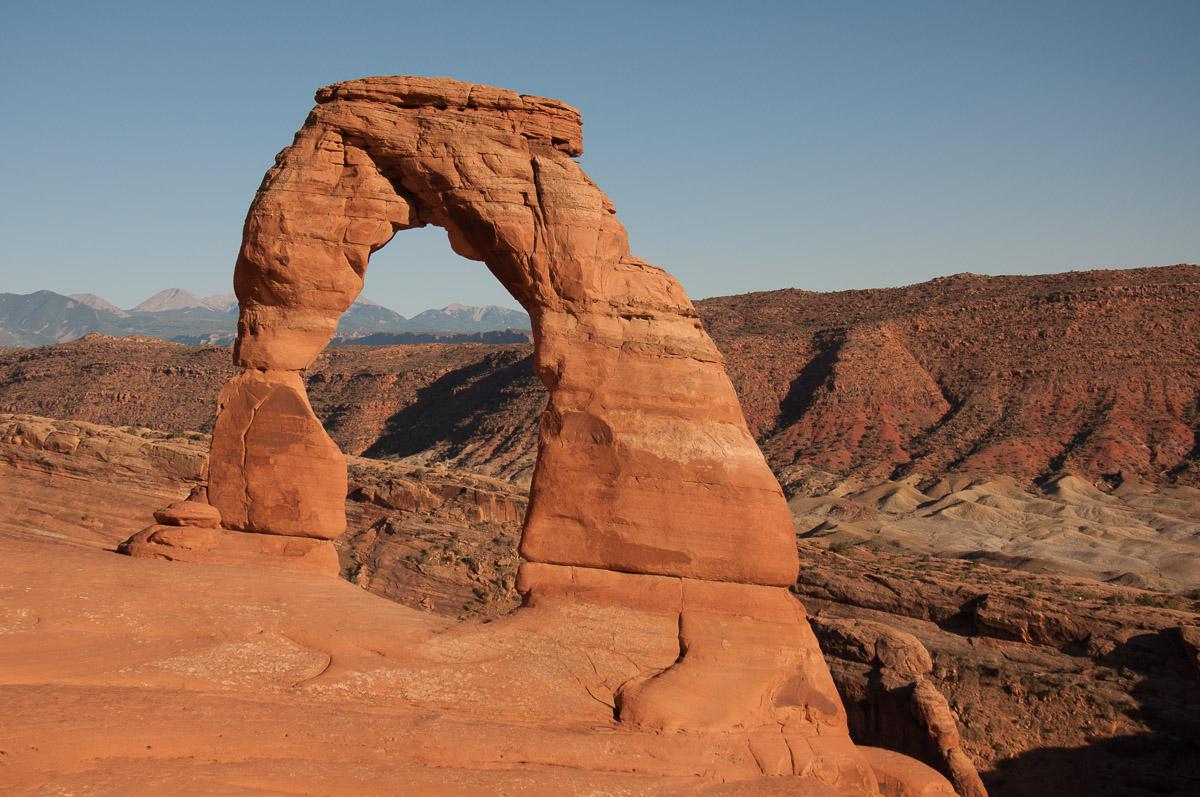
We go down and as a tradition after seeing Delicate, we are going to eat at Denny's.
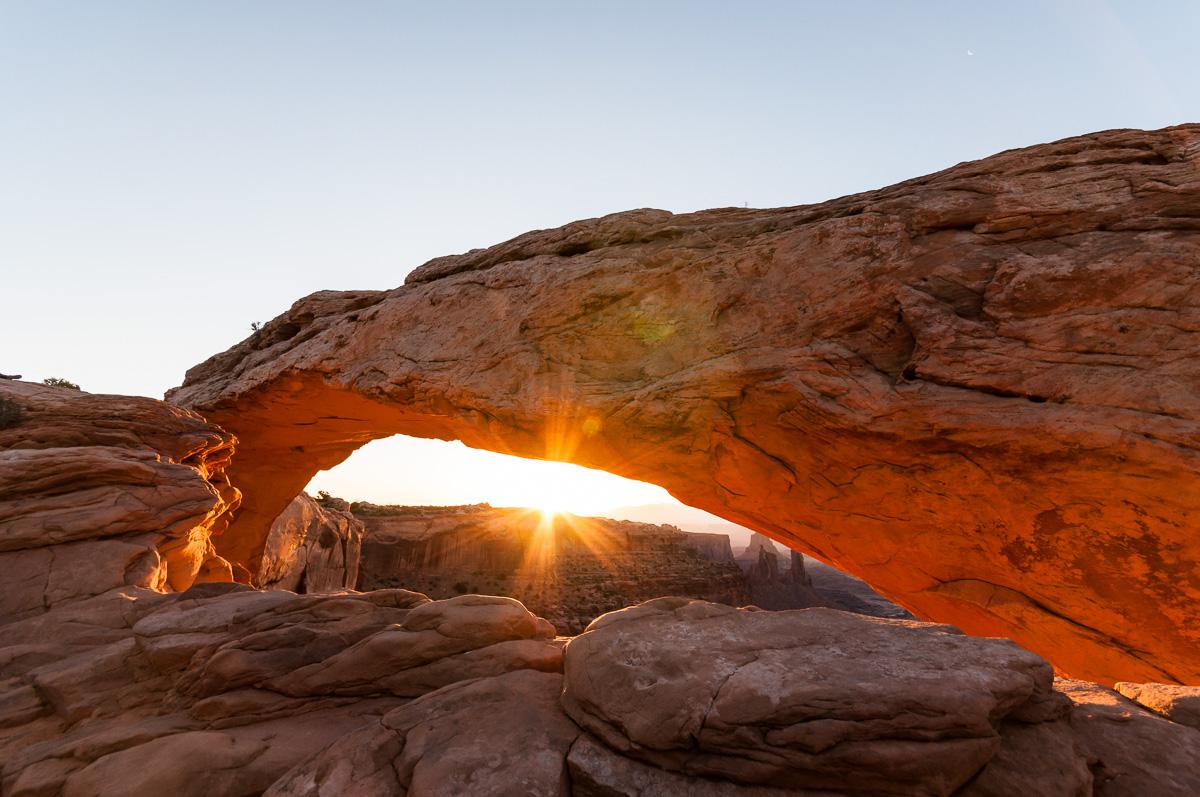
Thursday june 14 : we get up at 3:50 am to go to see the sunrise on Mesa Arch in Canyonlands. It is a pretty nice arch through which the sun rises. The bottom of the arch then becomes orange and it's beautiful. On the other hand, the place is very frequented by the photographers.
Then, we go around a few viewpoints of Canyonlands: Green River Overlook, it is a beautiful viewpoint in the morning; Overlook (blah!); Grand View Point, beautiful view of the canyon in the shape of a crow's feet;
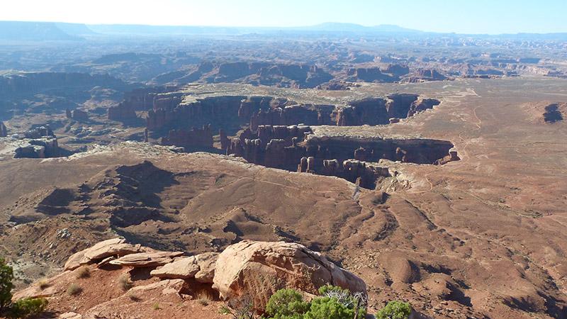
Buck Canyon Overlook, not bad but is against the light in the morning. It is already 75 ° at 8:30 am ! Then we go to Dead Horse Point ($ 10 entrance). We make some pictures.
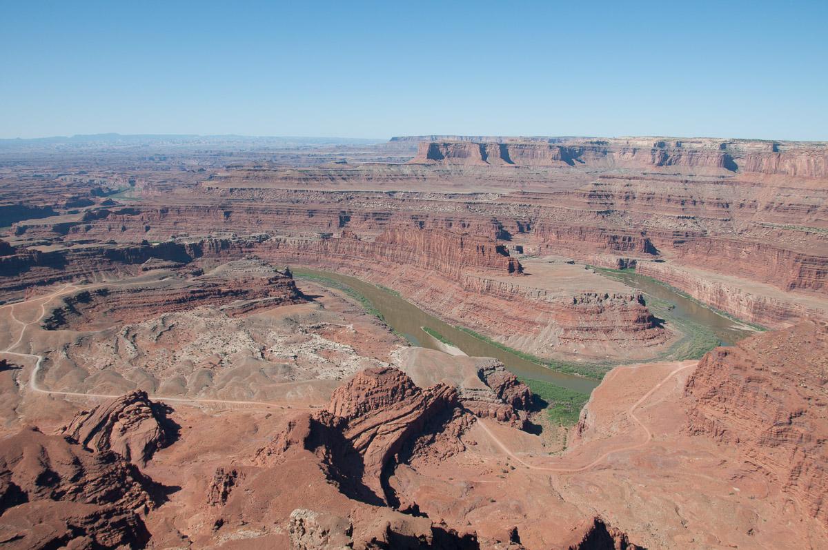
We are going to be slackers today: it is too hot to go hiking, furthermore, in full sun (100 °). We return to Moab to do some shopping, then to the hotel to take a nap and we end the afternoon in the small garden of the hotel and we have dinner outside.
Friday june 15 : departure to Grand Teton at 8:15 am. We will do the road all day. To save time, we join the highways and pass near Salt Lake City. Then we cut by small roads: Garden City, Paris, Montpelier ... in the same day and in 10 minutes! It is cooler in the "north", 71 ° and some clouds appear in the sky. We settle for 3 nights at Moose Wilson Road Campground ($ 42 / night) near Teton Village. The pitches of the tents are at the bottom of the campsite and further away from the toilets! And RVs that are fully equipped are the closest! it's logic… ! The sites are small and badly done. There is just a dish tray in the middle of an alley with only cold water. It's still limited for $ 40. Campfire possible. In addition, the trees cry and the sap falls on the tents.
Saturday june 16 : it is 44° when we wake up. What a change ! The night was cool. We go to the Grand Teton Visitors Center for a list of hiking trails. We decide to start by hiking Taggart Lake and Bradley Lake Trails, 5 miles. It is a very nice walk in the forest, which passes through 2 lakes, it sometimes climbs.
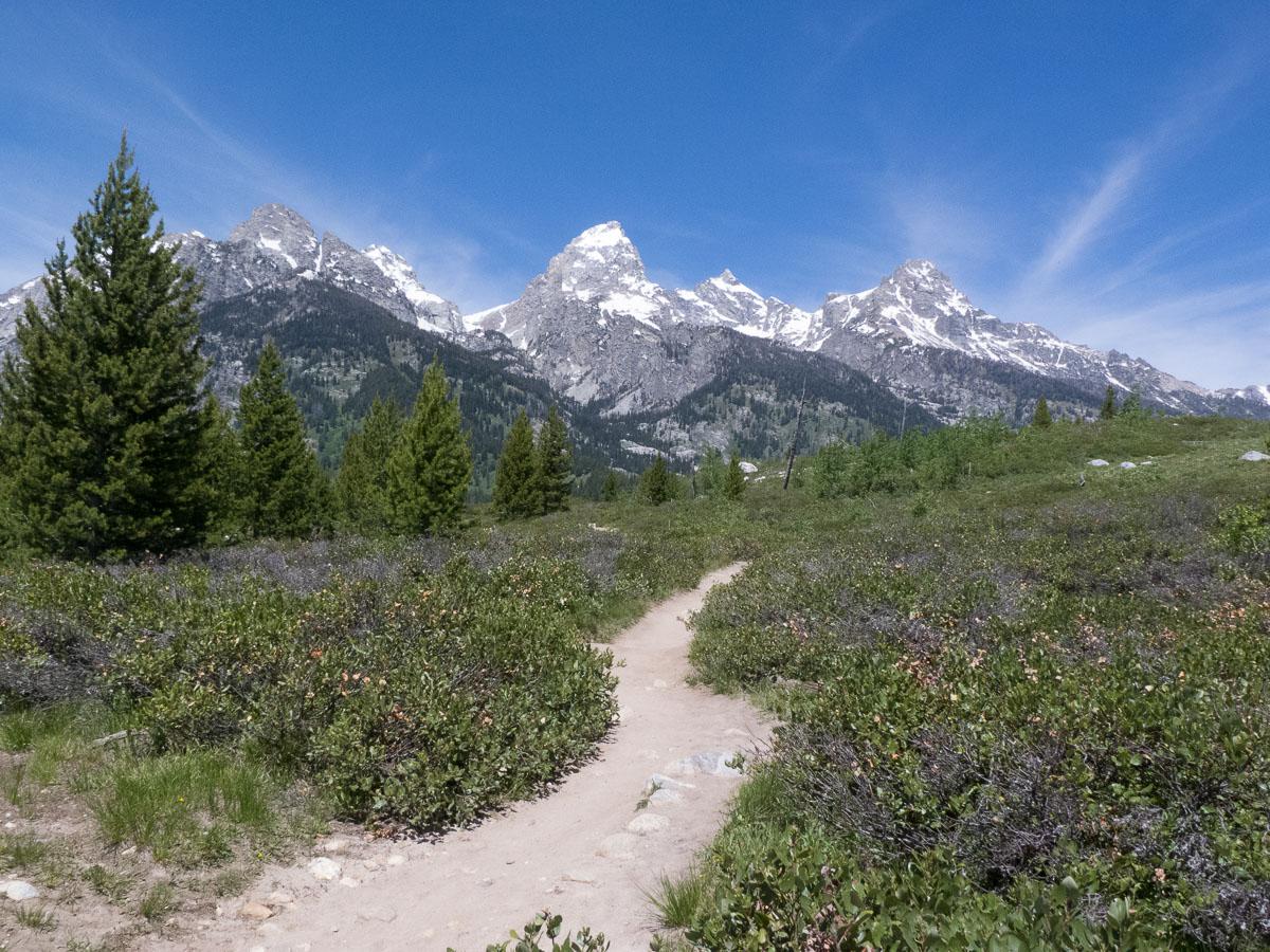
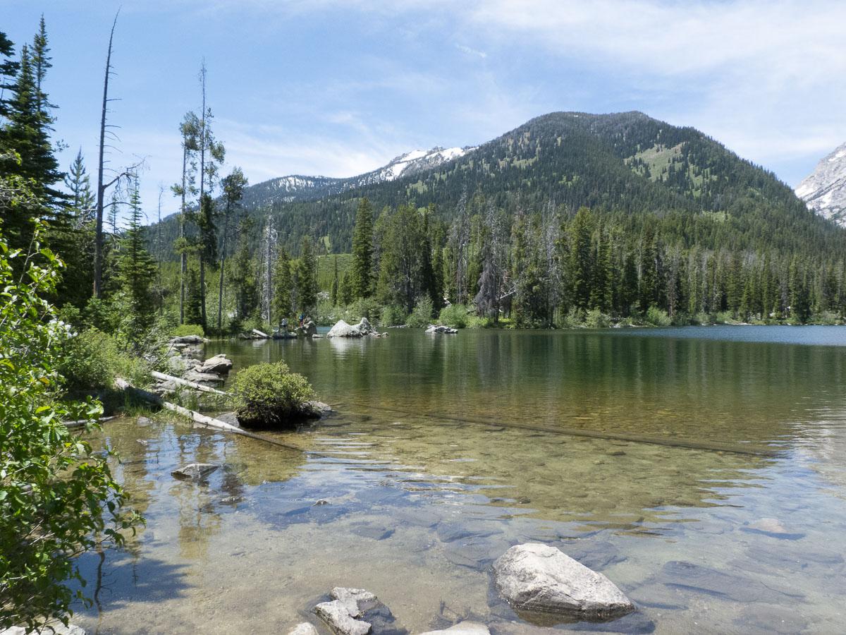
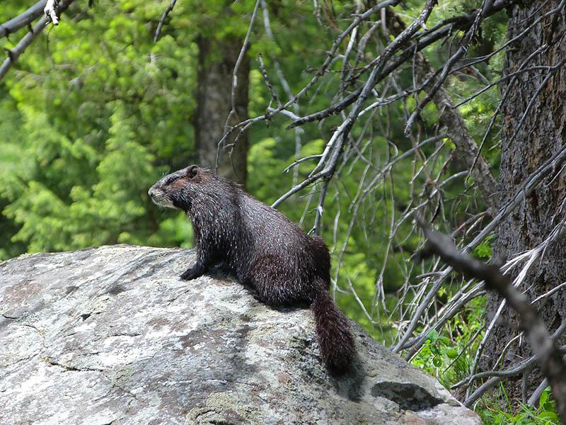
The various views on the Grand Teton are wonderful.
Sunday june 17 : departure for the hike to Inspiration Point that passes by Jenny Lake and Hidden Falls. 6,2 miles roundtrip.
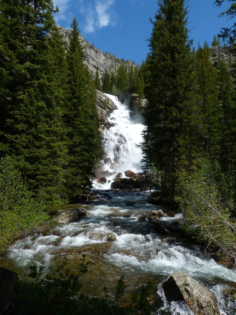
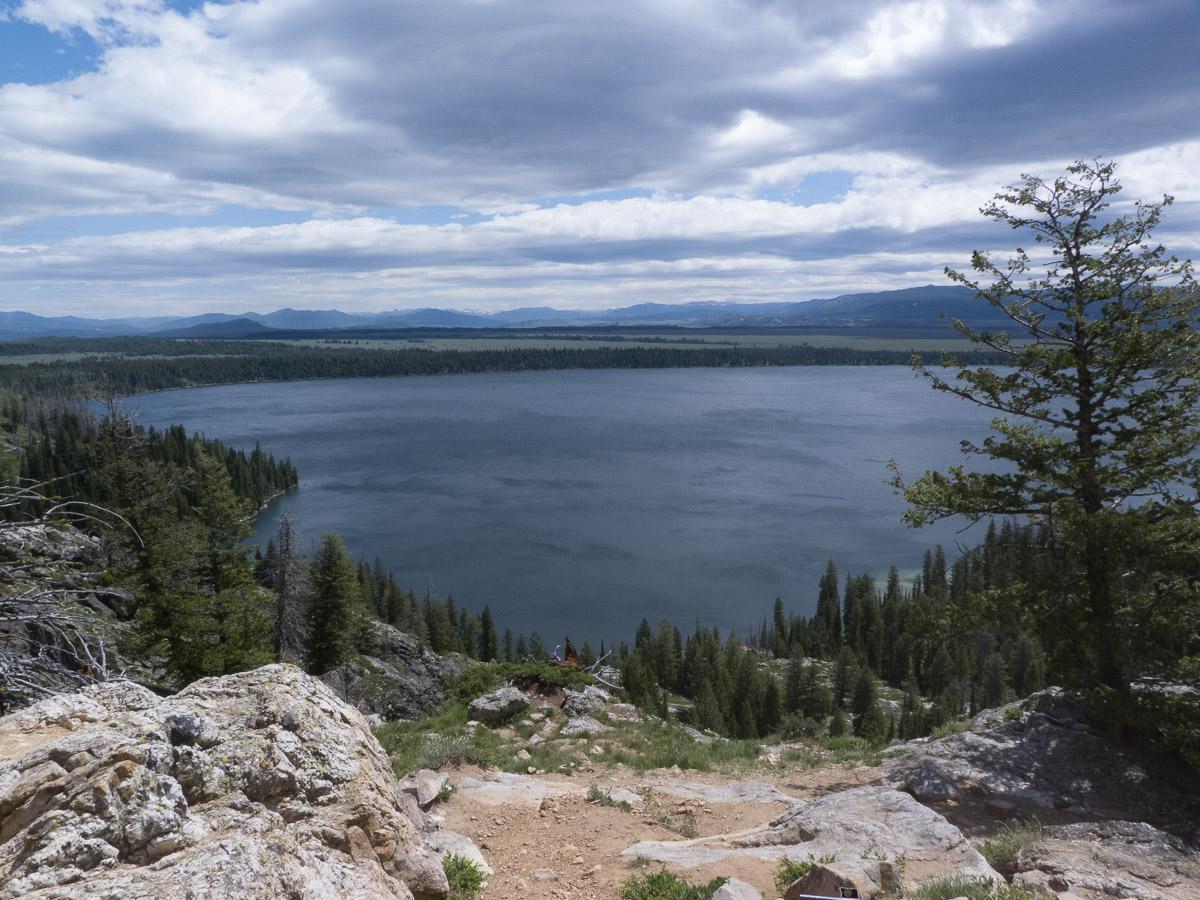
At the waterfall, we are joined by a group of tourists who arrived by boat. We picnic at Inspiration Point which gives an impressive view of the lake but it is quite windy.
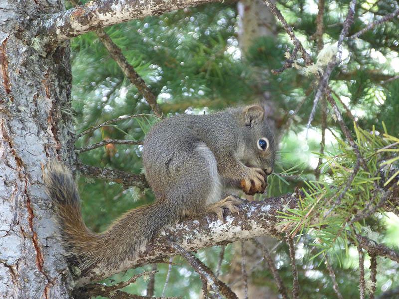
Squirrels are spinning around us and are ready to go in our bags to recover the crumbs of our snacks. Having more time in front of us after this hike, we go to Colter Bay to do the Lakeshore Trail (1,9 mile), but it's very average. On the way back to our campground, there is a crowd of cars and people and a ranger. At 1300 feet in tall grass, we see a bear ... well, especially his ears and sometimes his head. Apparently, this is a female with her cubs. We continue our journey through the Chapel of Transfiguration,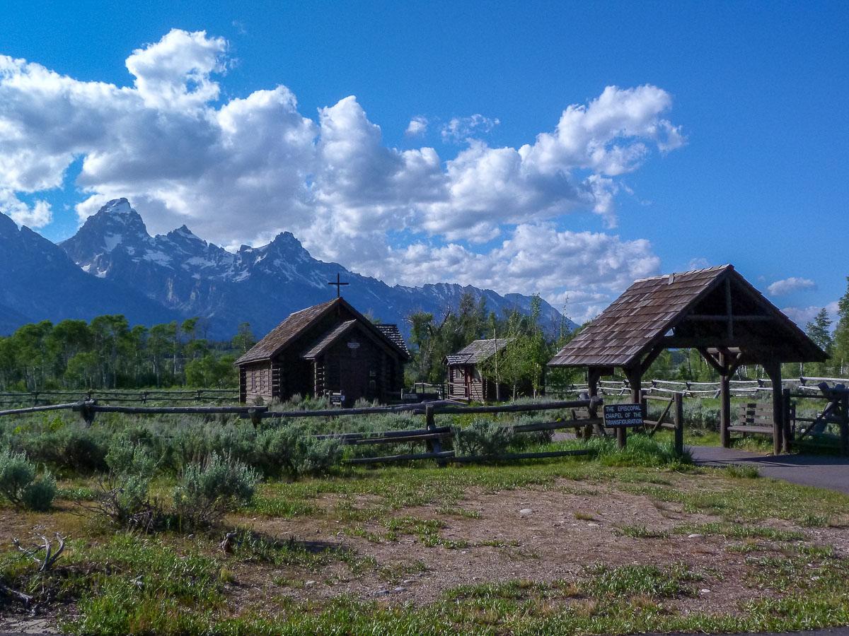
a few pictures and back to the campground.
Monday june 18 : we take our breakfast at the Jackson Lodge buffet ($ 15.50 - a bit expensive for what it is!). Then direction Yellowstone. We make several stops in the park: Grand Prismatic, going on the small hill to see it from above,
.jpg?v=1d69889)
Biscuit Basin, Black Sand Basin,
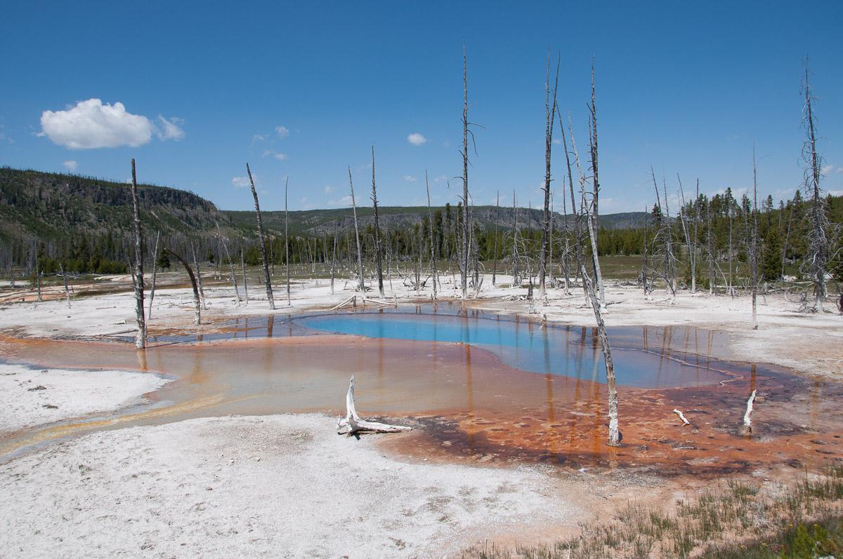
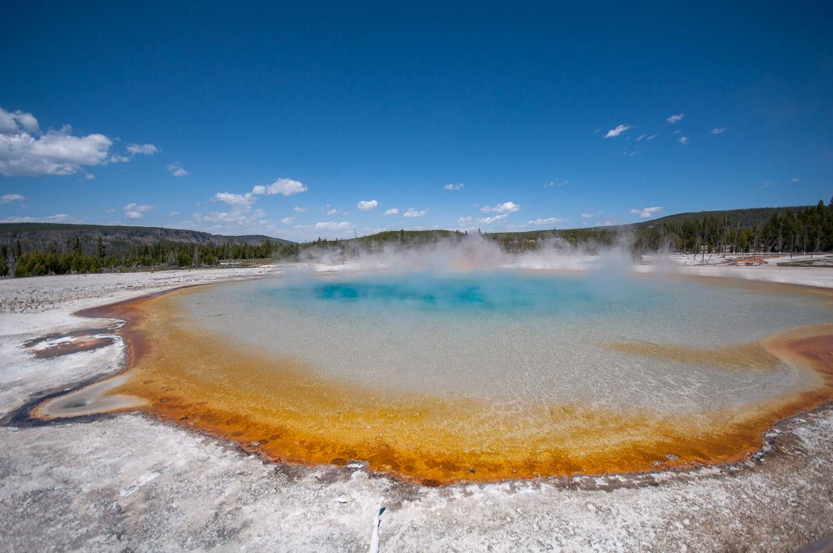
Midway Geyser Basin with Grand Prismatic this time seen from the bison floor, Firehole Lake with the Great Foutain Geyser and finally Mammoth Hot Spring in the Canary Spring part. Here, the colors have changed a lot compared to what we have already experienced here; this time everything is white and without color contrast.
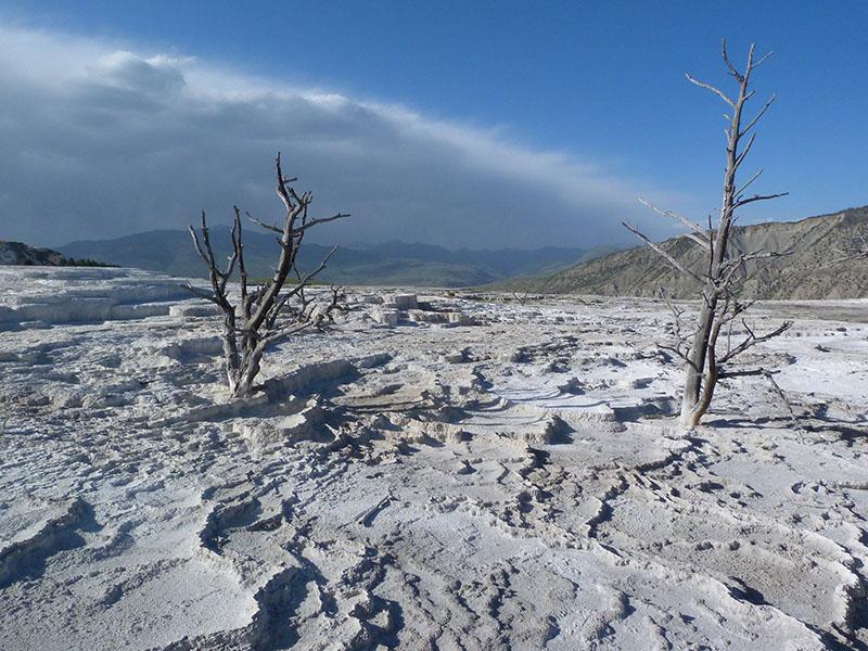
We leave at the end of the day for West Yellowstone to spend the night. We take a room at the City Center Motel ($ 120): large room, shared kitchenette with large living room. We will eat at the Three Bears next to the hotel (quite expensive).
Tuesday june 19 : we take the road back to Mesa Falls. Take the Mesa Falls Scenic Byway, it's 14 miles after the intersection. You have to start with the Upper ($ 5 entrance, free with the annual pass). Upper Mesa is very pretty especially in the morning because there is a rainbow.
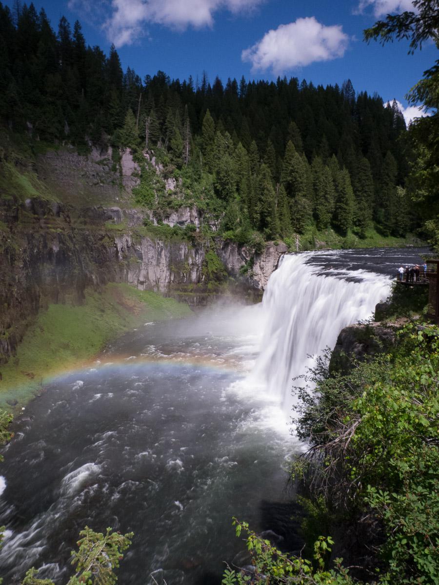
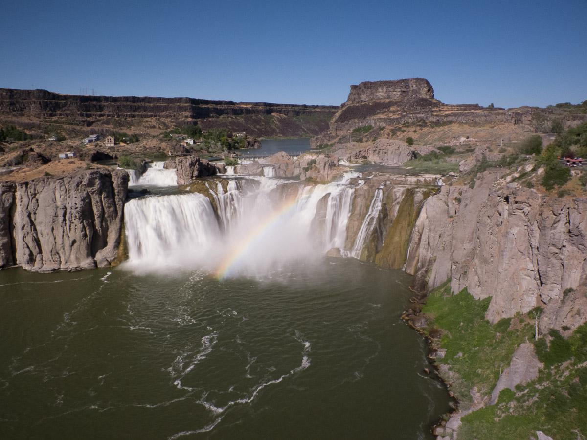
There is a 2 mile roundtrip trail that goes to Lower Mesa but the views are not great. On the road, we stop at a viewpoint on Lower Mesa. Then we head for Twin Falls. We make a stop at Shoshone Falls. The Overlook viewpoint is just before the entrance, which is $ 3 and provides access to the site and Canyon Rim Trail. We take a part of this trail to the bridge which gives a different view of Shoshone Falls and more complete without rocks in front.
After some photos, we go looking for a campsite. We settle at Koa Campground just off Twin Falls on Highway 93. It's windy and it's not hot. The campsite is nice with swimming pool, restaurant, games room and lounge. The pitches are a little small but sufficient for our small tents. Barbecue.
Wednesday june 20 : in this corner of Idaho there is a place called Thousand Spring that includes several sites with waterfalls. After tours and research ... we arrive at Ritter Island to realize that the grid giving access to the site is closed. The only accessible waterfall is against the light
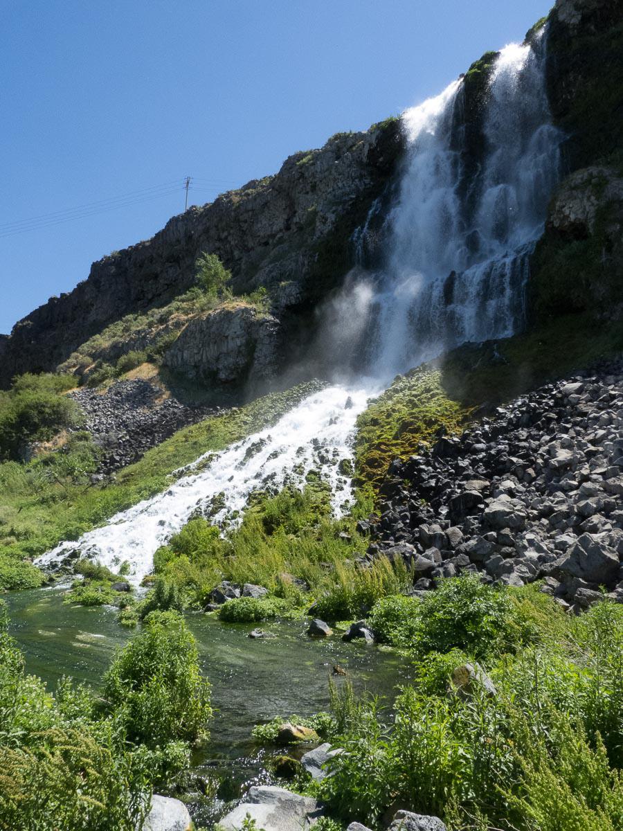
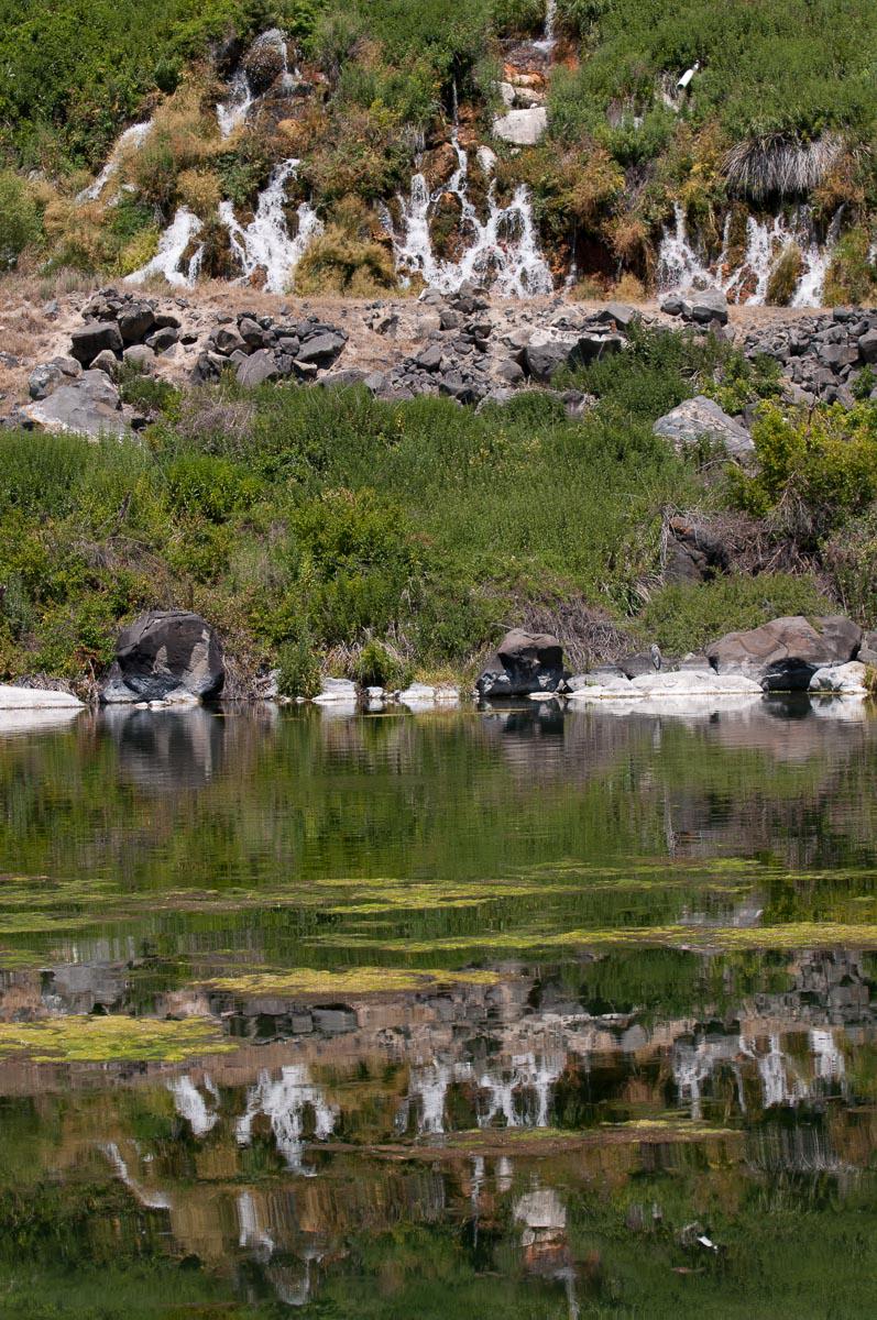
and snakes roam around. For a State Park, it is very badly indicated. Then we go to Niagara Spring. The best is to go through Bulh. The entrance is $ 5 per vehicle but it is expensive for a site that is disgusting (toilet paper, bottles that hang around), poorly maintained (tall grass) and it stinks! It's a shame because it's pretty. Small waterfalls are reflected in the clear lake.
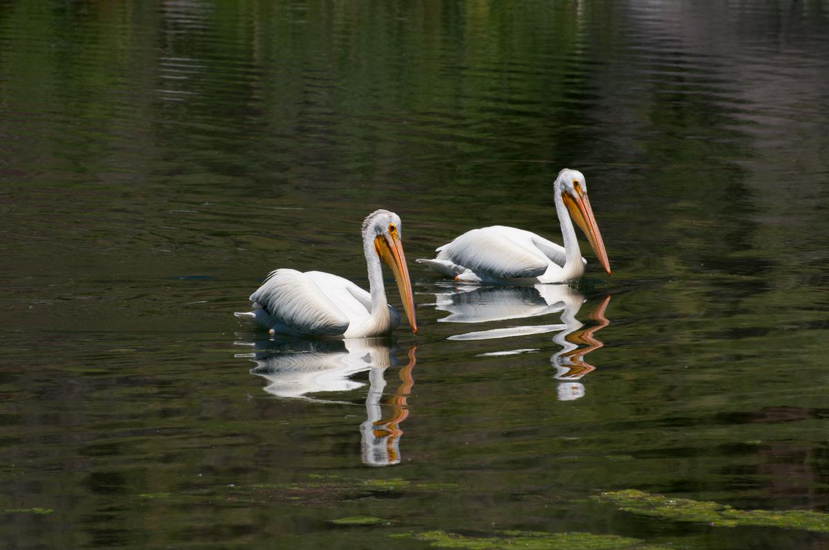
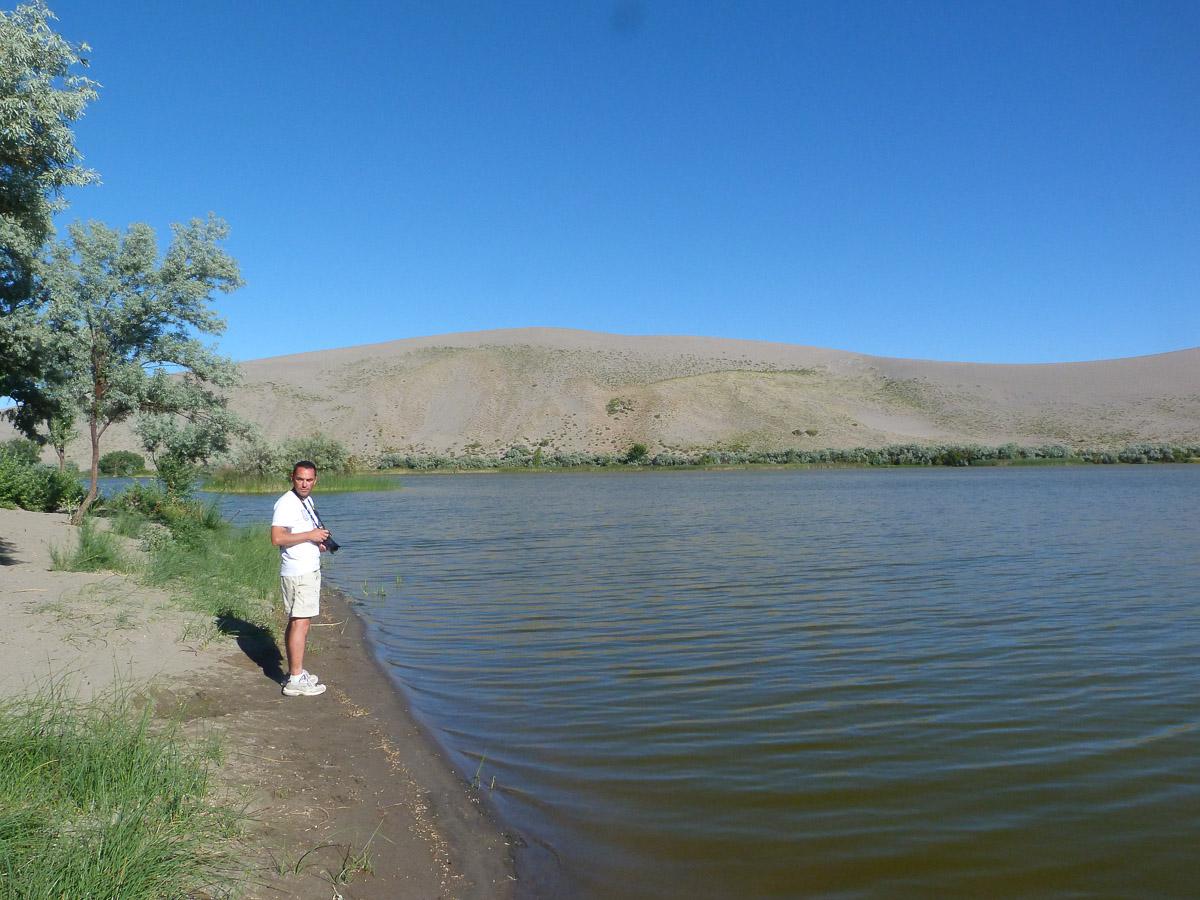
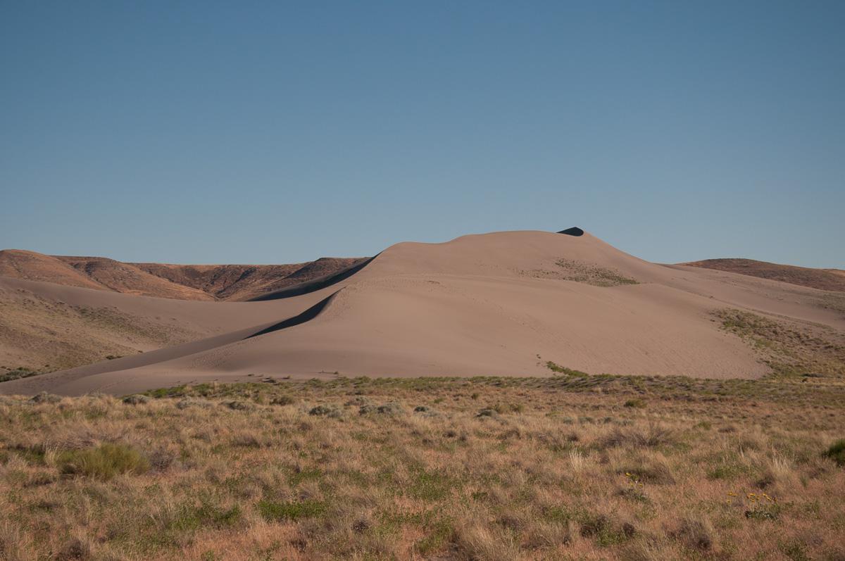
We picnic on the area that is nice and well maintained, it! After the pay stall at State Park, we stop at Niagara Falls. They are beautiful. Mountain Home direction to take a place at camping Koa. The toilets are small (2 toilets, 2 showers) but very clean and classes. The pitches are not too bad. We then go to Bruneau Dunes Desert State Park in the late afternoon at 18,6 miles. $ 5 entry for 3 dunes! The Visitors Center is closed, the observatory too. The trails are not very well indicated. It's really disappointing.
Thursday june 21 : the night was very very noisy: noise of the city, trains passing by honking all night, the public works company that starts very early ... We leave for Mitchell, a small town next to John Day Painted Hills in Oregon (here there is one hour of time difference). We find a room at the Oregon Hotel. It is a family-style B & B hotel, very kitsch! breakfast is included: coffee and muffins.
We take a tour in the village "old west": old wooden buildings, old-fashioned service station ... 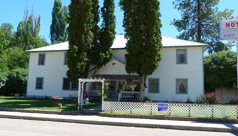
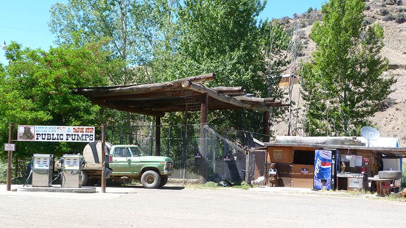
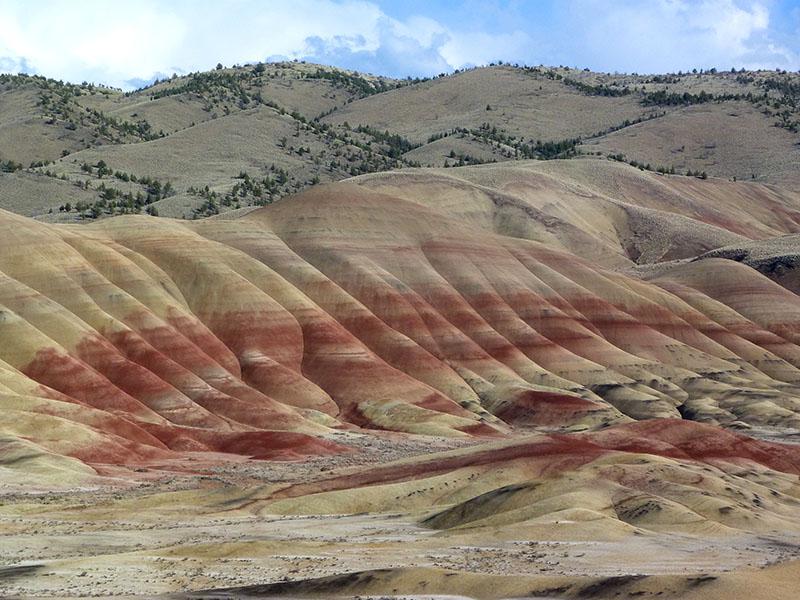
In the middle of the afternoon, we go to Painted Hills 9 miles from here. We start with the Overlook Trail (1.2 miles). This is the most touristic path that gives an overview of the orange and red dunes.
Then we hike the Red Hill (0,5 mile).
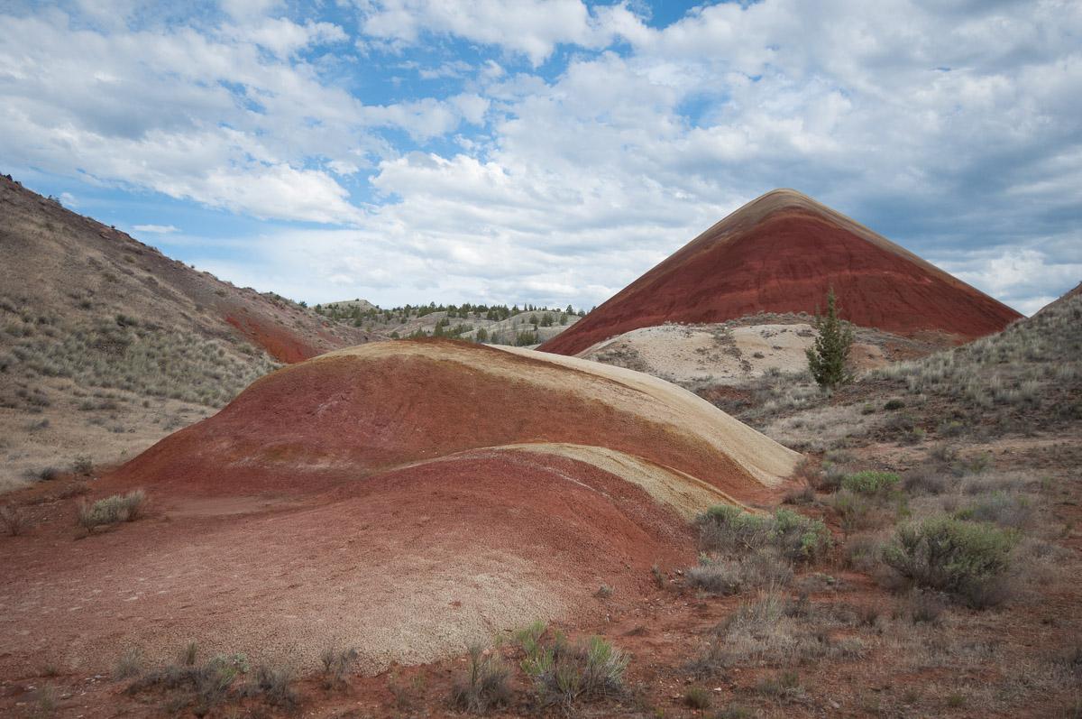
We return to the Overlook to enjoy a break in the clouds (indeed, it's covered today). Back in Mitchell, on the advice of our host at the hotel, we will eat at the Little Pine Café (burger). Very rich.
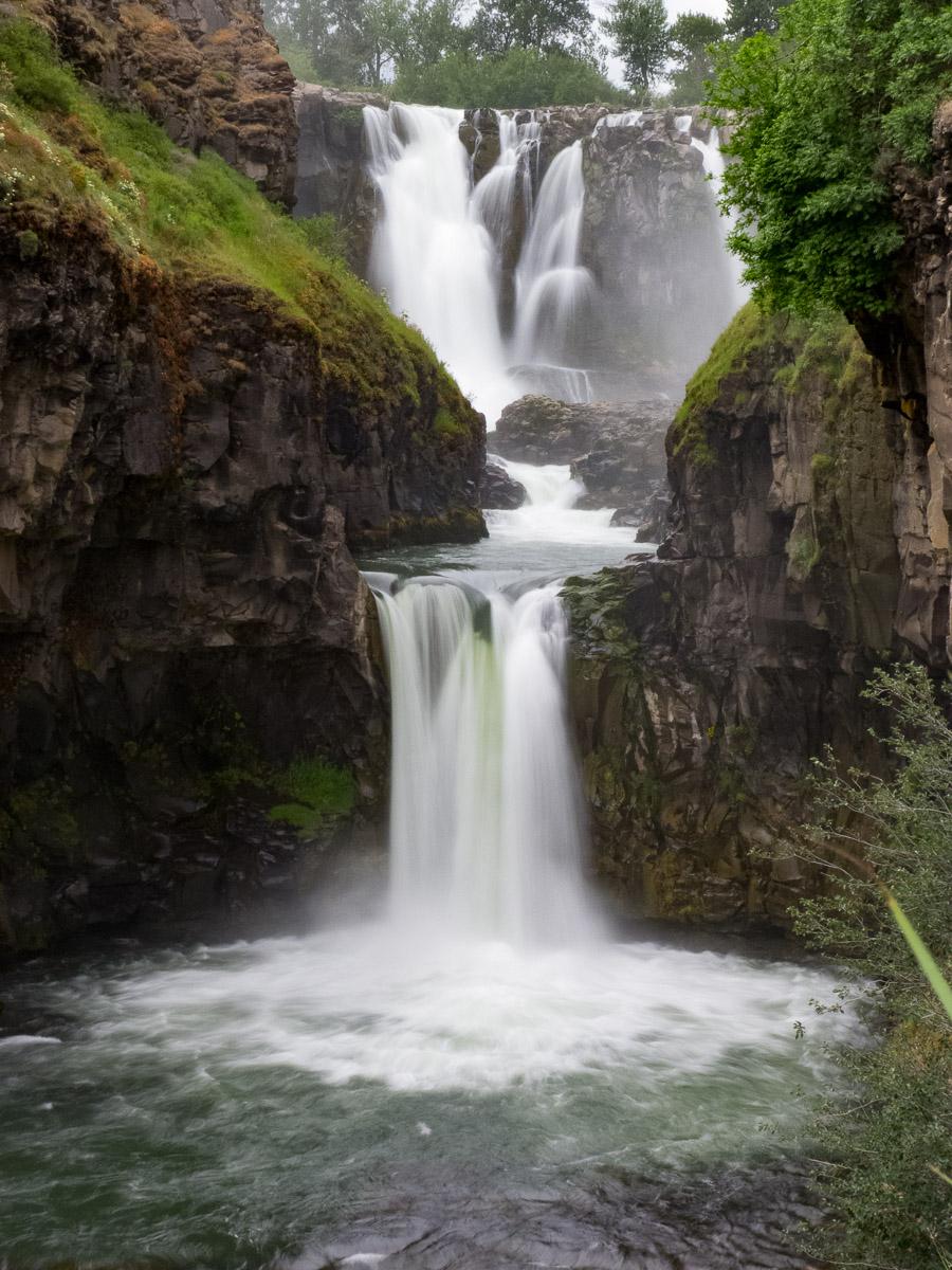
Friday june 22 : en route to the town of Cascade Locks, on the edge of the Columbia River with a stop at White River Falls. The sky is very overcast, it's raining and it's cold. When we arrive at White River Falls State Park, it stops raining. What a chance ! We descend a little further along the river to better see the waterfall. It is very beautiful.
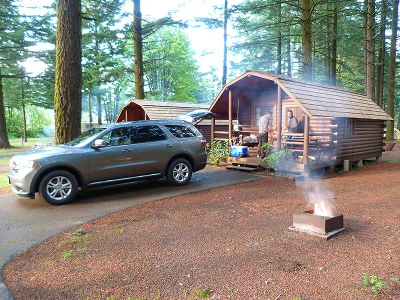
We then go to the Cascade Locks' Koa Campground. Given the weather (alternating rain and thunderstorms), we take a night in a cottage: there is one left and it is the most expensive! But it's luxury with bathroom, kitchenette, TV. We reserve the following 4 nights in the campground. There is a pool, spa, washing machines. We'll do some shopping and then have dinner at the cottage.
Saturday june 23 : it has been raining since 4am and it does not seem to want to work out. Fortunately we are not in tents! We will have breakfast offered by the campsite: pancakes, coffee. We are asking for a second night in a cottage. There is a free cabin (cheaper than a cottage) but just with 2 rooms (no kitchen or private bathroom, you have to use the sanitary).
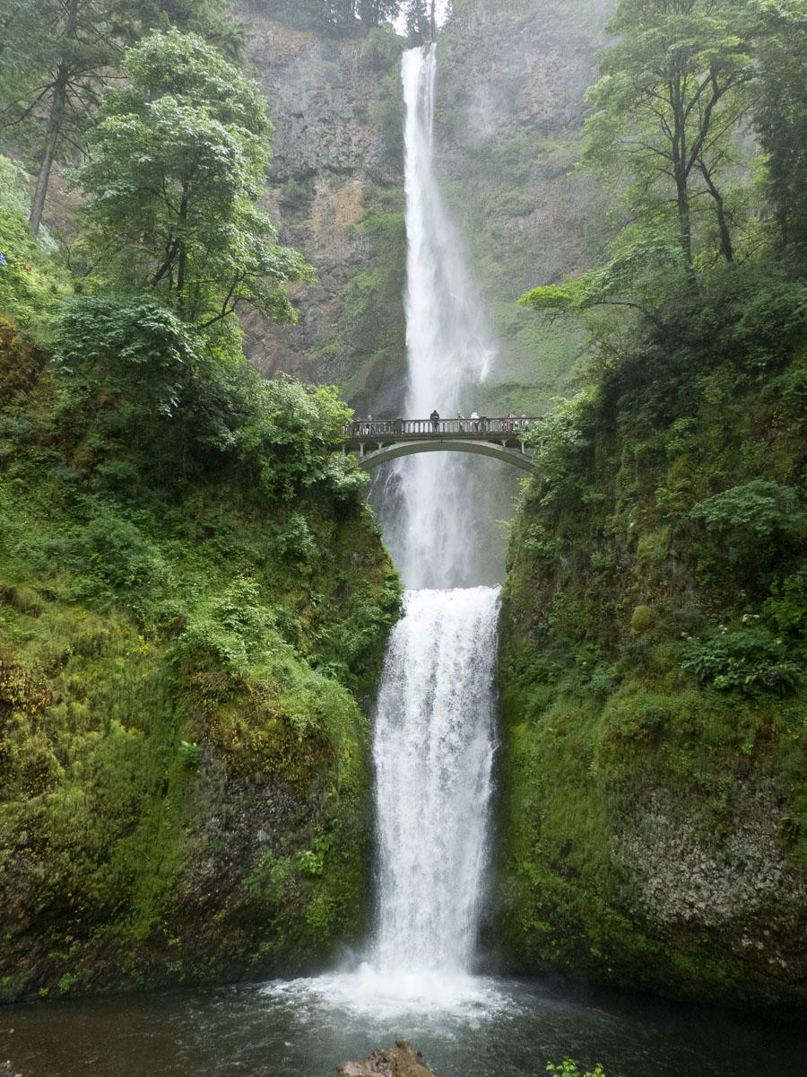
Given the bad weather, we decide to go buy some Oregon wine to bring back to France. We go to The Dalles in a supermarket. It is 53 °, it falls ropes, it's all gray, foggy. Depressing! Leaving the Safeway, the sky is clear in places. We take advantage of the clearing to go to Multnomah (exit 31 of I84). It's full of people (at the same time, it's Saturday). It's nice but not easy to take pictures in long exposure.
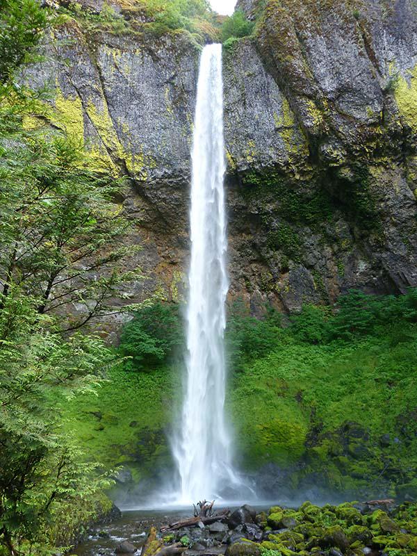
We then go to John B. Yeon (exit 37 on I84) to see Elowah Falls. The short hike is 0,8 miles. The waterfall is very pretty.
Then we go to Upper Falls, 0.25 miles away from Elowah. Not easy to take pictures. By cons, we have a beautiful view of the Columbia Rriver and the mountains in the background.
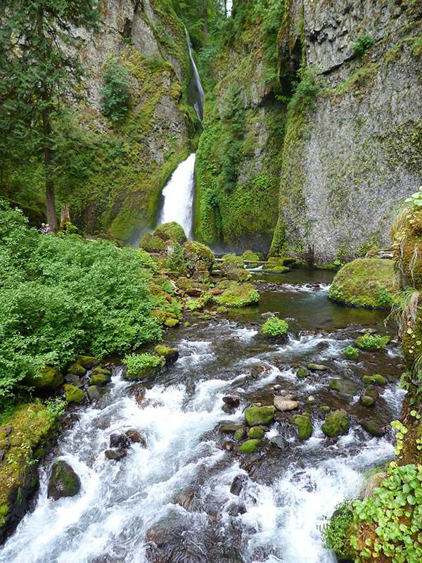
Sunday june 24 : finally, we decide to take the following nights in cabin because the weather does not provide much improvement in the coming days. We will be more dry and the tents will not be wet to put in the bags for the departure! In the morning, we leave for Eagle Creek Trail (exit 41 on I84). Admission is $ 5 but free with annual pass. We go to Punchbowl Falls. It climbs! The waterfall is tucked into the gorge and so easy to miss. It is necessary to advance in the middle of the river on big pebbles. Be careful, it's slippery.
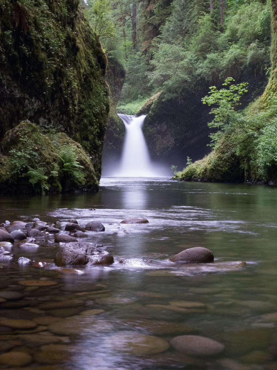
On the way back we stop at Metlako Falls. It's only a viewpoint. We then go to Wahclella Falls. It climbs a little. 1 mile one way.
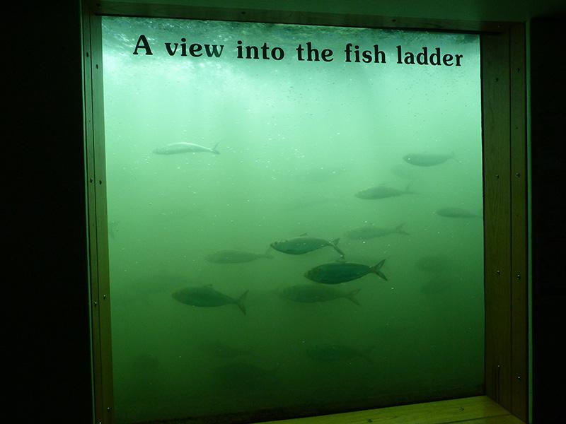
At 4:45 pm, we go to Bonneville Dam (the building closes at 5 pm) to see the salmon ladders. The entrance is controlled by a guard who looks in our chest if we have no weapon. Then we head to the Visitors Center from where we have a view of these scales: underwater view and outside view. It's impressive, there are plenty of salmon ...
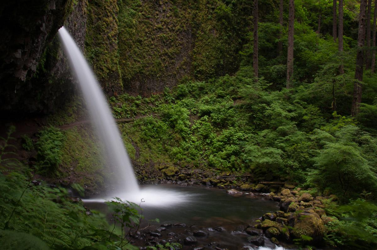
Monday june 25 : we start the day with Horsetail Falls Trail for which the return is via Oneonta Trail (3,1 miles round trip). This hike takes us through several waterfalls : Horsetail Falls (visible from the road, it is very high),
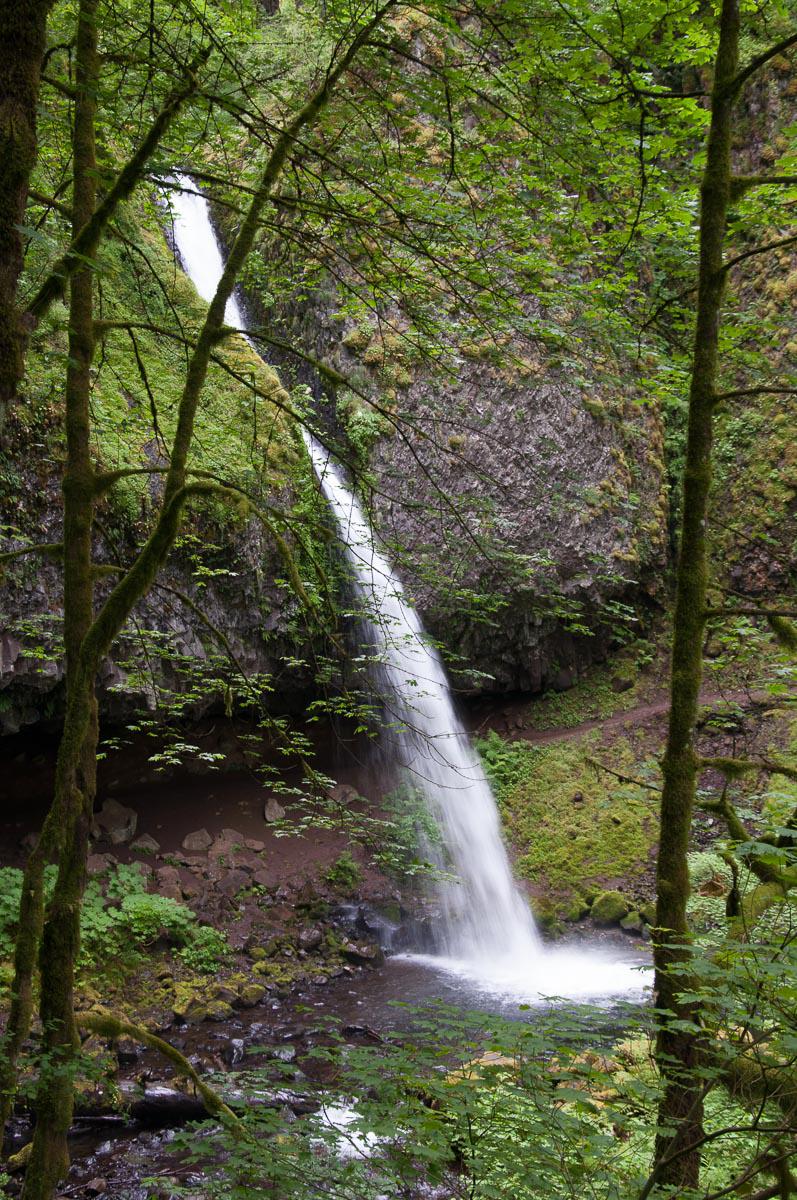
Ponytail Fall (the path goes behind),
Triple Falls from which we have a view from above.
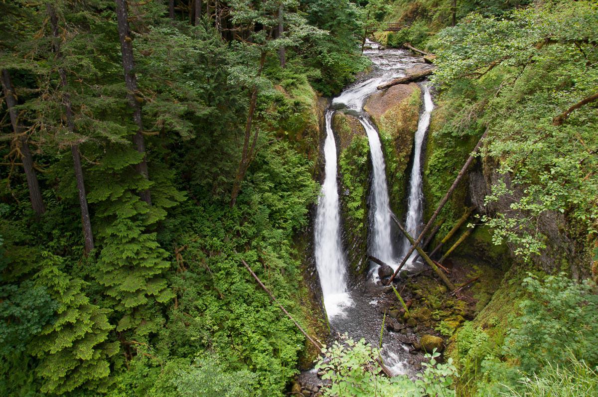
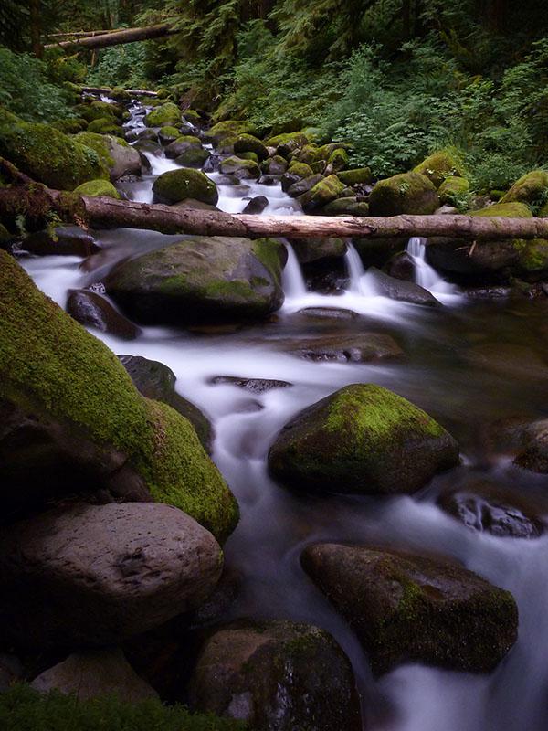
We spend a lot of time next to the river to take long exposure pictures.
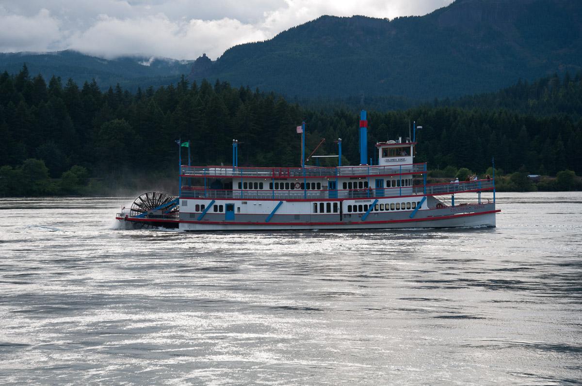
Tuesday june 26 : it is still raining this morning. Around 11am, we leave to drive toward the city of Hood River. We drive up to Panorama Point. There is a nice view over the valley, Mount Hood and all the big clouds ! We try to go to Lost Lake but once at the lake and because of the fog, we hardly see the lake. We go back to The Dalles to eat at Denny’s. We have a short walk at Marine Park in Cascade Lock. We see a lot of fisher with nets and a boat like those in Tom Sawyer !
Wednesday june 27 : today, we will take our first steps in the state of Washington to go to the Panther Creek Falls. We cross the Columbia River on the Bridge of the God ($ 1). We cross Carson, drive 6 to 7 miles, turn right then left on Panther Creek Road, # 65. The gravel parking is on the right. The trail is 160 feet to the west. We must be there before 9:30 am, we arrive too late because part of the waterfall is already in the sun.
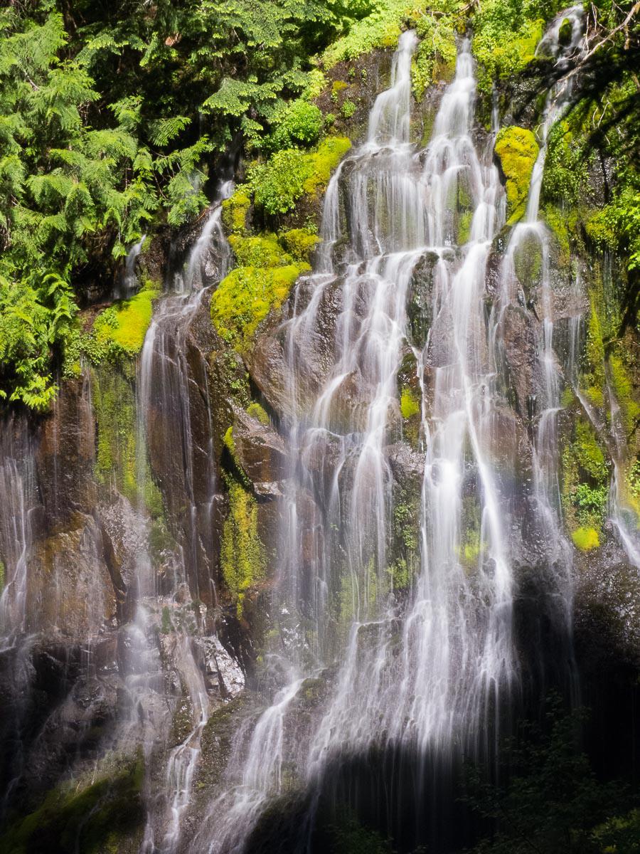
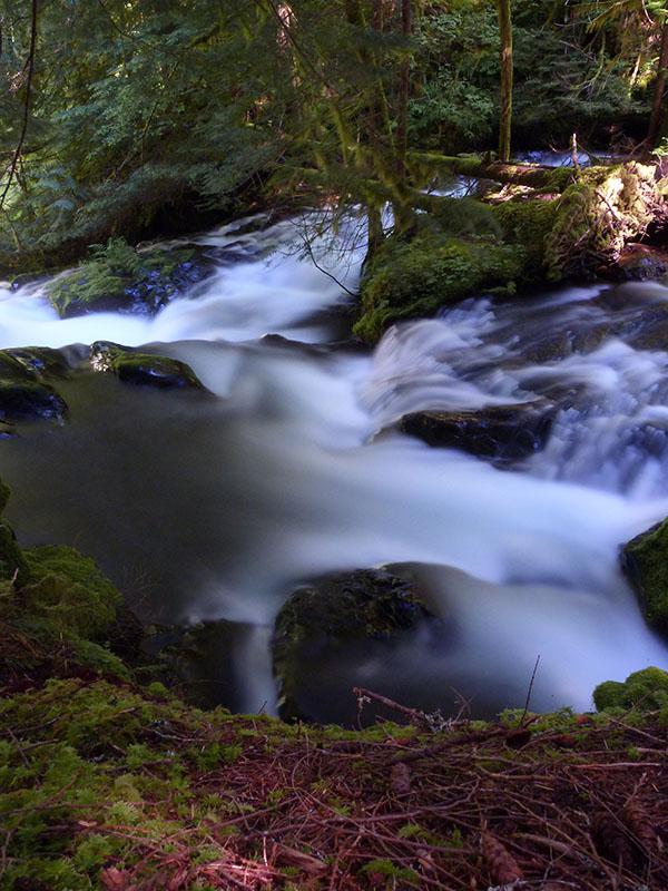
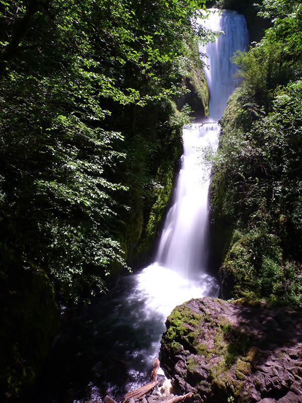
We take the bridge in the opposite direction and go to Wahkeena. The view point is 0.2 miles away. We then continue on Route 30 and we stop at Bridal Veil (2/3 miles). It is not very interesting.
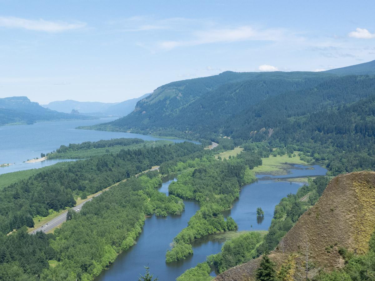
We then go to Latourell Falls but the road is closed today from Vista House Crown Point. From here we have a nice view over the Columbia River and the valley.
We take the direction of Portland: it smells the end ! We arrive at the Super 8. We pack our bags in view of the imminent return to France. Then we will eat one last time at Denny's. Then we will return the car to Alamo, which is next to the hotel. Except that we realize that Alamo is no longer here, but on the road to the airport. So we have to wait until the next day to return the car because it's too far to walk back to the hotel.
Thursday june 28 : we wake up at 5:15am. We have our laste american breakfast and we head towards Alamo to return the car. A shuttle drives us to the airport. We take our flight Portland - Atlanta with no problem and on time. After the stopover, we embark on our correspondence for France, and leave for long hours of flight.
Friday june 29 : we arrive safely in France. But as none of our travels goes smoothly, once on the ground in front of our gate, we wait a long time for the guy to bring the bridge. ¾ h after, we finally go down and go to claim our luggage. We easily find our taxi driver Taxis Fraizy who takes us home, in the countryside. But on the road, it's a disaster : there is a huge cork at the exit of the airport. We put almost 2 hours to go from Roissy to the Peripheral. And in all 3:30 to return home. What a pain ! The holidays are over.
Copyright Magali and David BELLEC