![]()
![]()
![]()
![]()

In this page, you will find informations and advices we can give, based on our experience
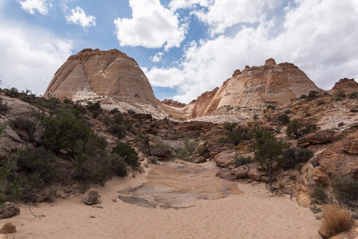
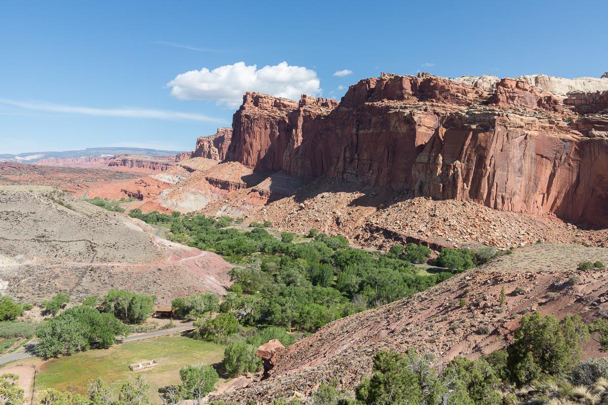
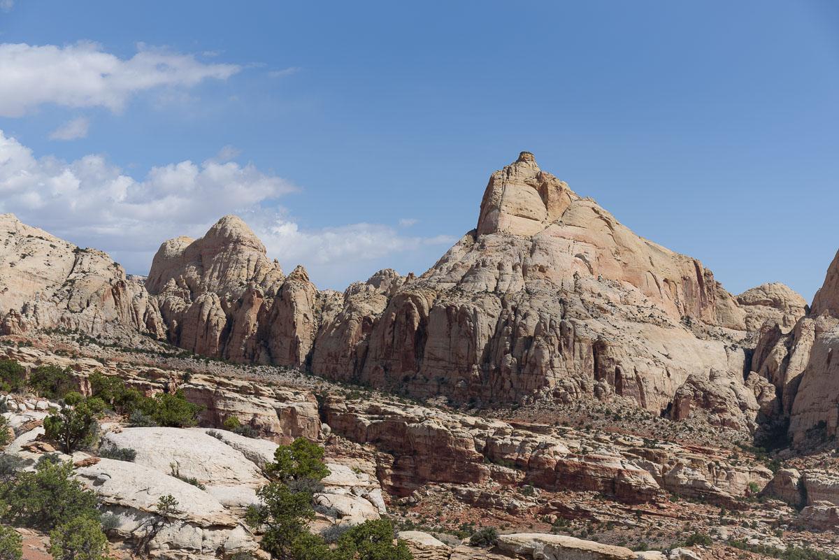
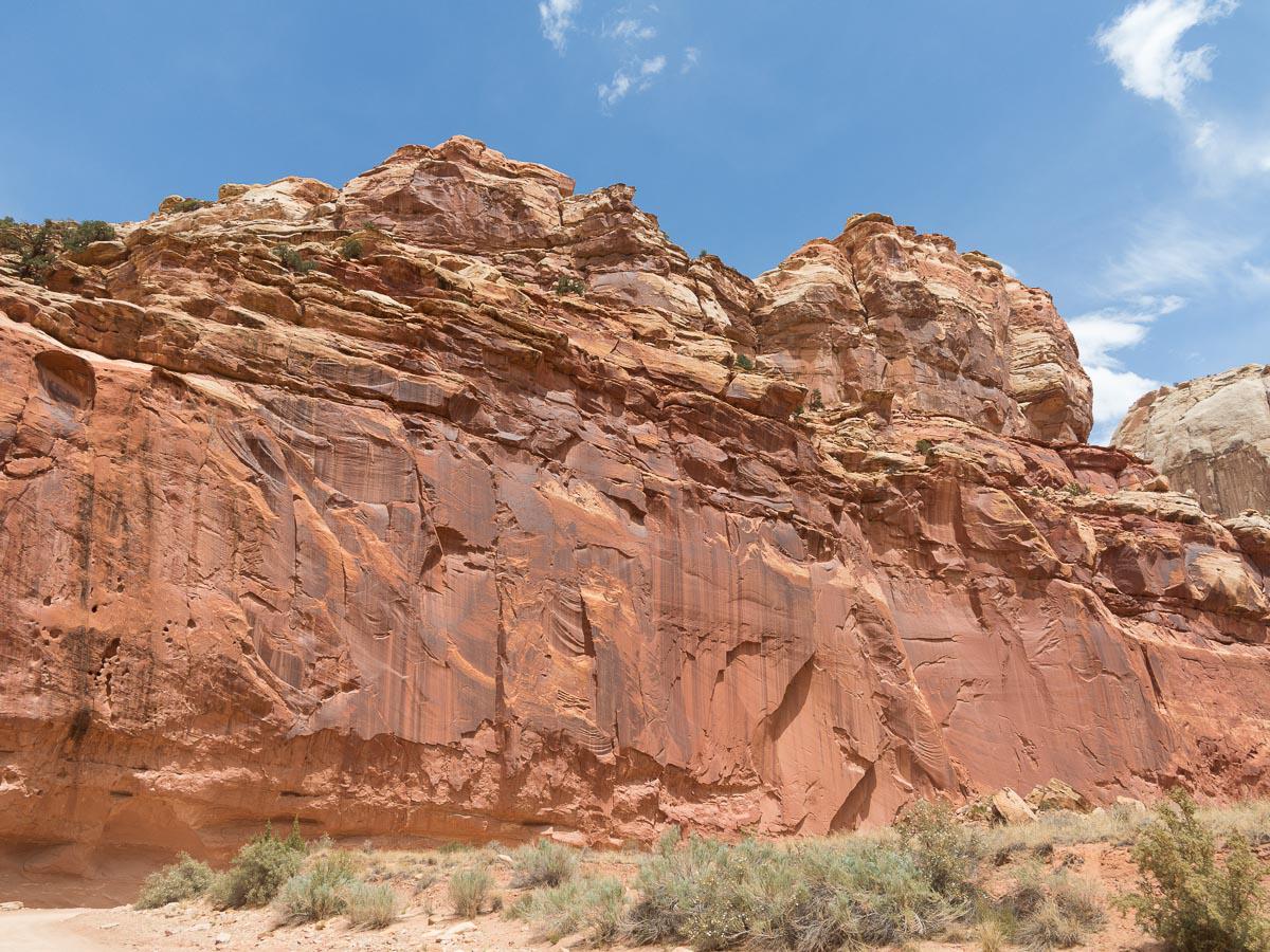
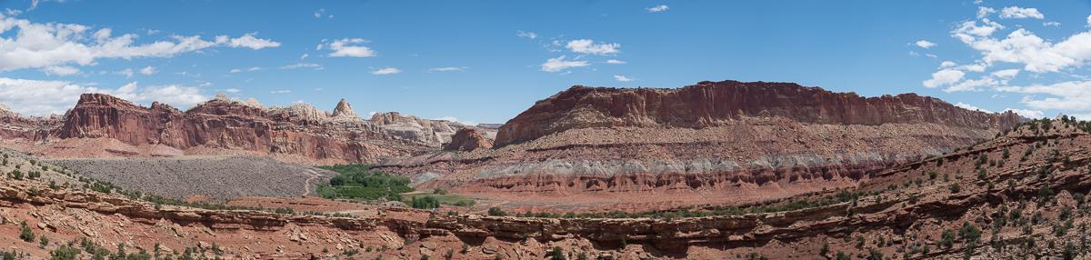
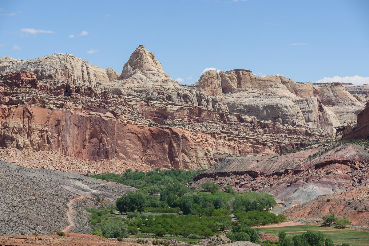
Capitol Reef National Park - Utah
What to do if you have little time : the Viewpoints
The proximity of major national parks such as Zion, Bryce, Arches and Canyonlands, probably allows Capitol Reef to have a little less attendance. It is well worth the detour.
It is very hot in summer (between 95° and 104°) and very dry.
Restaurant not to be missed: the Rim Rock Patio, for its "western spaggetti" and the view on Capitol Reef.
Like all national parks, a contribution is requested at the entrance to the park. It is $20 per vehicle. If you have the "America the beautiful" pass, access is included.
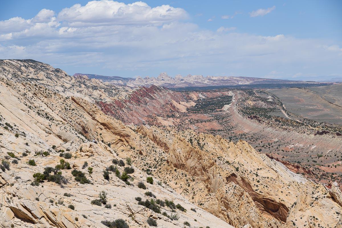
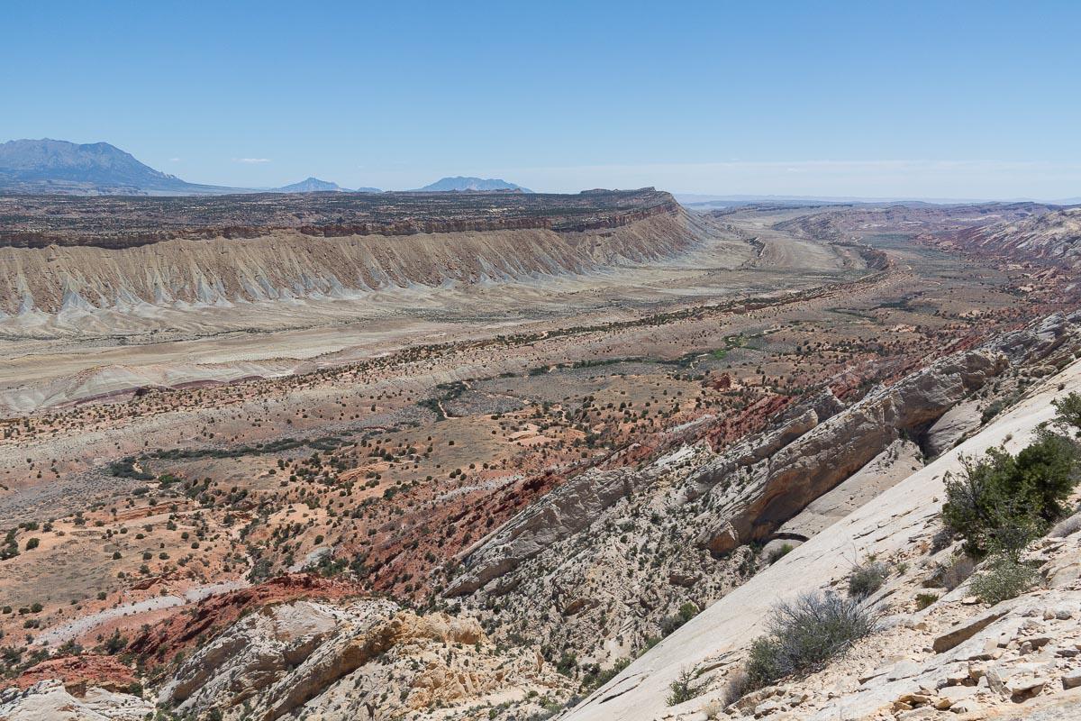
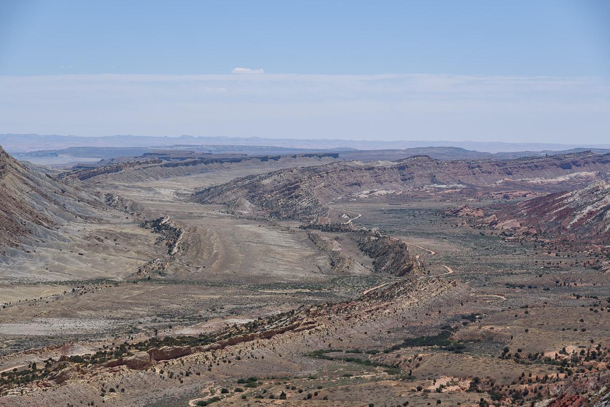
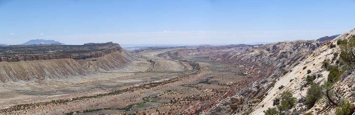
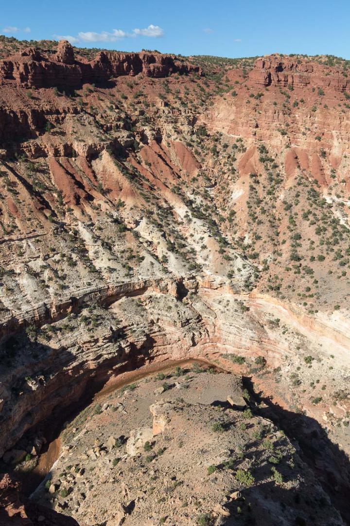
Strike Valley Overlook
![]()
 3 miles one way - 1 hour
![]() 4 to 5 hours
4 to 5 hours
![]()
$15 per vehicle

GPS tracks to download
![]()
GPS trail to download
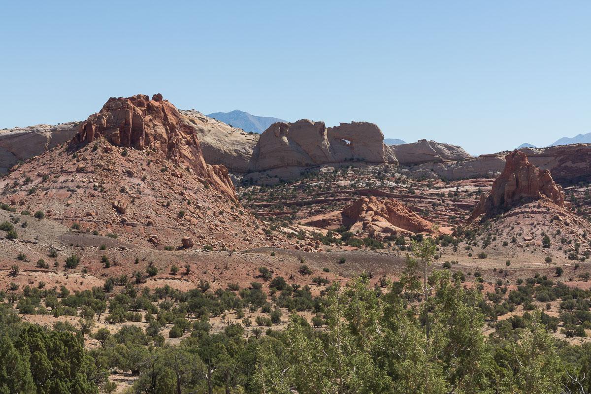
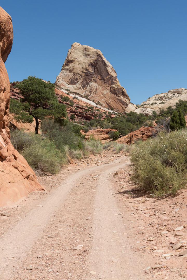
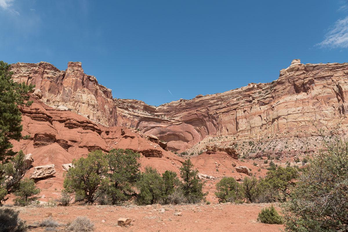
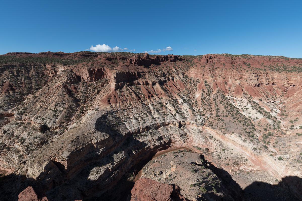
Strike Valley Overlook gives a spectacular view of the Waterpocket Fold, a crease in the earth's crust. This viewpoint is located in the southern part of Capitol Reef well away from the main park area. It's worth a visit, despite the 33 miles (one-way) track from Boulder. Because of its remoteness, there are few visitors.
There are two options to go to the viewpoint, depending on your vehicle :
Access : from Boulder on Hwy 12, take the Burr Trail Road for 32.7 miles then turn left on the Upper Muley Twist Road for 0.4 mile to the 1st parking lot. Continue for 2.5 miles if your vehicle allows.
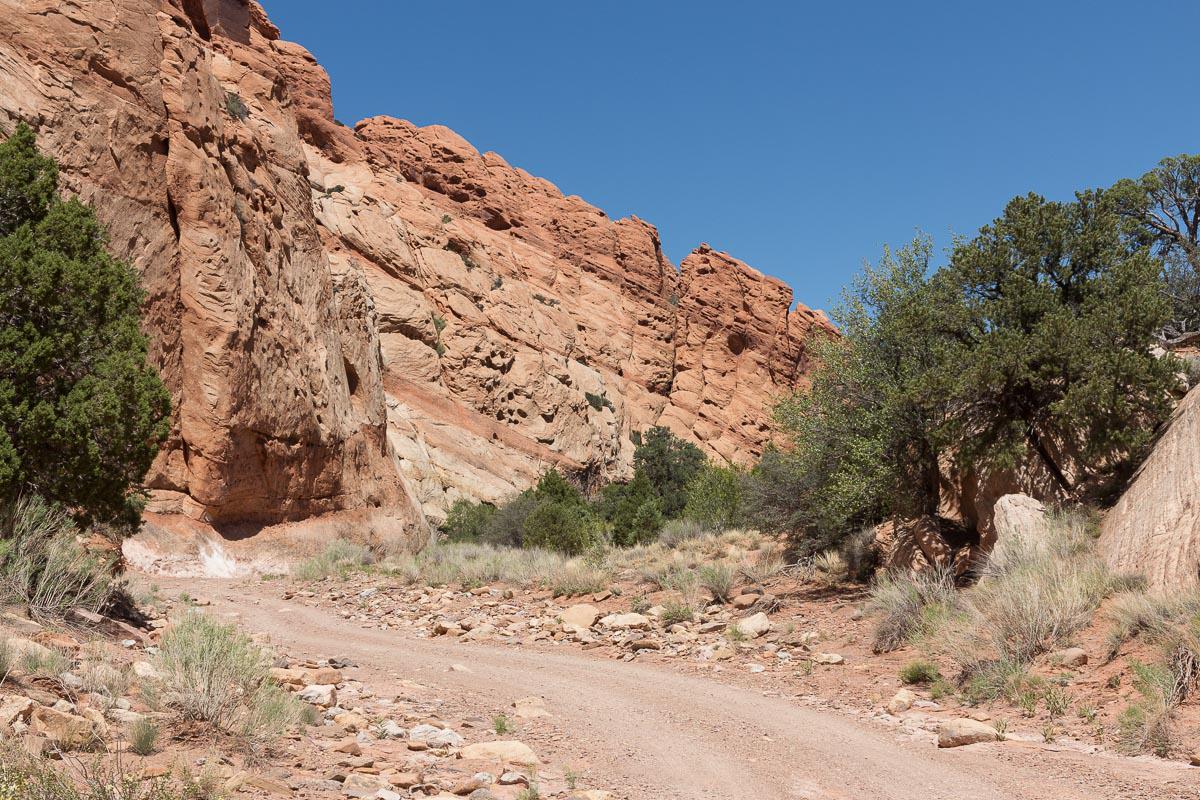
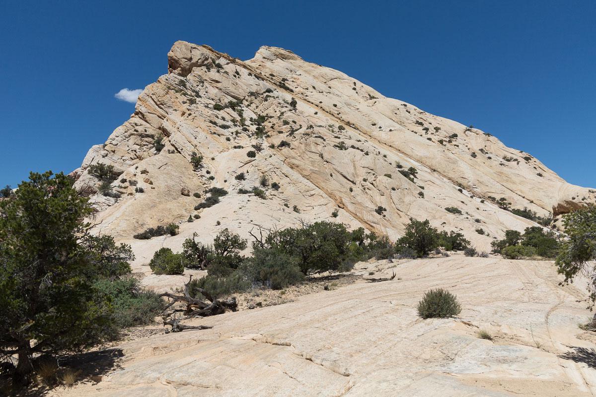


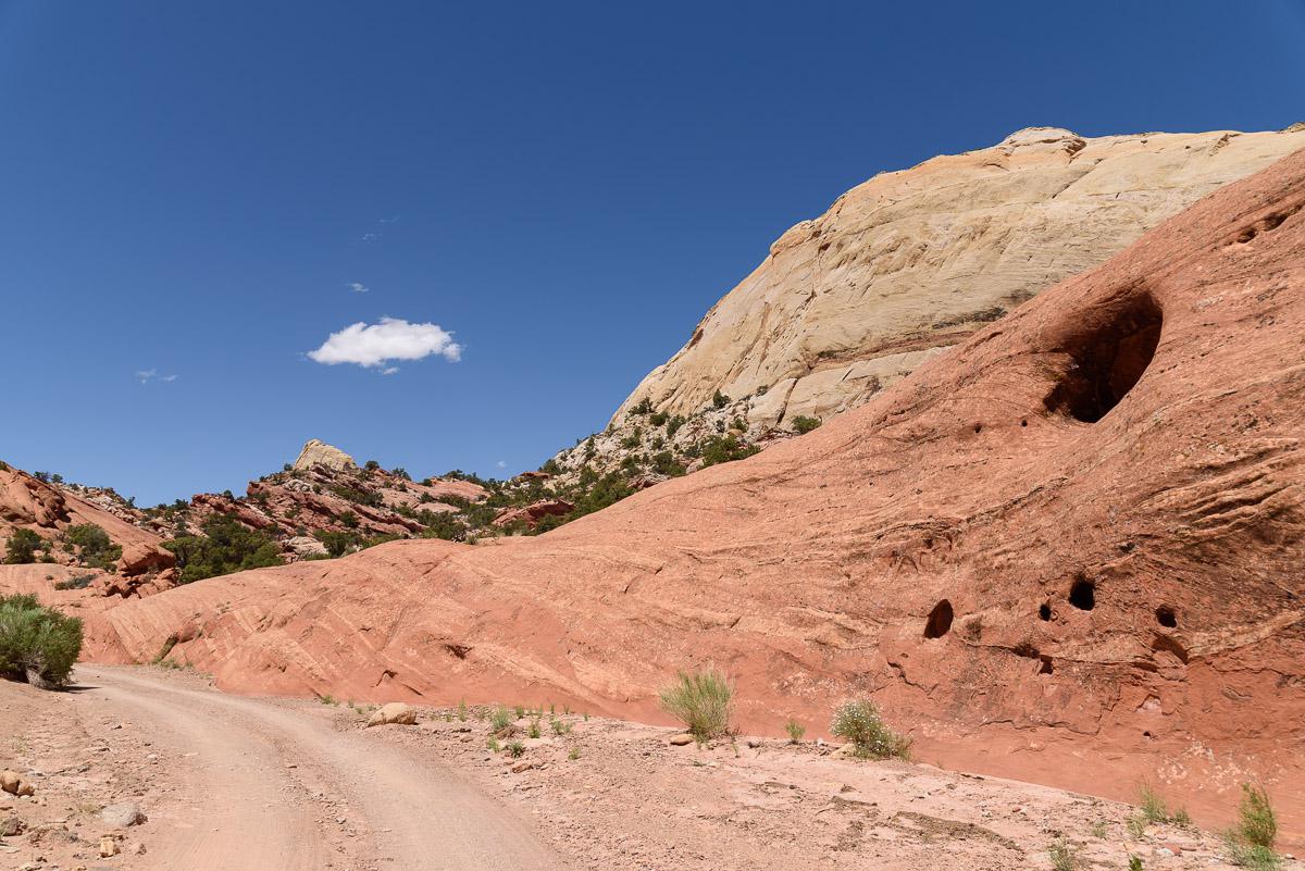
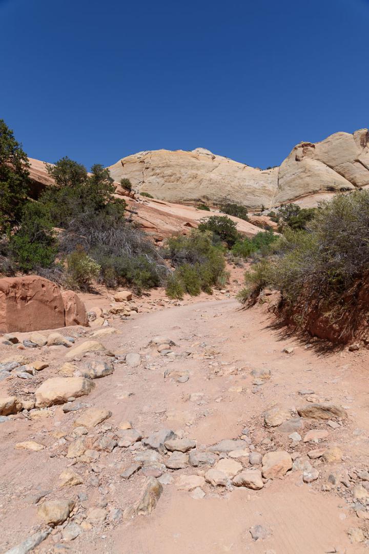
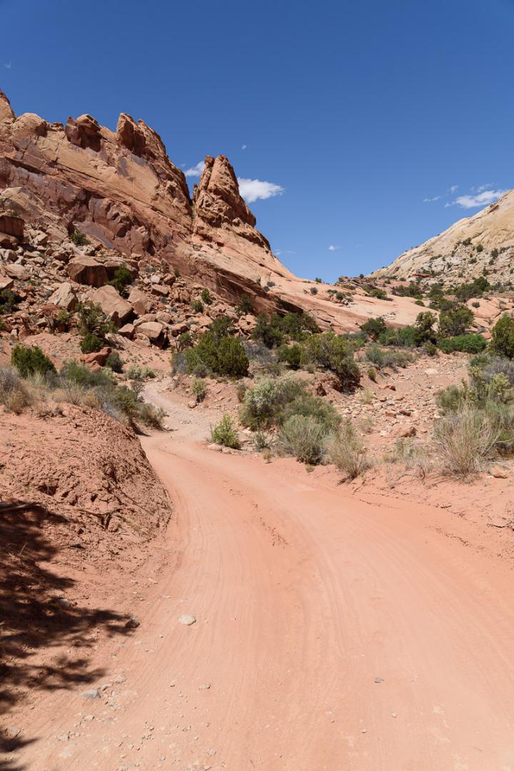
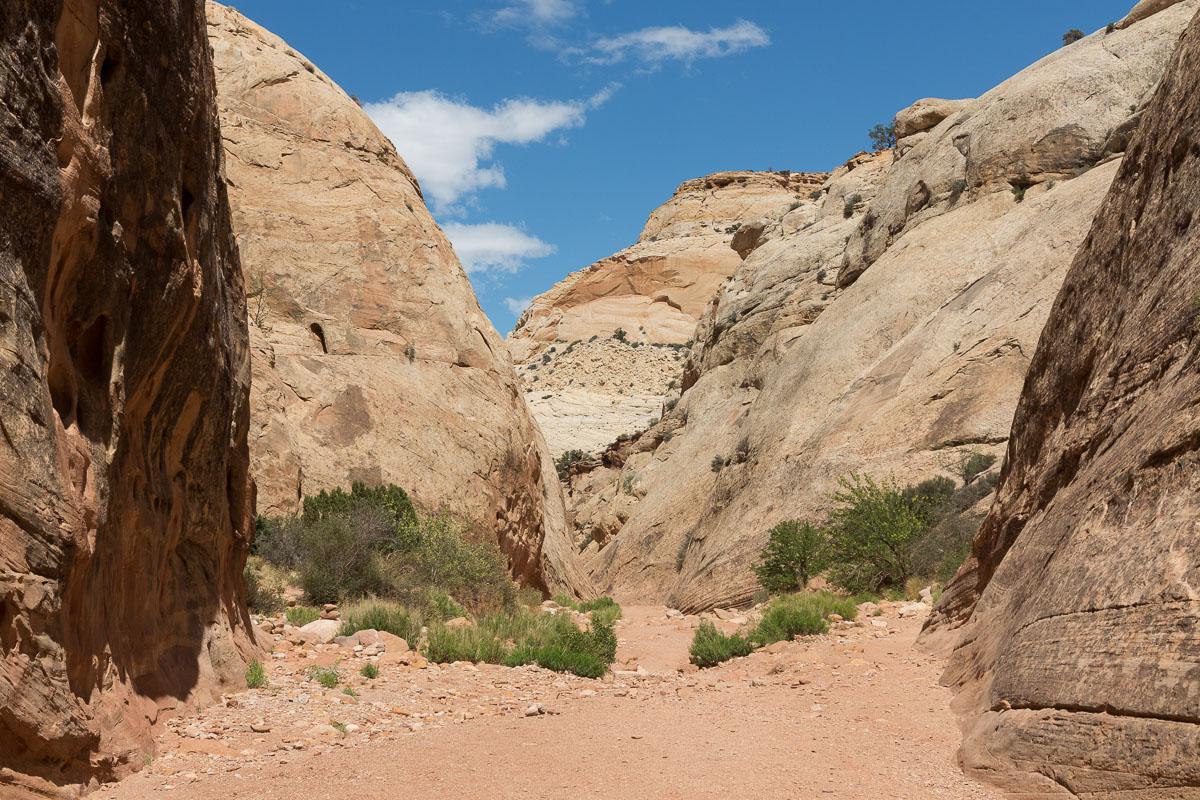
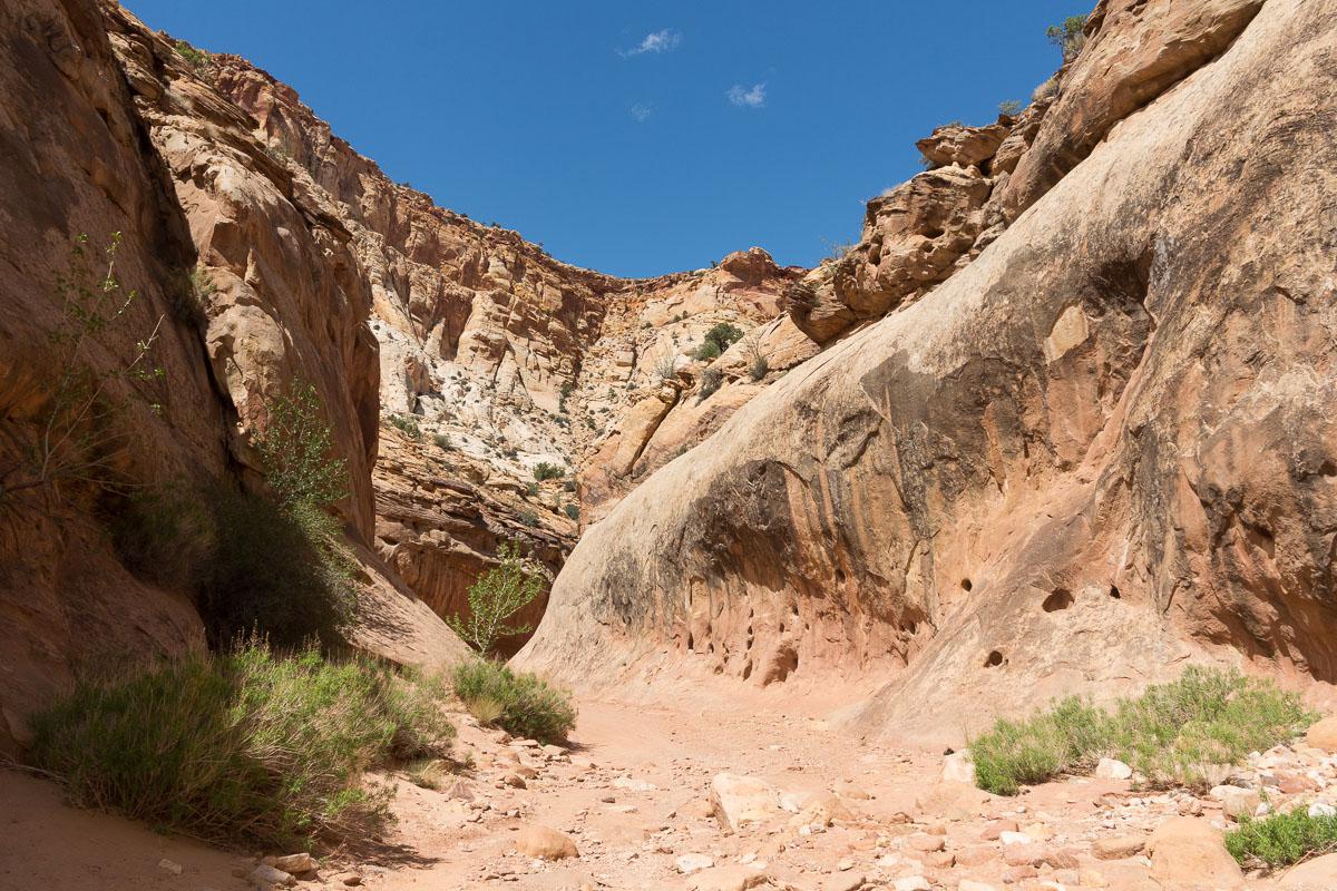
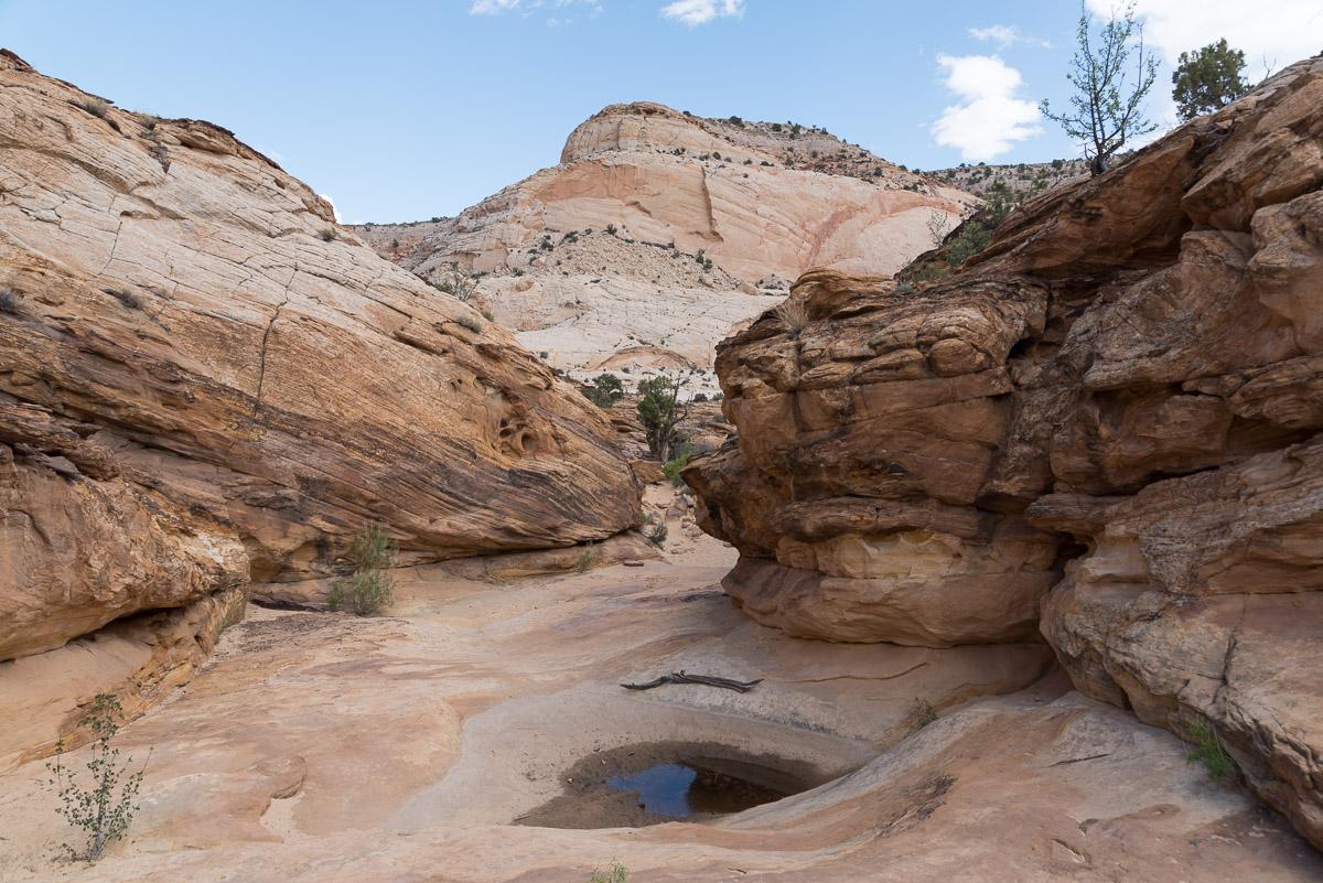
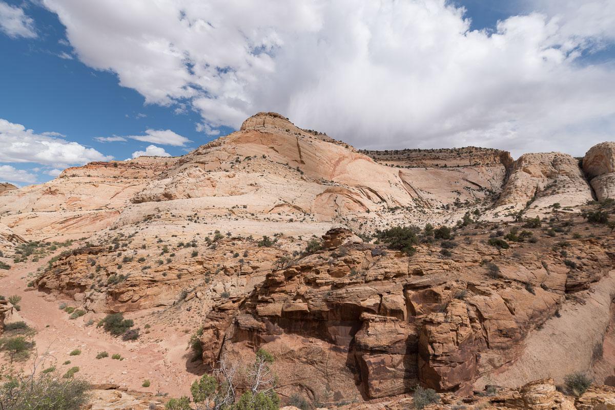
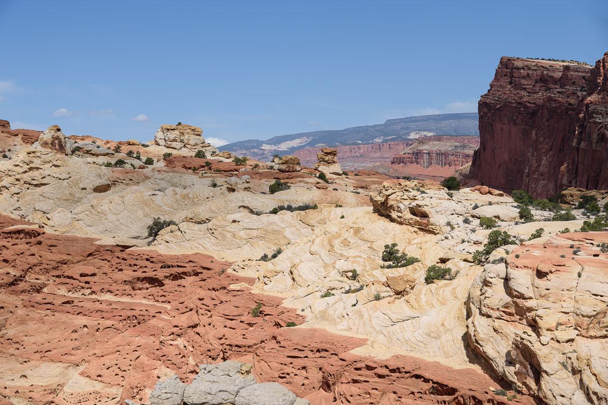
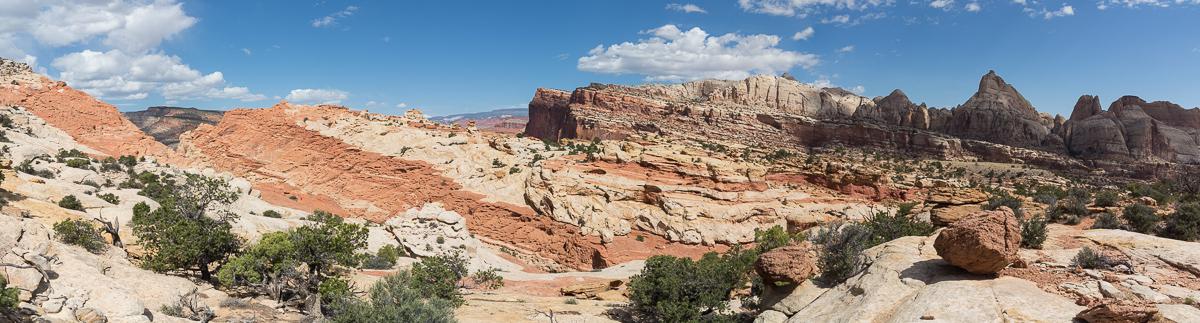
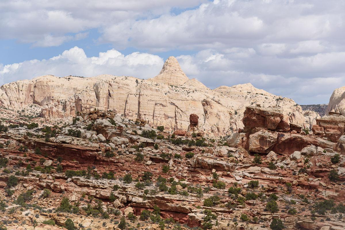
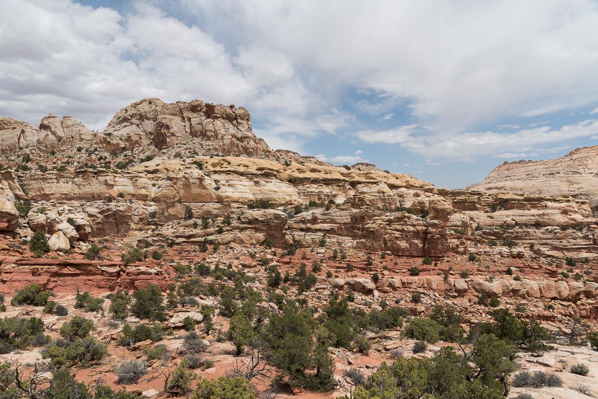
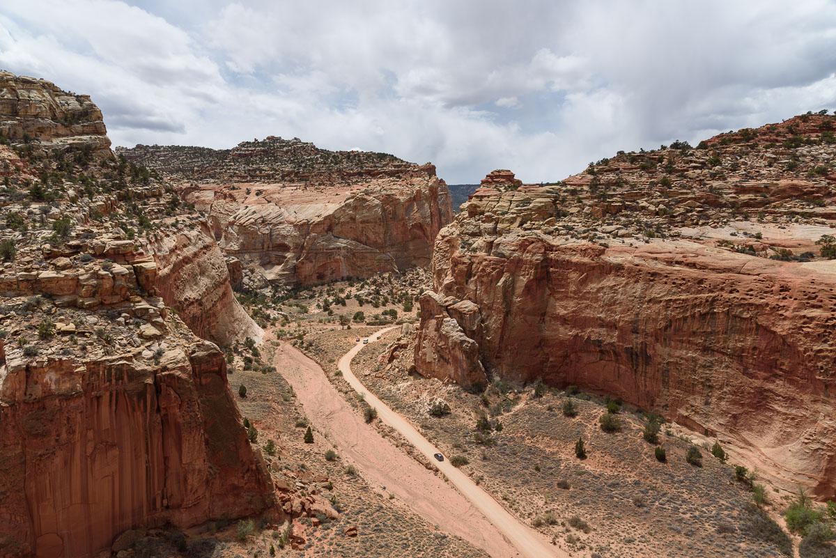
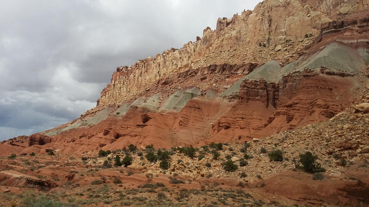
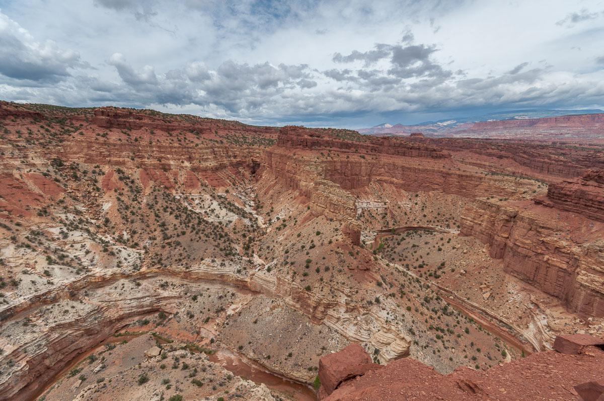
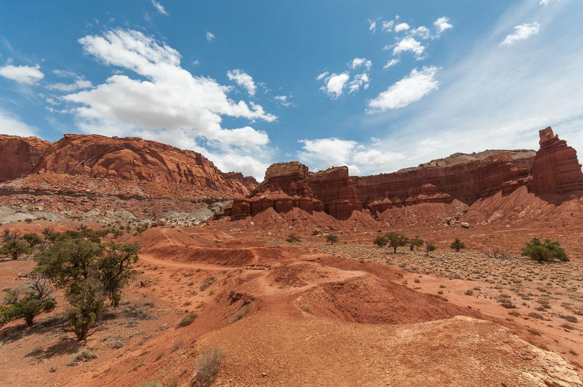
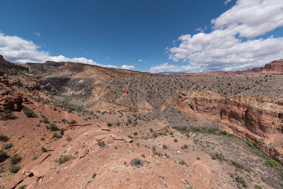
Scenic Drive & Capitol Gorge
![]()
1,4 miles one way - 30 min
![]() 1 to 2 hours
1 to 2 hours
![]()
$15 per vehicle
![]()
GPS trail to download
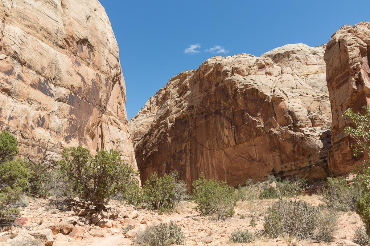
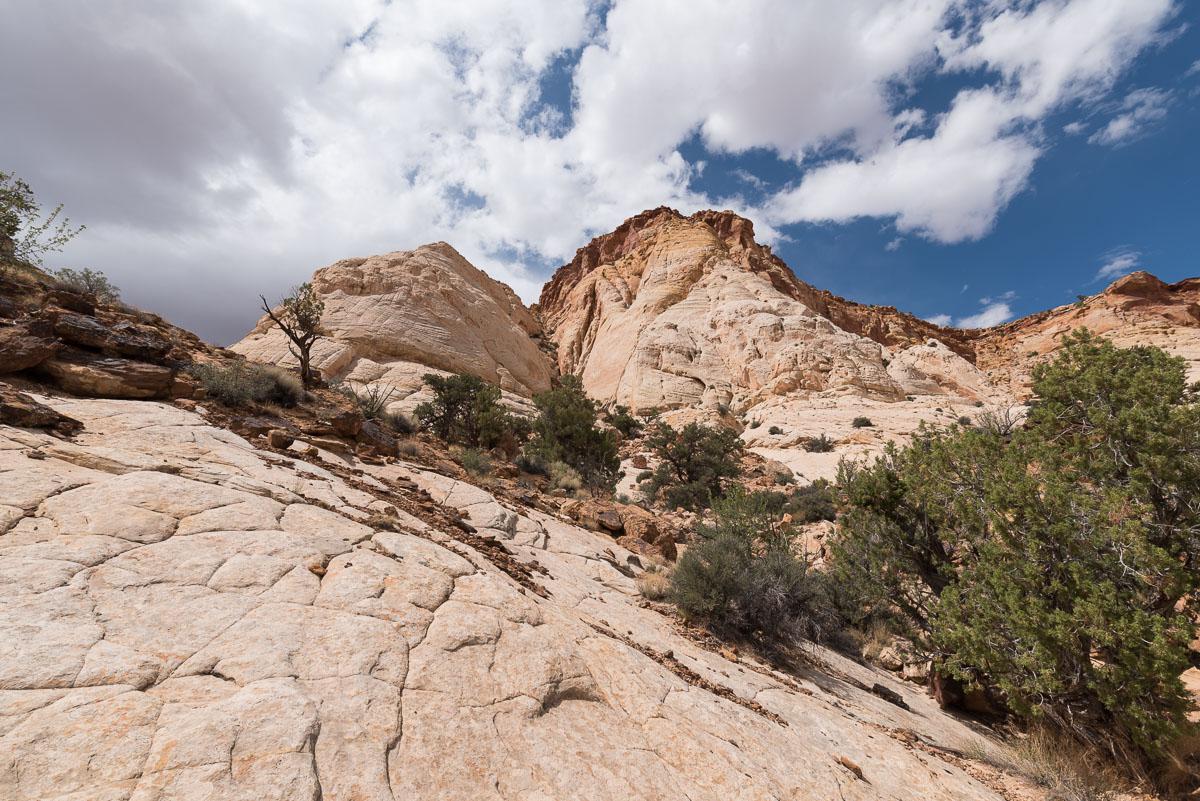
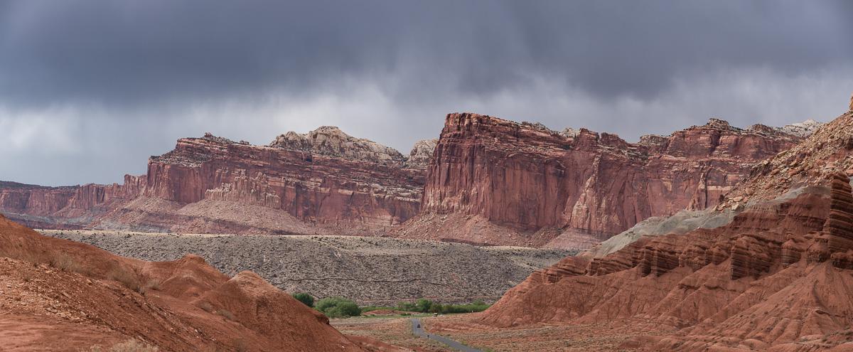
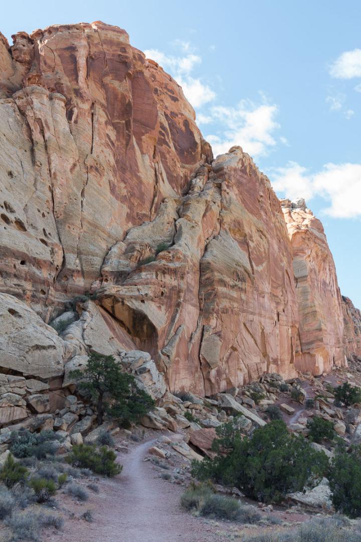
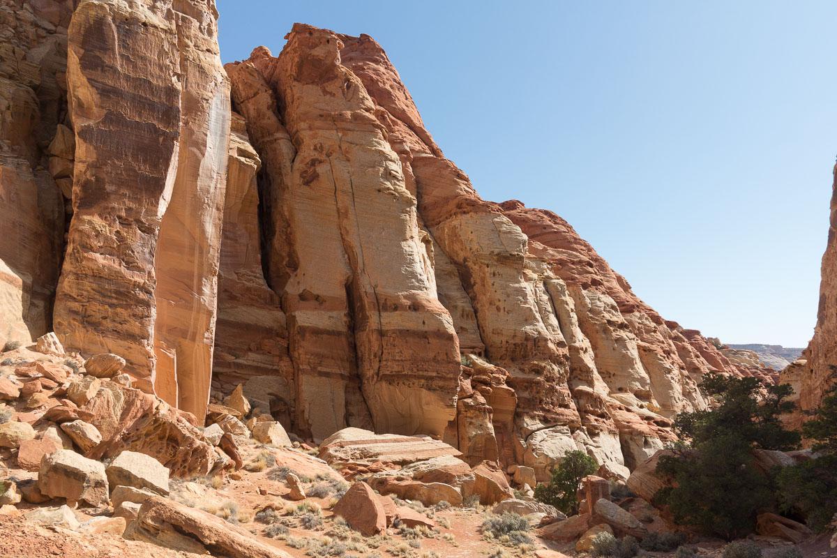
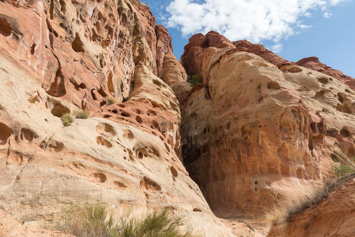
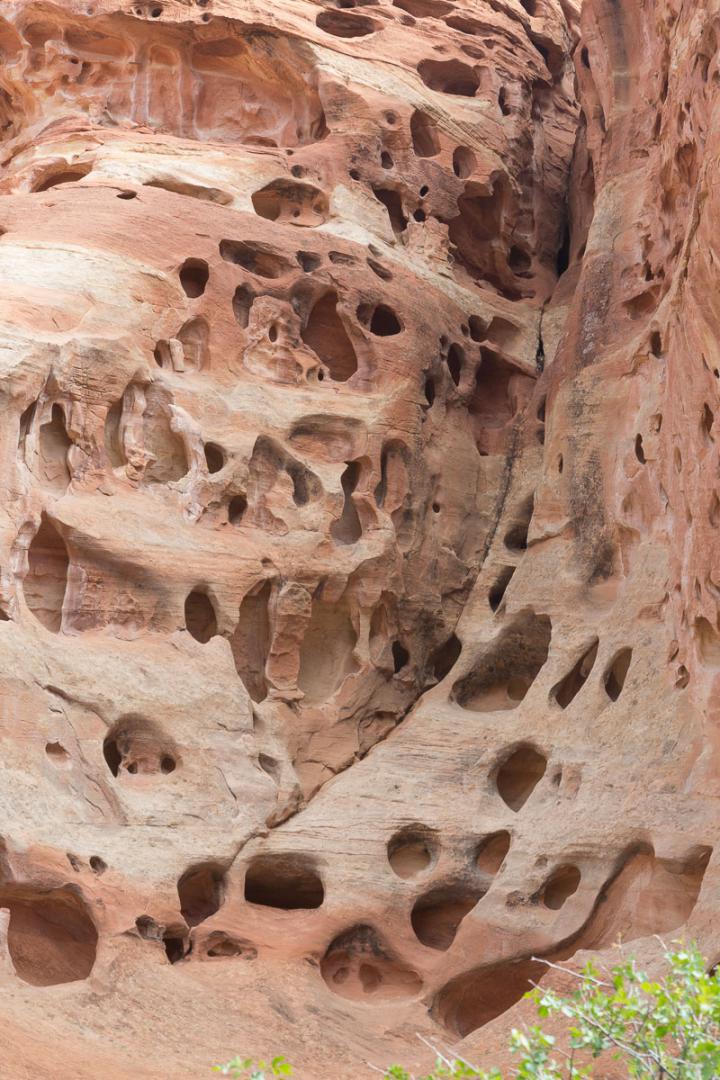
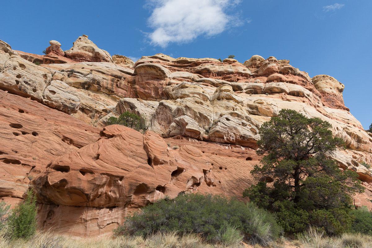
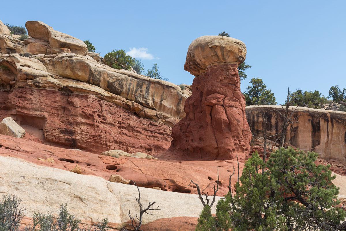
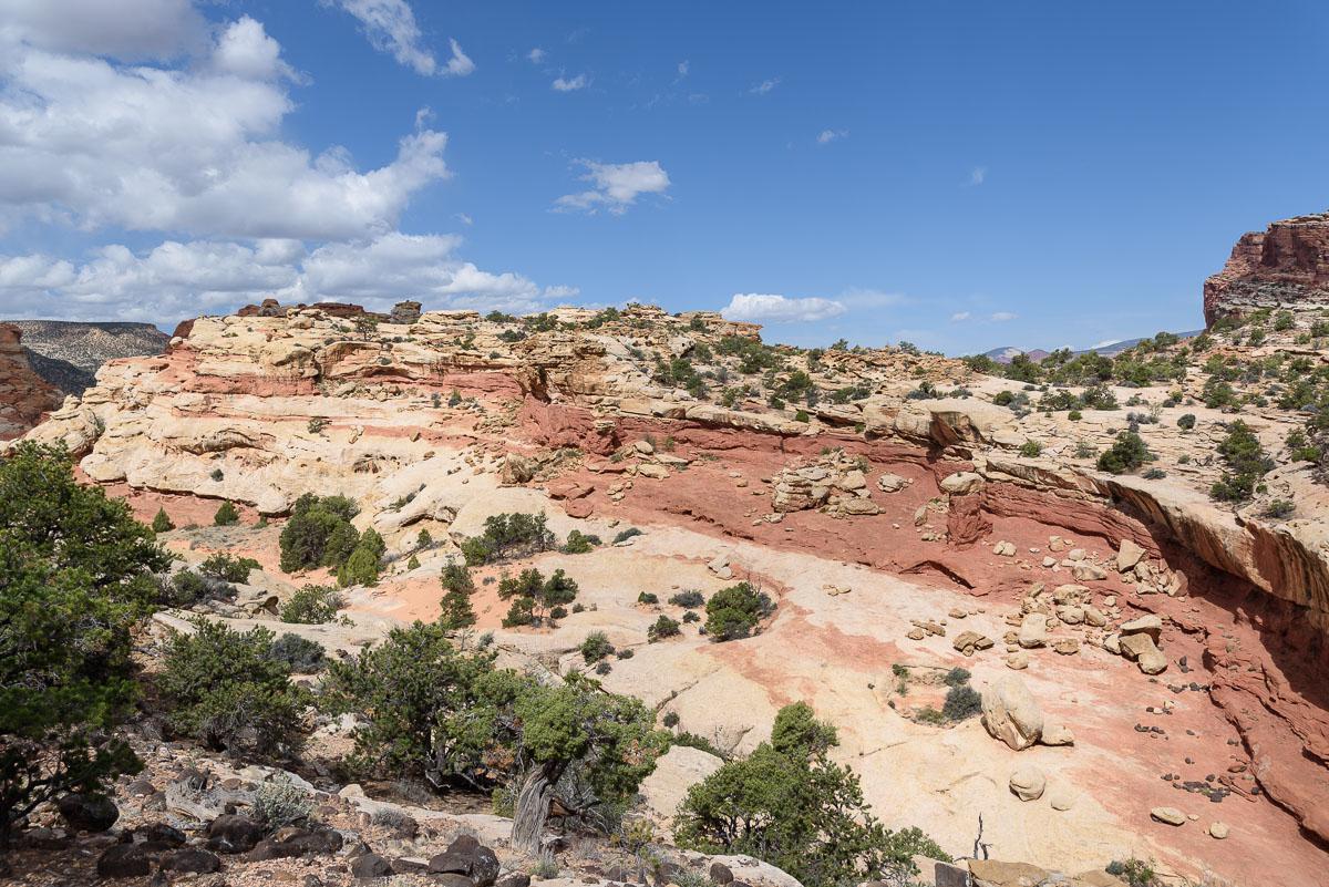
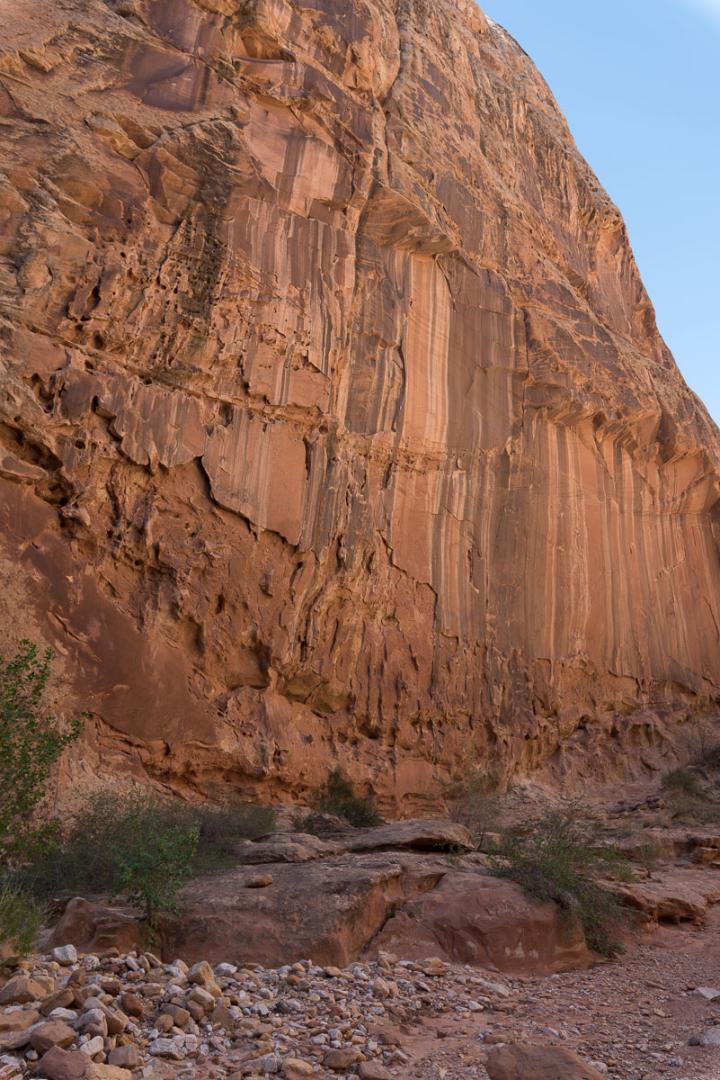
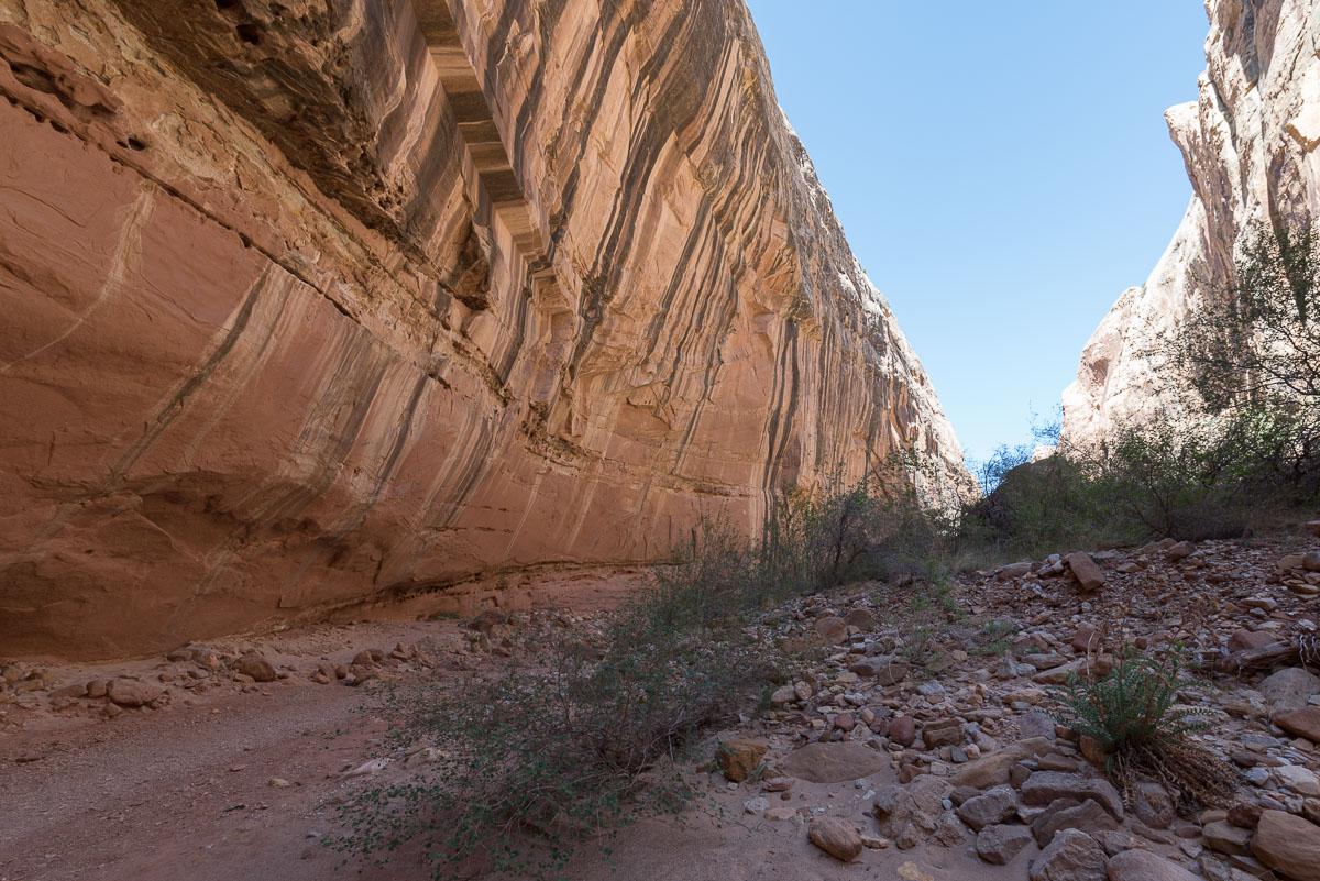
The Scenic Drive is the road not to be missed in Capitol Reef. It crosses colorful badlands that you can photograph thanks to the car parks that line the road : Danish Hill, Slickrock Divide ... The Scenic Drive leads to Capitol Gorge Road in 6.7 miles. The road then turns into a track for 2.4 miles to the Capitol Gorge Trail car park.
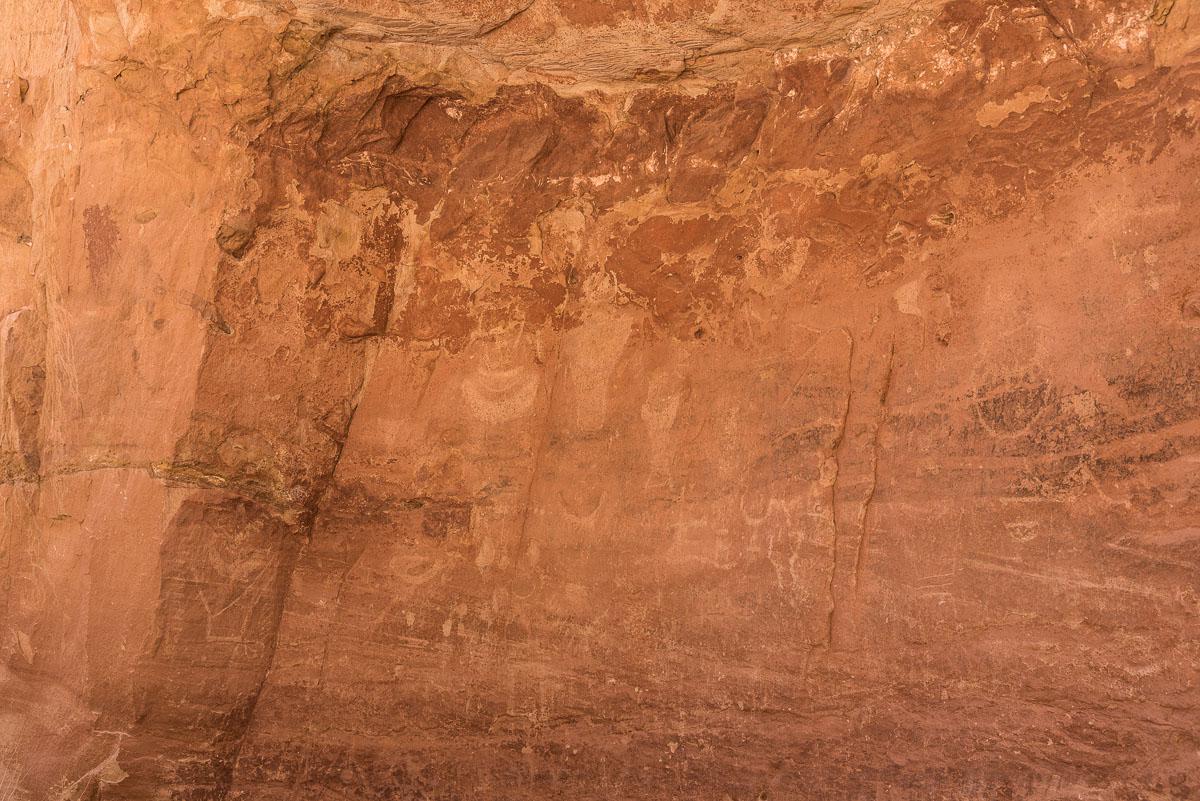
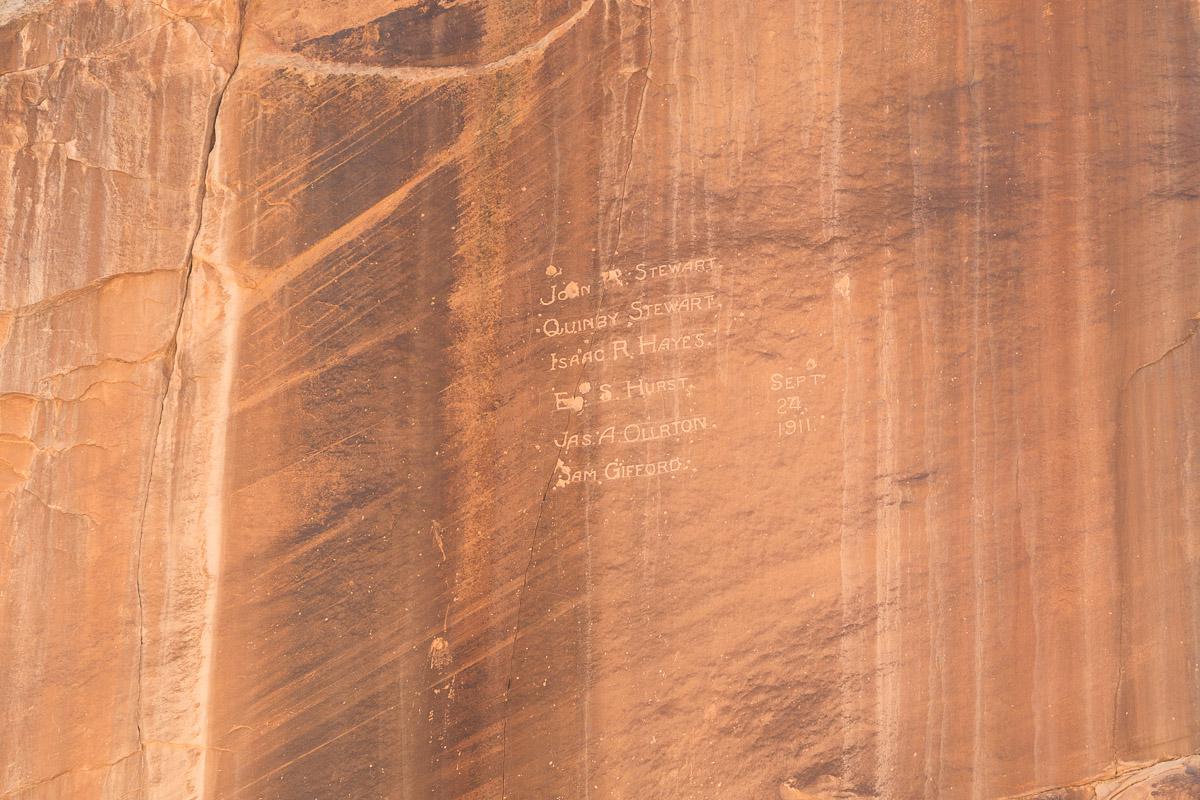
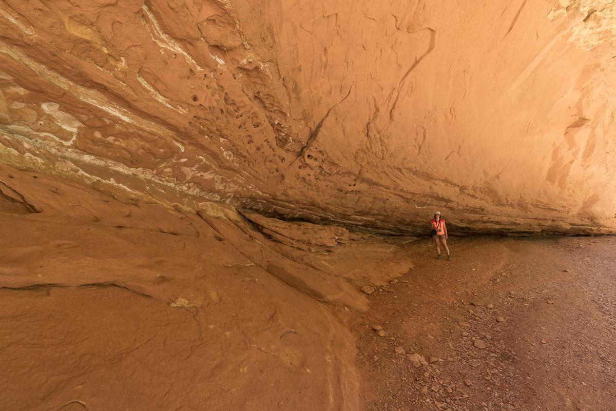
Several hikes are possible from this car park, including The Tanks which is 2,8 miles round trip. The hike begins in Capitol Gorge then climbs to The Tanks which are waterpockets. On the rocky walls of the gorge, one can see, engraved in the rock, the names of the first pioneers to have explored this site.
Access : the Scenic Drive begins at the Capitol Reef Visitors Center.

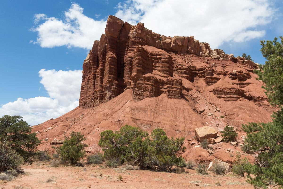

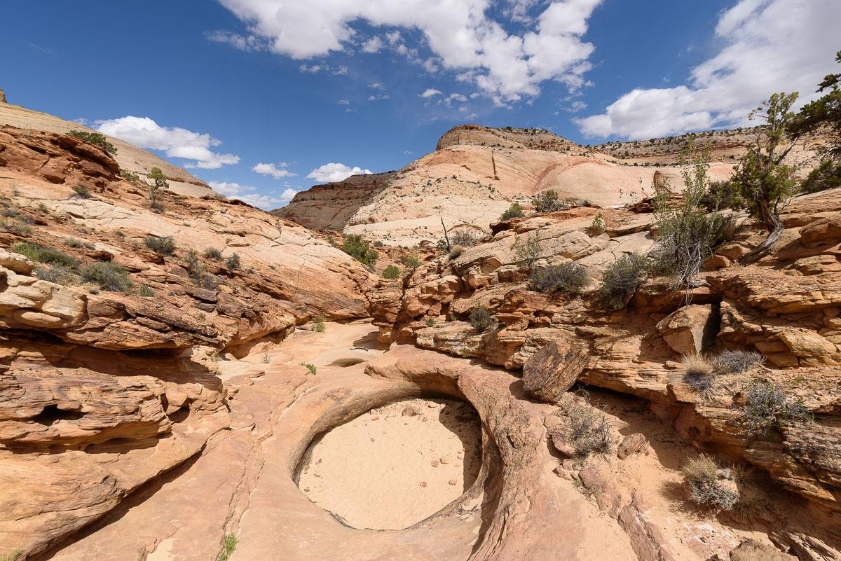
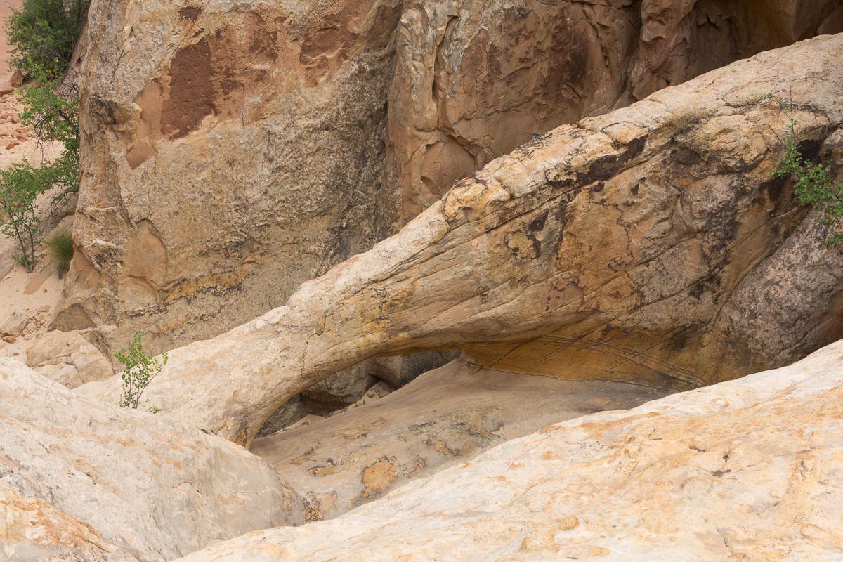
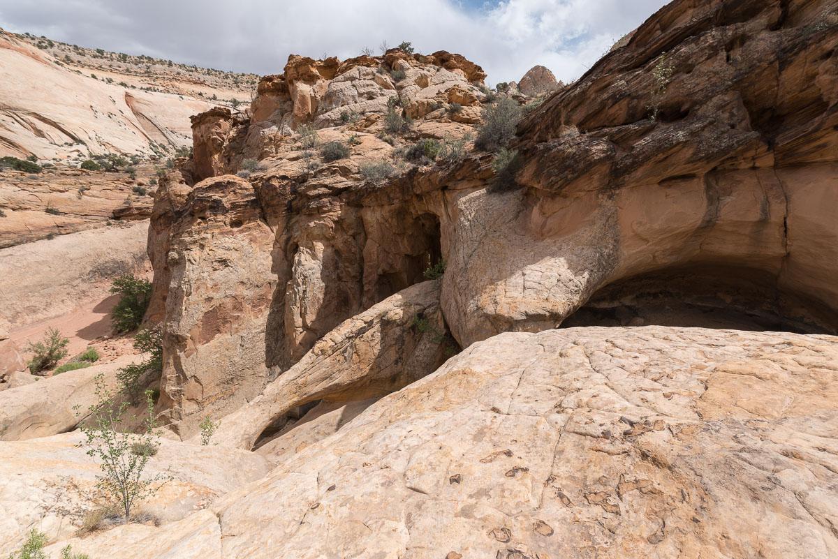

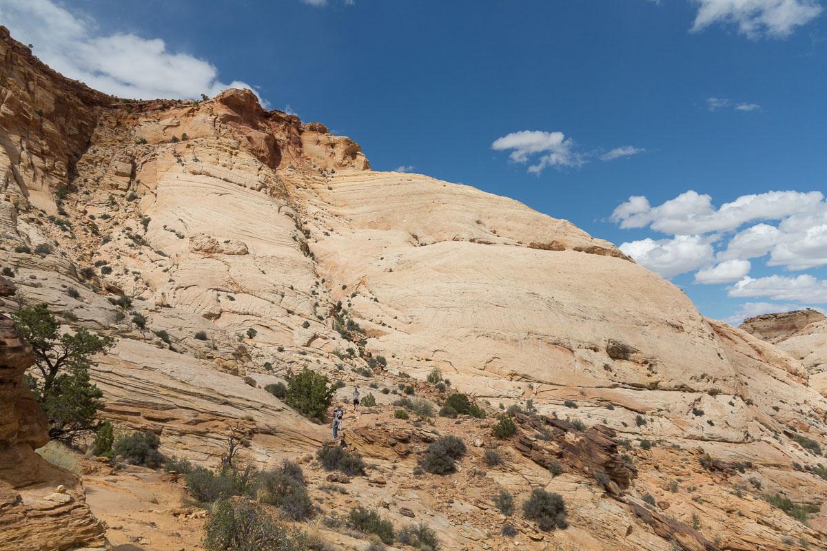
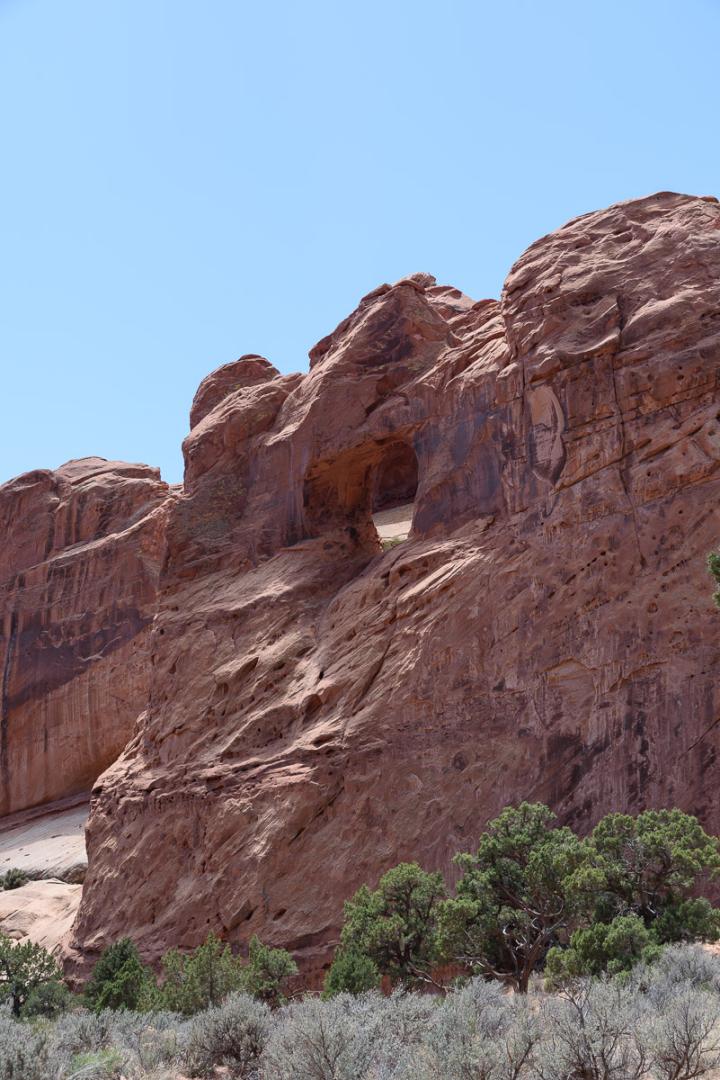
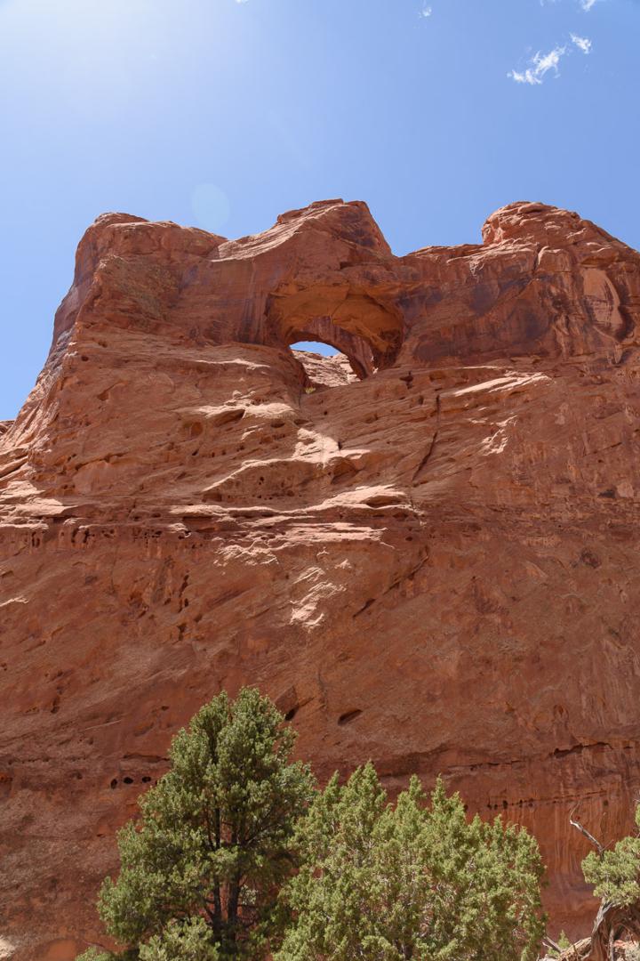
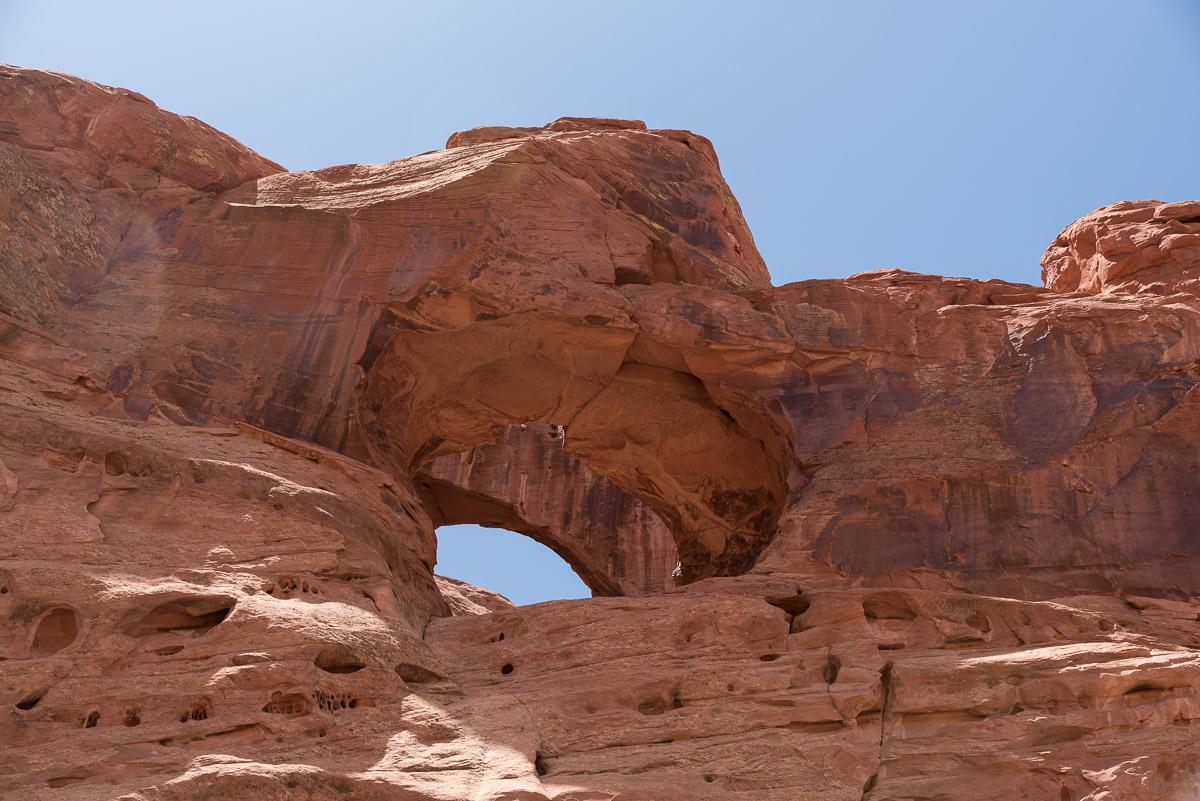
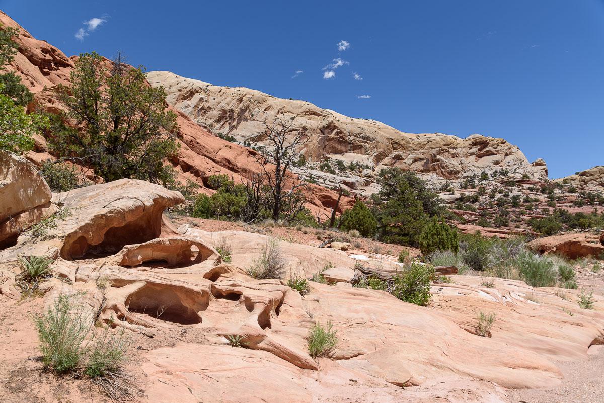
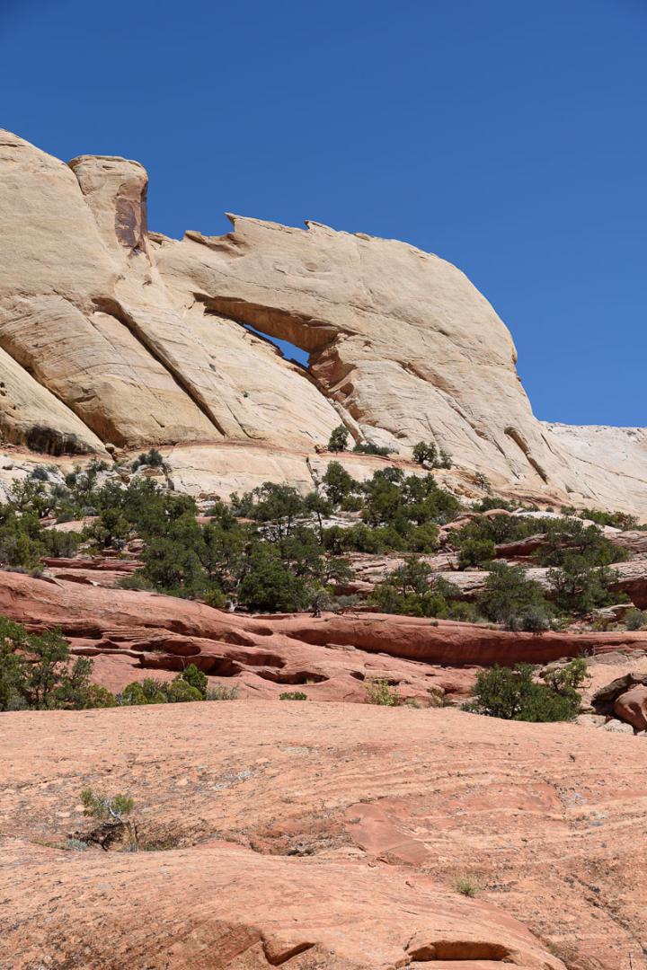
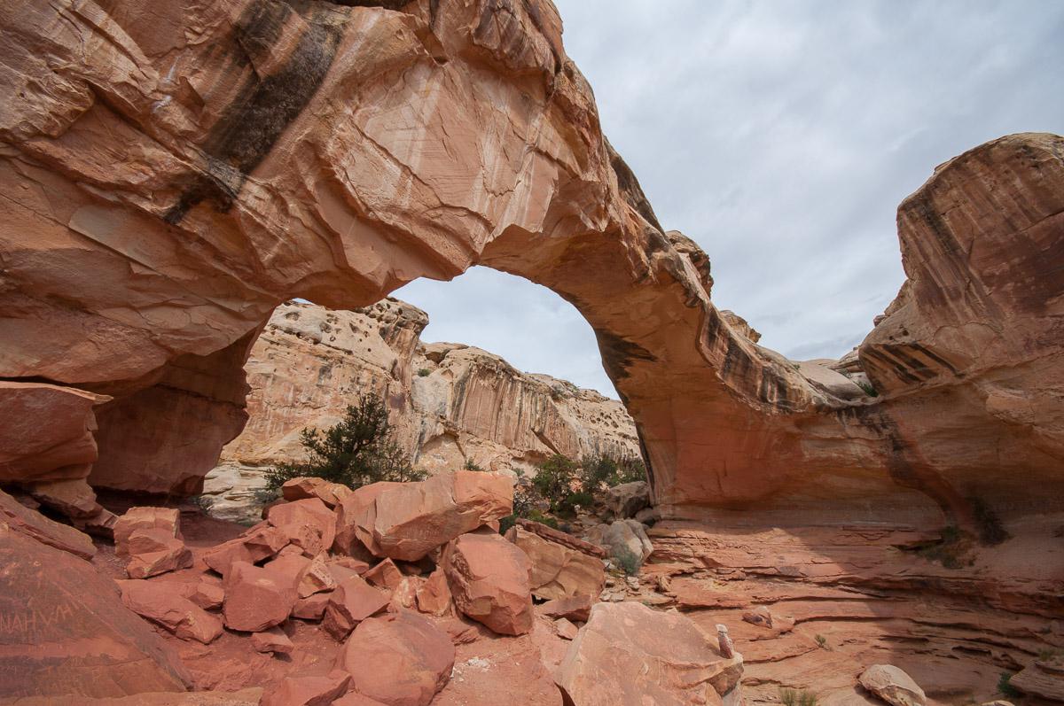
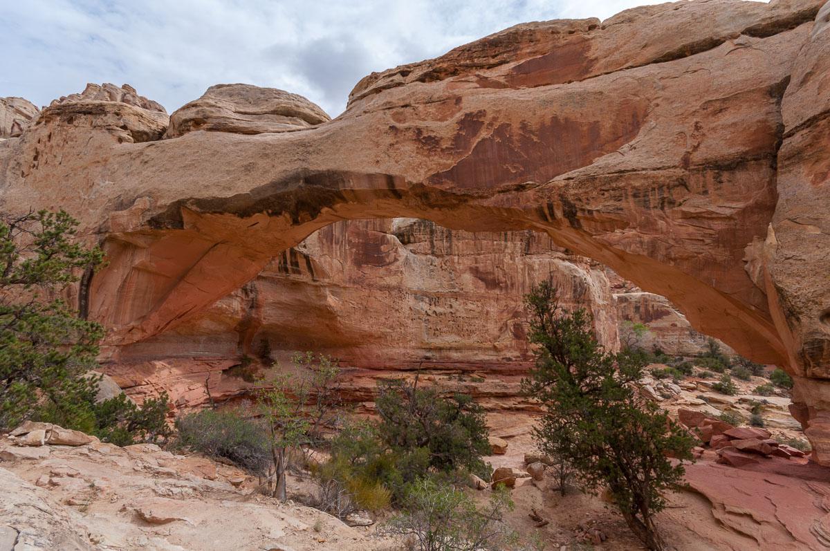
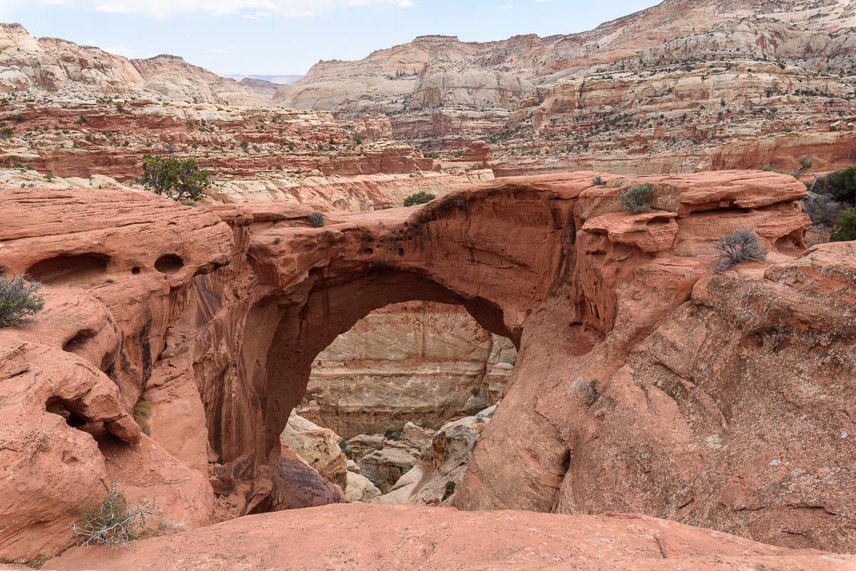
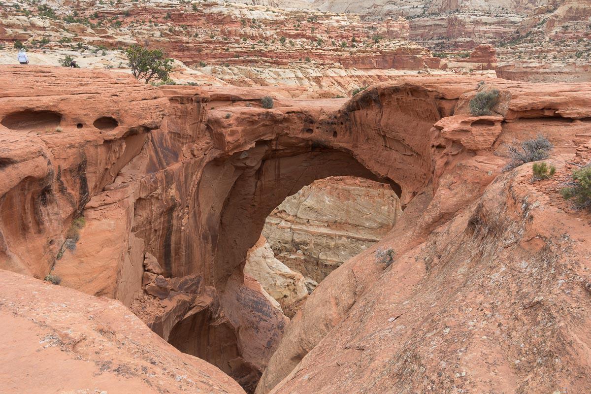
Hickman Bridge
![]()
1,2 miles one way
![]() 1 to 2 hours
1 to 2 hours
![]()
$15 per vehicle
Walk of about 2,5 miles roundtrip that leads to a very beautiful natural bridge.
Access : on highway 24.

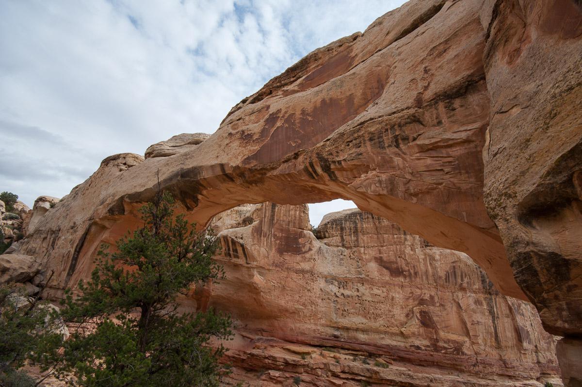
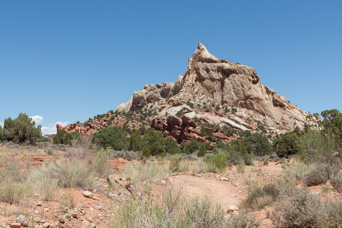
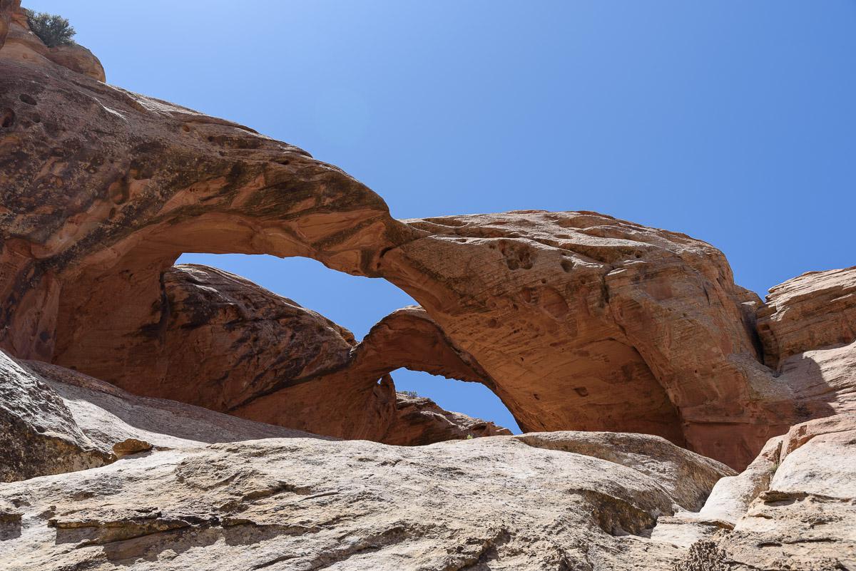
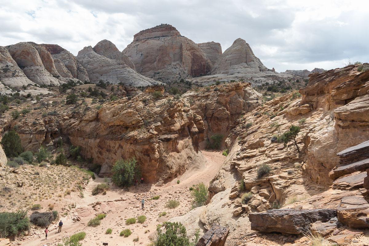
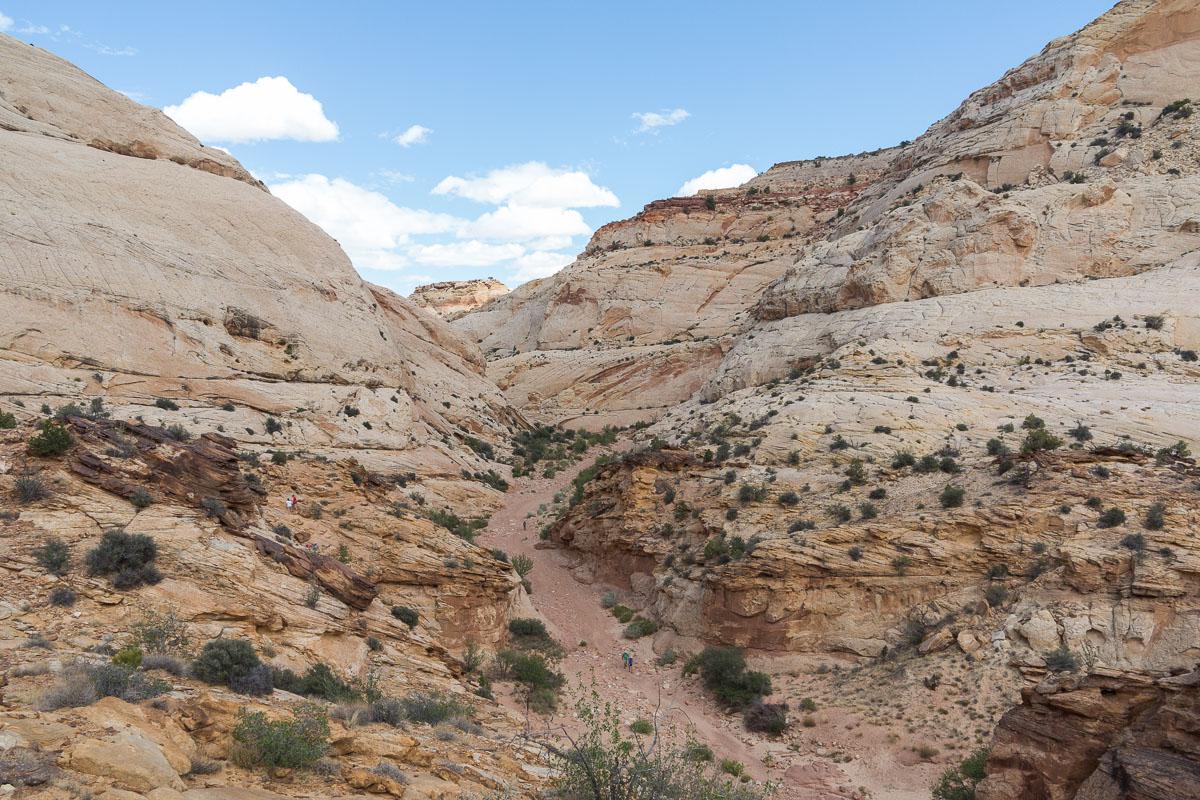
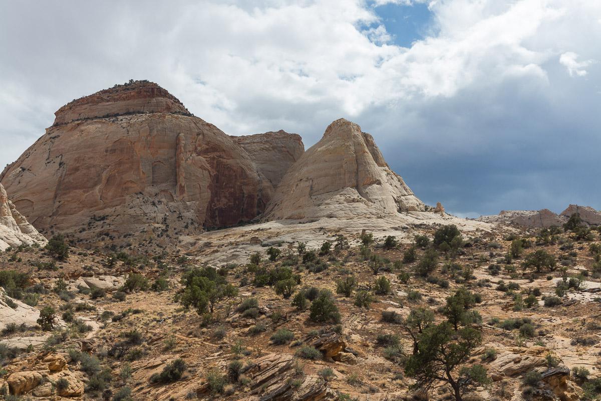
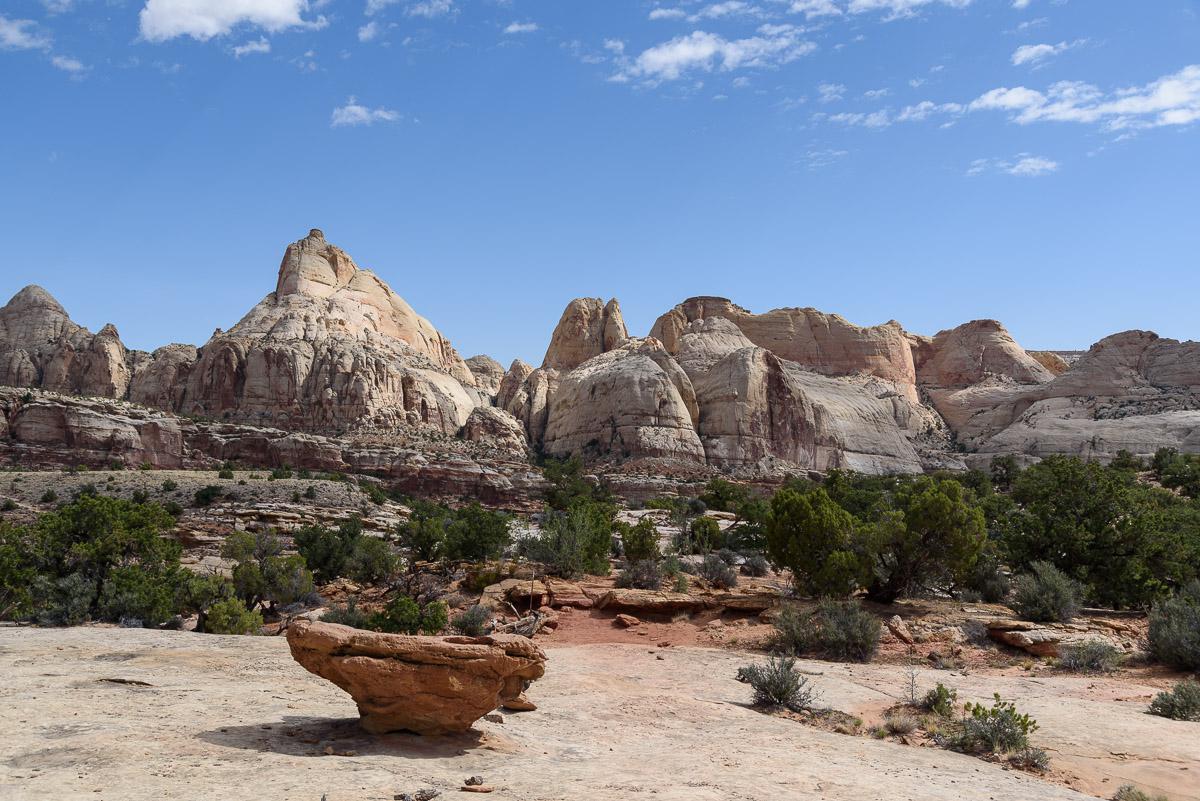
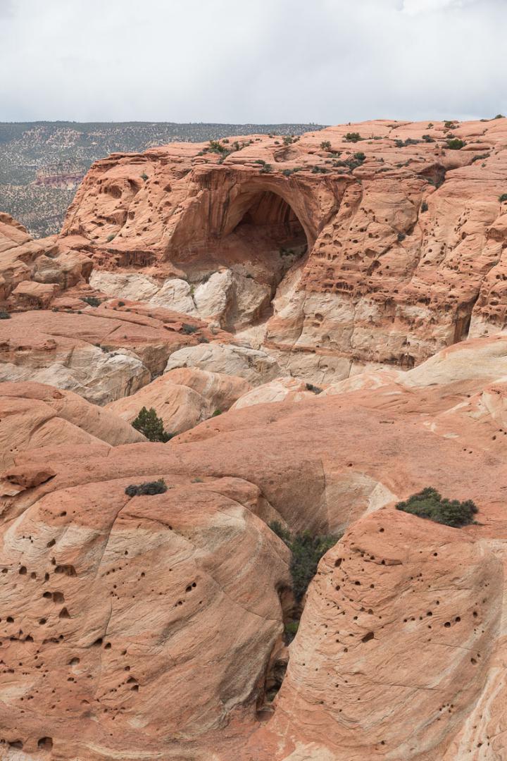
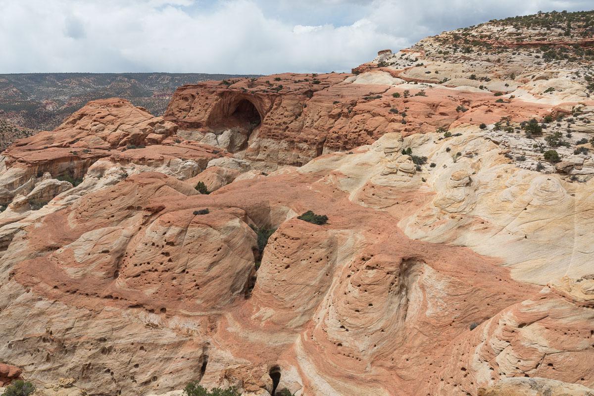
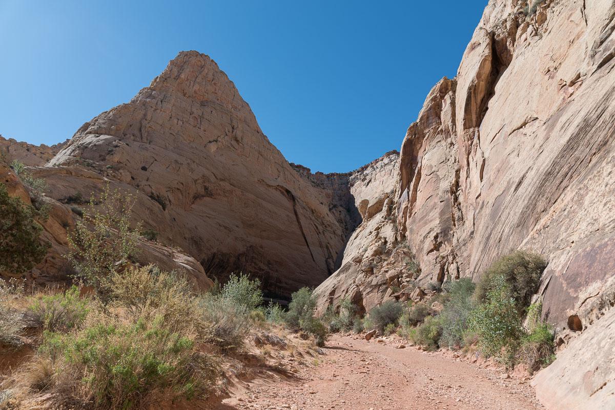
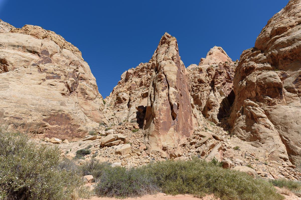
Cohab Canyon - Frying Pan Trail - Cassidy Arch Trail - Grand Wash Road - Scenic Drive
![]()
Loop of 10,2 miles -
4 hours
![]() 4 to 5 hours
4 to 5 hours
![]()
$15 per vehicle
![]()
GPS trail to download
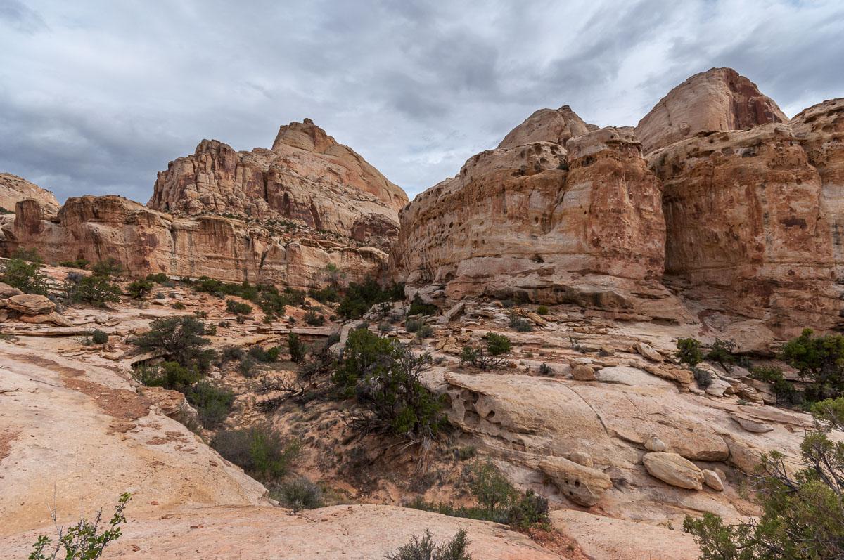
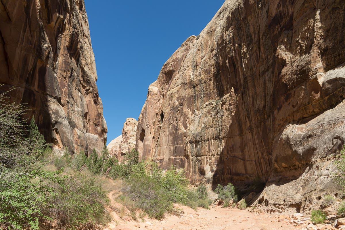
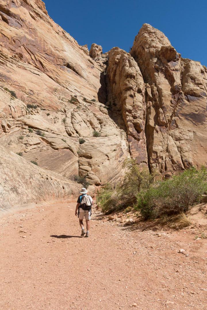
This loop hike combines several trails: Cohab Canyon Trail, Frying Pan Trail, Cassidy Arch Trail, Grand Wash Road and Scenic Drive. Apart from Frying Pan Trail, all other trails can be done independently of each other.
The loop is relatively long (10,2 miles) with a significant elevation (1900 feet) and is one of those hikes where you have a great chance to be almost alone, at least on some portions. We did not meet anyone on the Frying Pan Trail. The Cassidy Arch Trail is the busiest part.
Overall, it is a pretty good hike but it alternates between beautiful views and less interesting areas.
By opting for the loop, you must know that the return to the car park is on the scenic drive and that is really boring.
Access : park in the parking lot of the amphitheater in the Fruita area.


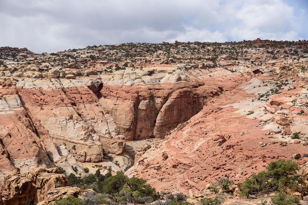


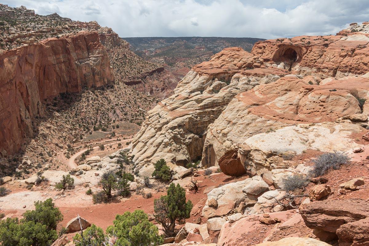

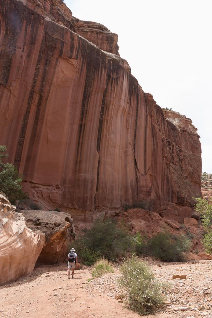

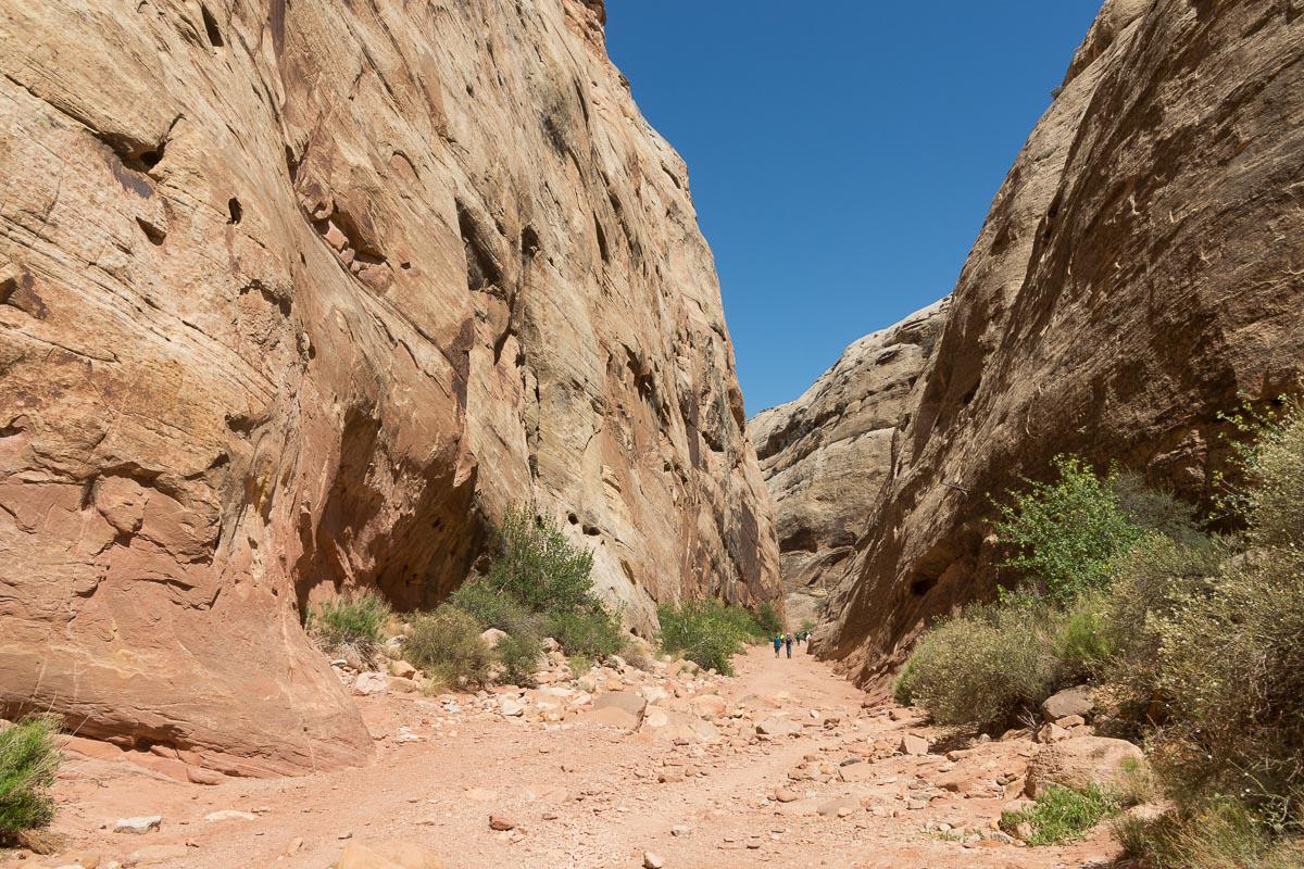
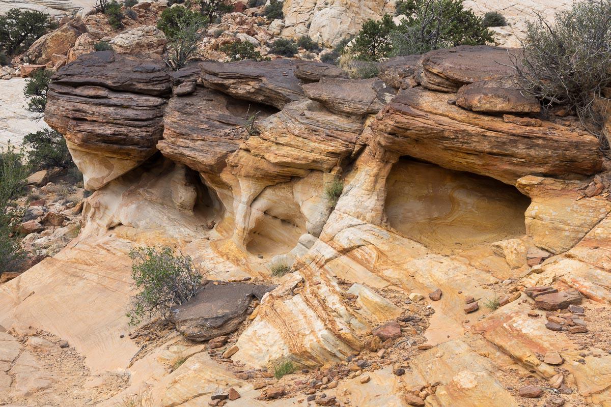
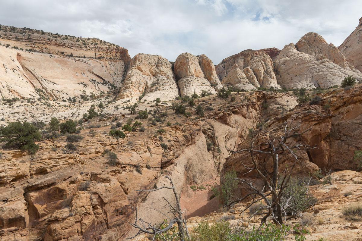
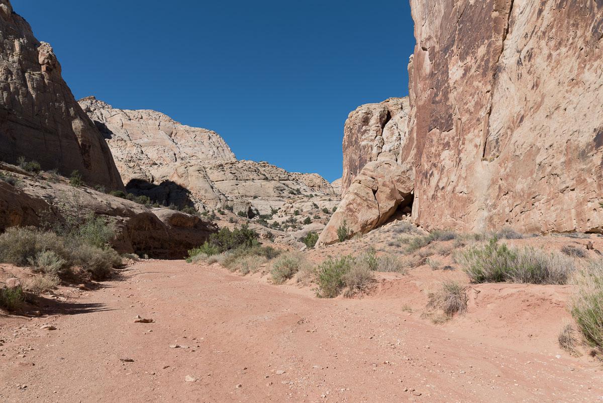
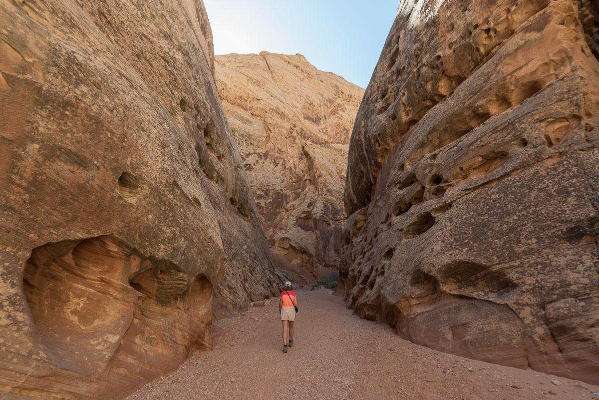
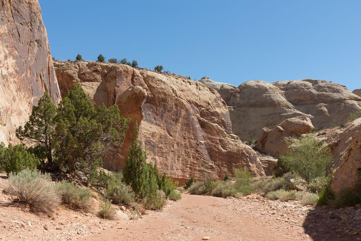
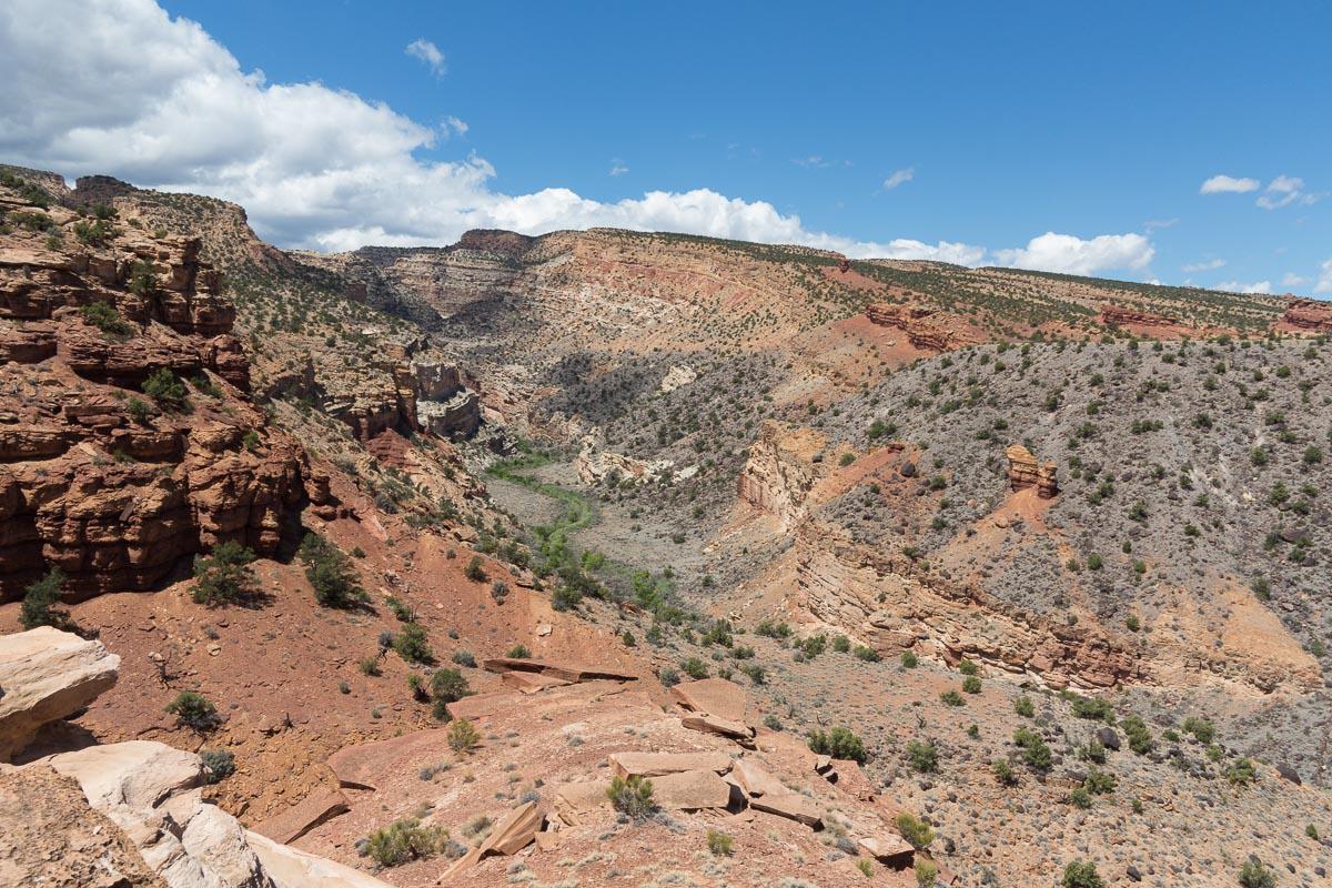
Grand Wash
![]()
2 miles one way - 40 min
![]() 1 to 2 hours
1 to 2 hours
![]()
$15 per vehicle
![]()
GPS trail to download
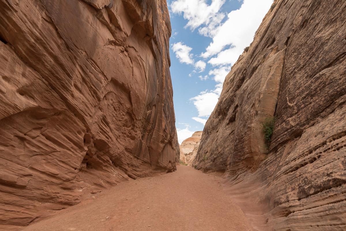
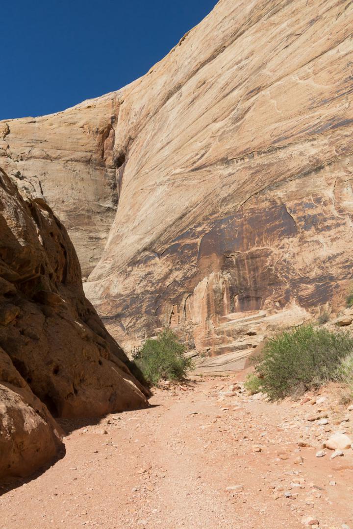
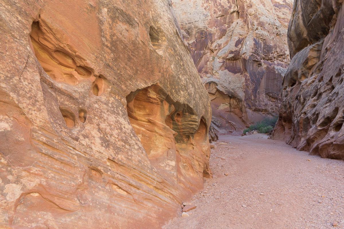
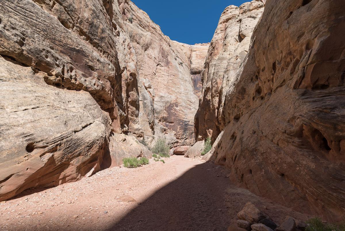
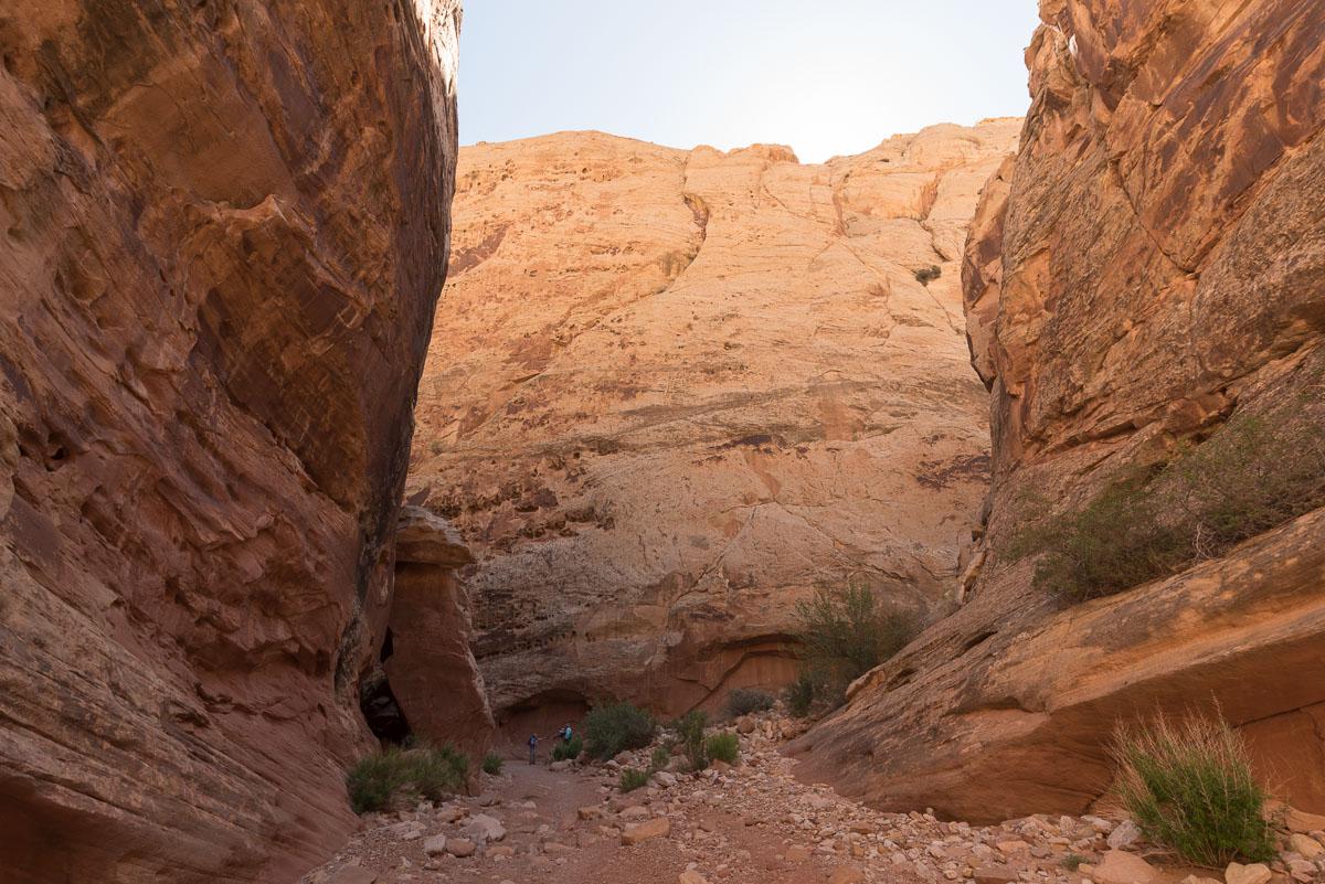
Grand Wash is a deep canyon with narrow portions of 2,2 miles from one end to the other. You can browse it wherever you want.
Access : 2 possibilities :
- from a parking on Route 24
- from Grand Wash Road parking lot accessed by Scenic Drive

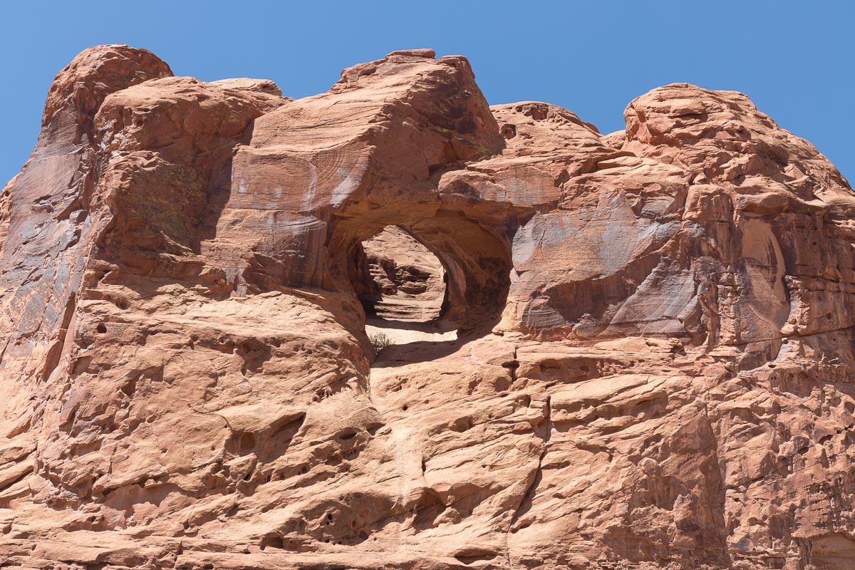
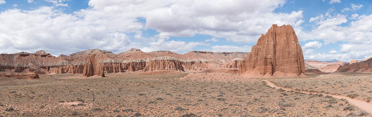
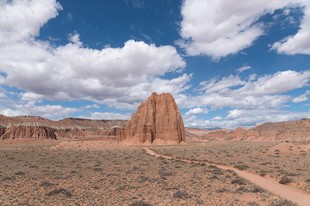
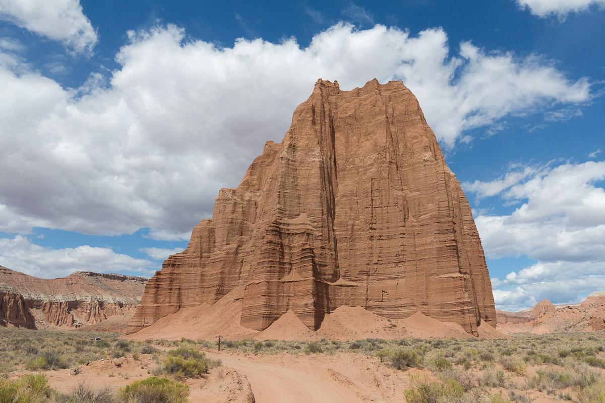
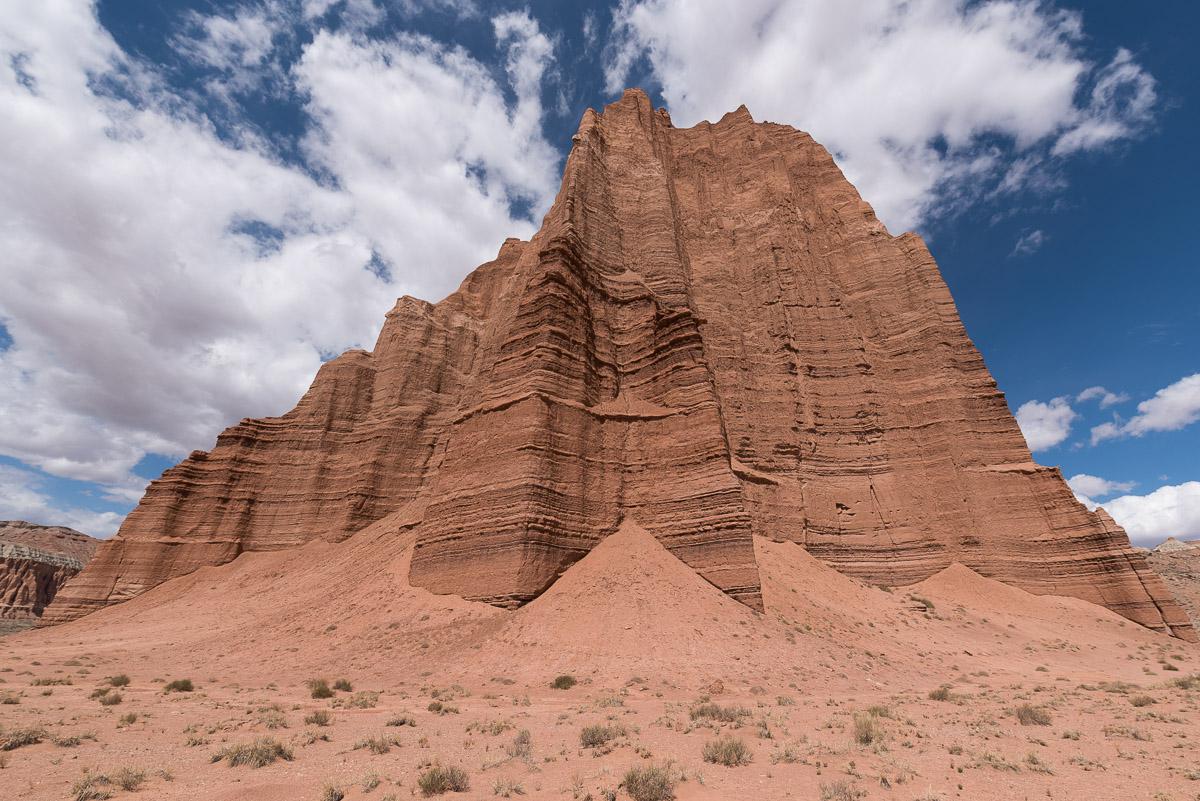
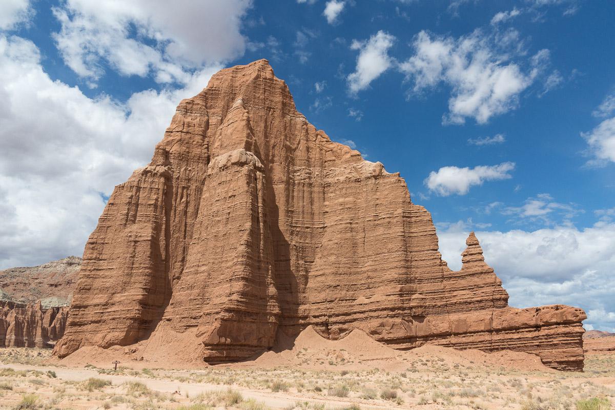
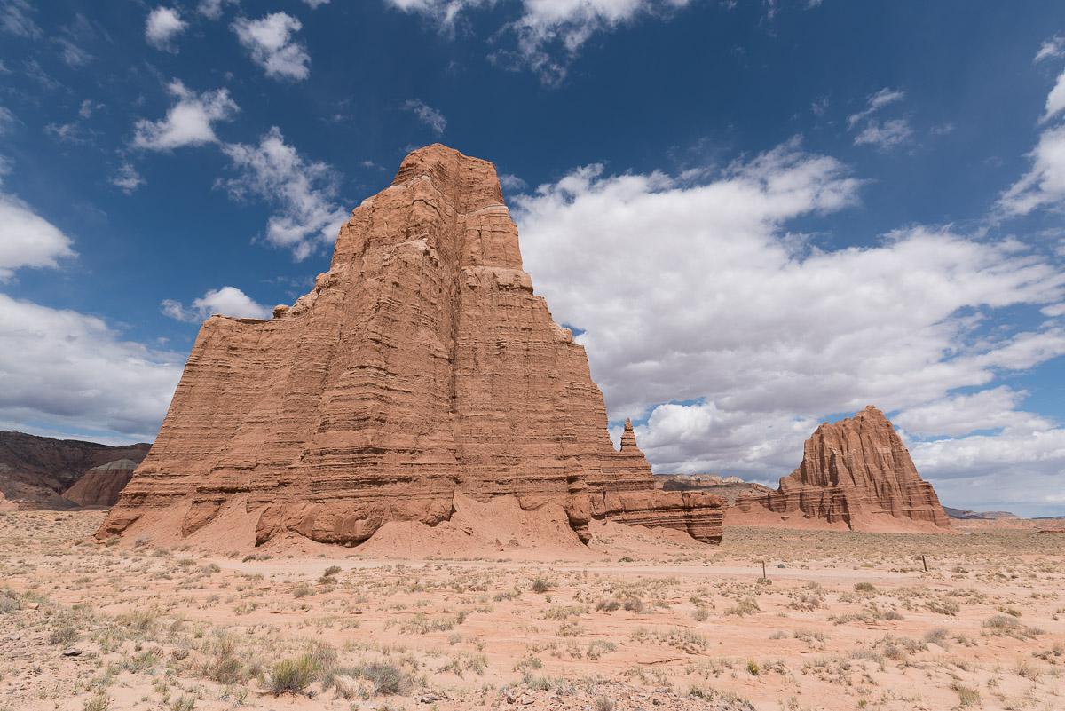
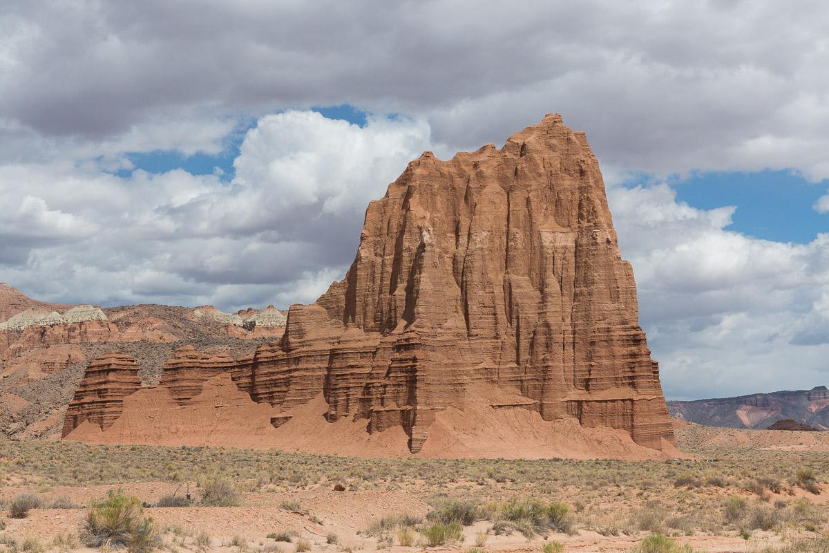
Temple of the Sun, Temple of the Moon
![]()
No hike
![]() 3 to 4 hours
3 to 4 hours
![]()
$15 per vehicle
GPS tracks to download
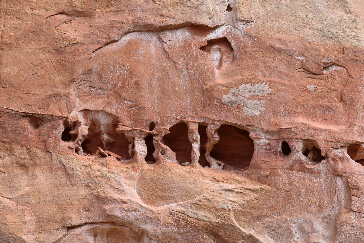
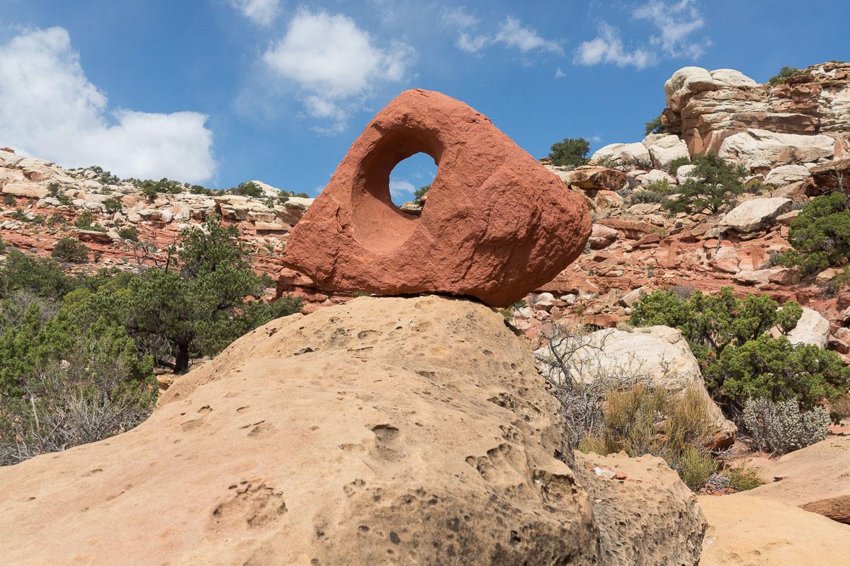
Temple of the Sun and Temple of the Moon are two isolated, erosion-resistant hills on Cathedral Road. The track that leads to it is long and crosses, in places, washs. It is therefore necessary that the track is dry to get there. Along the way, the landscapes are pretty, mostly badlands. The temples are beautiful, but they are nothing special and the track is so long that there is better to see in the area.
Access : access is via Cathedral Road from highway 24 in Caineville, East and outside Capitol Reef. The track is 34,5 miles round trip. Count 3 hours because we don't drive very quickly on this track. Warning : even if the track starts outside of Capitol Reef, both temples are in the National Park so a pass is required.


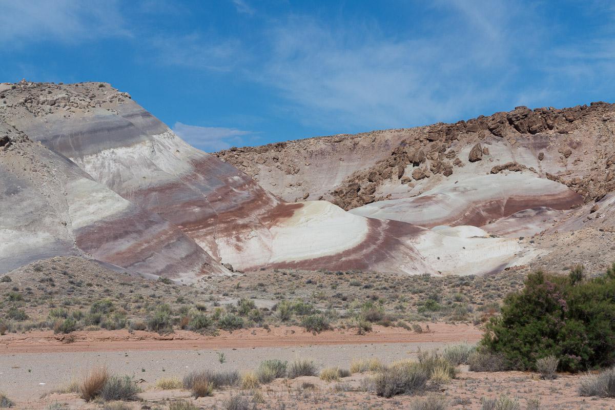
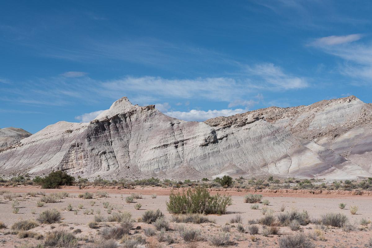
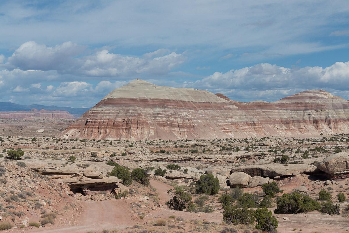
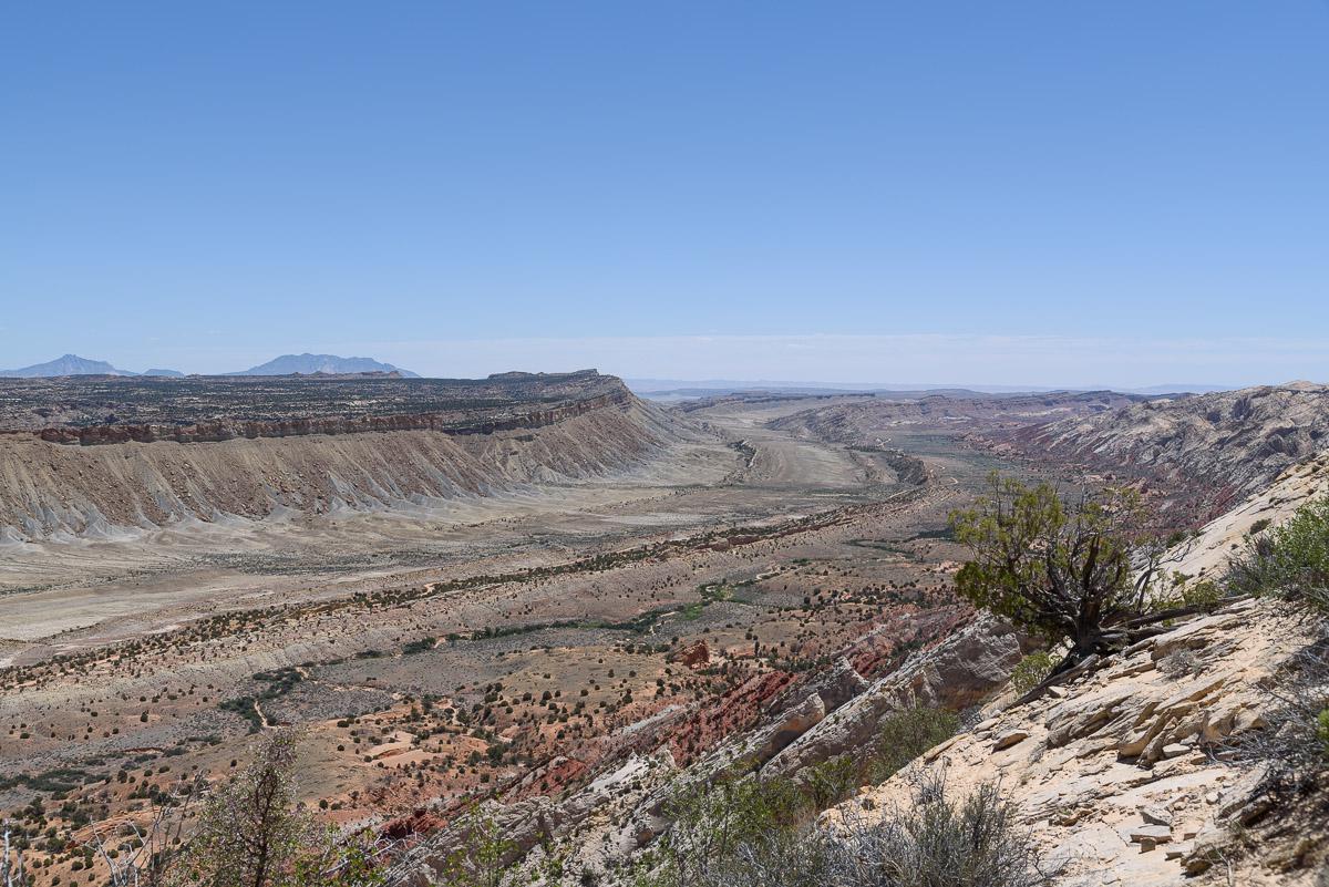
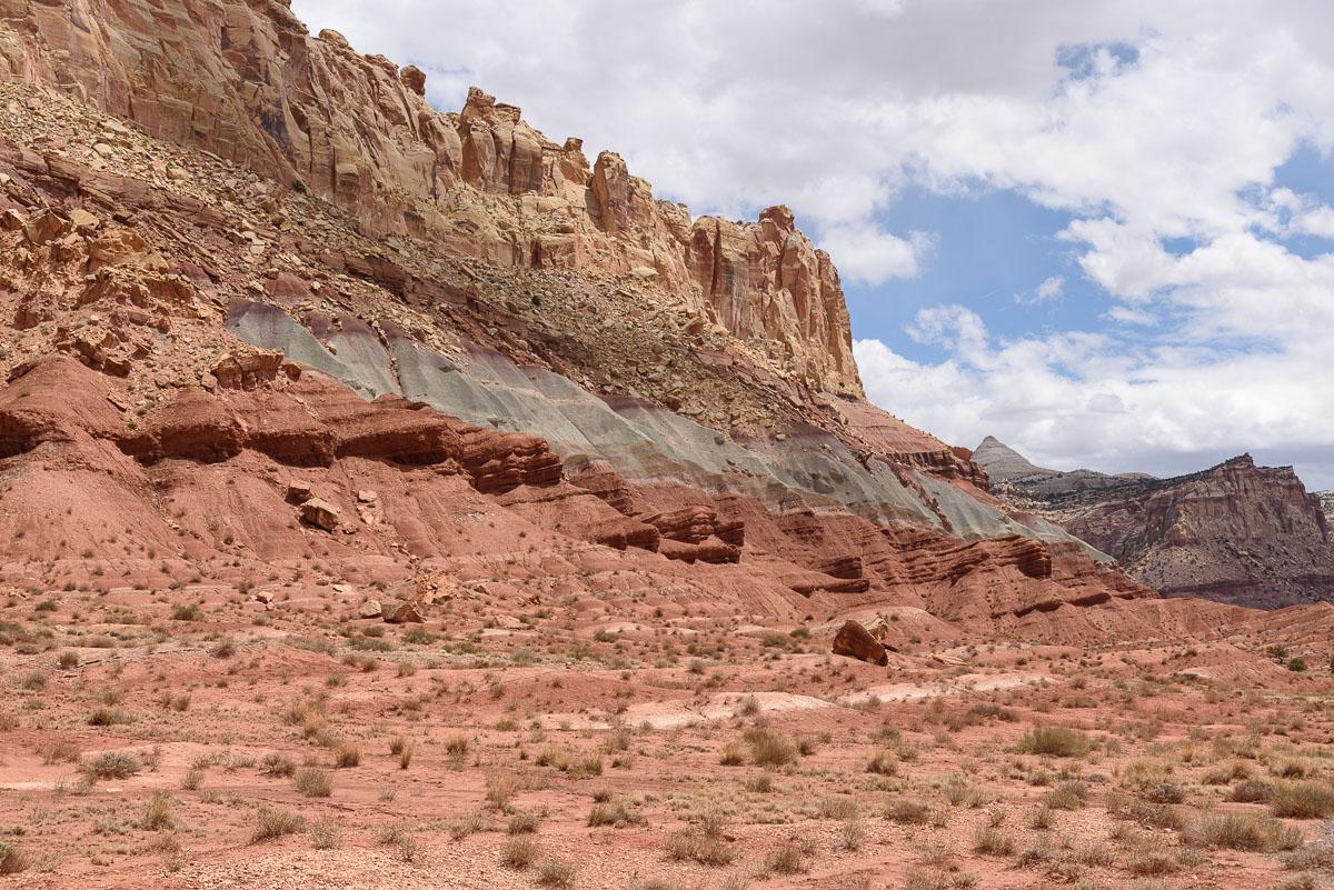
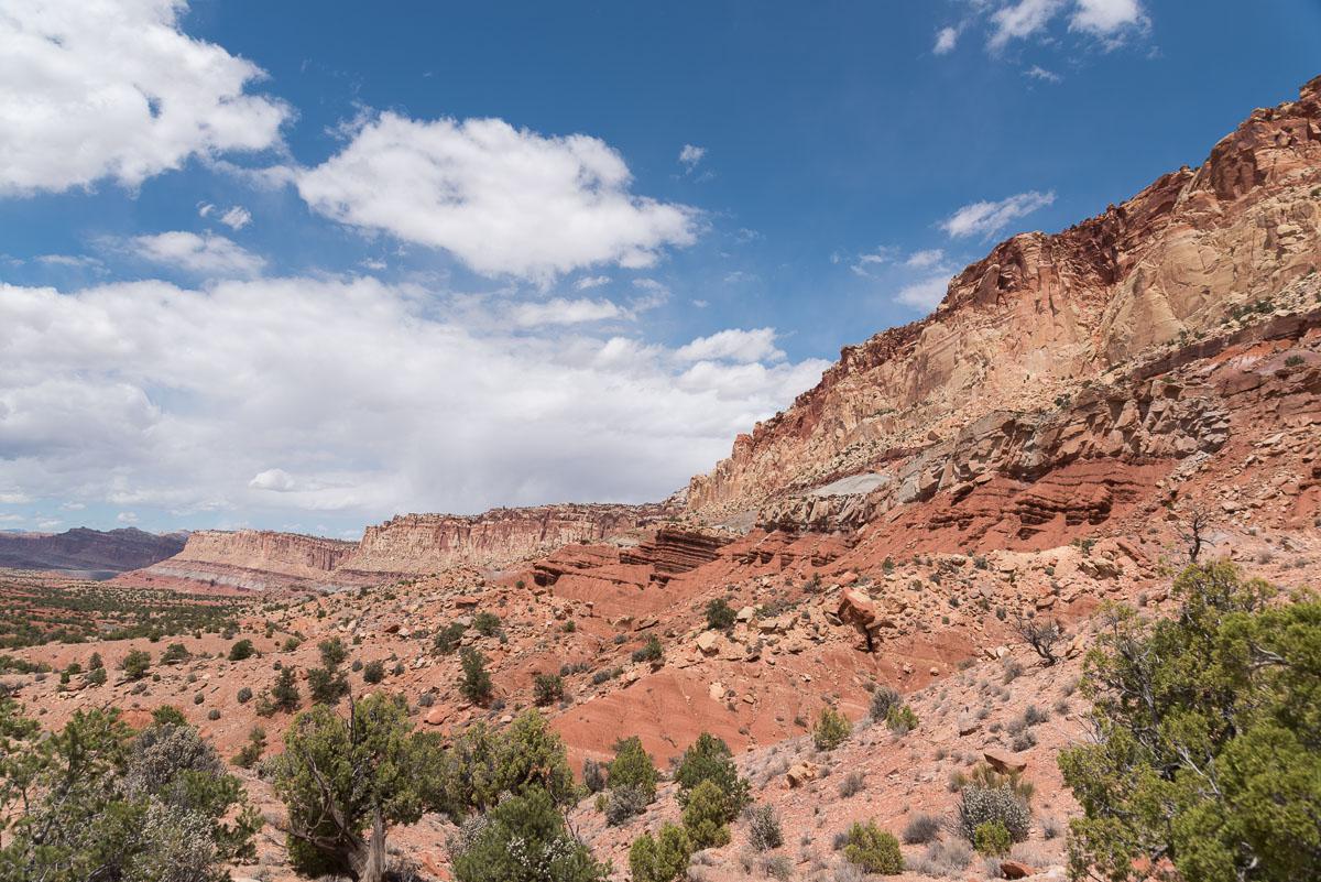
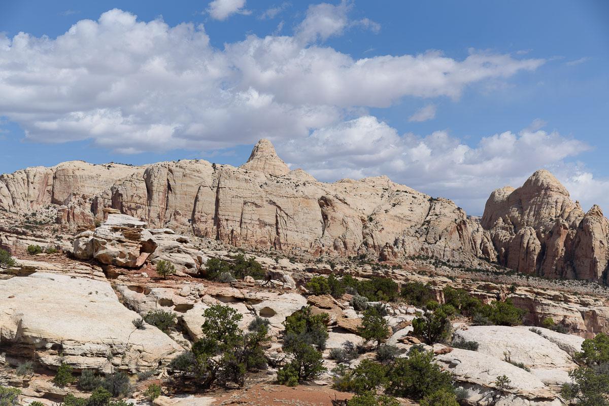
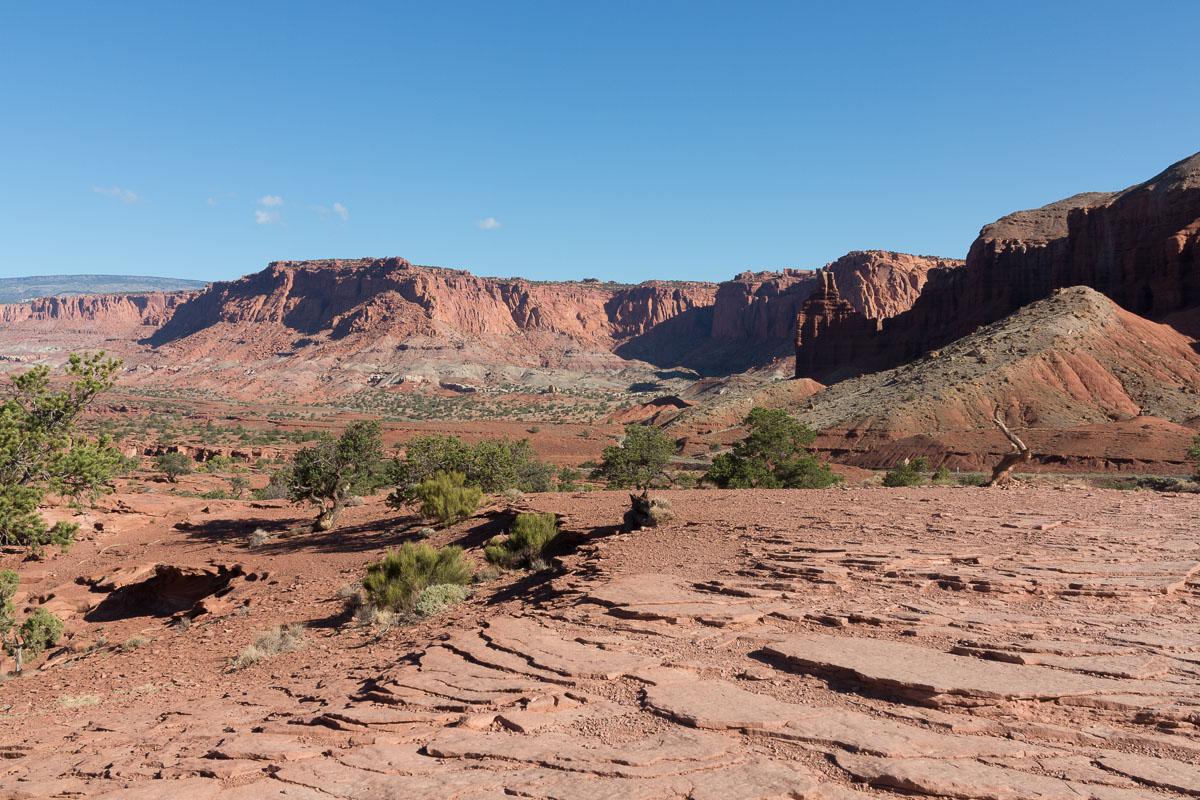
The Viewpoints
![]()
No hike
![]() 1 to 2 hours
1 to 2 hours
![]()
$15 per vehicle
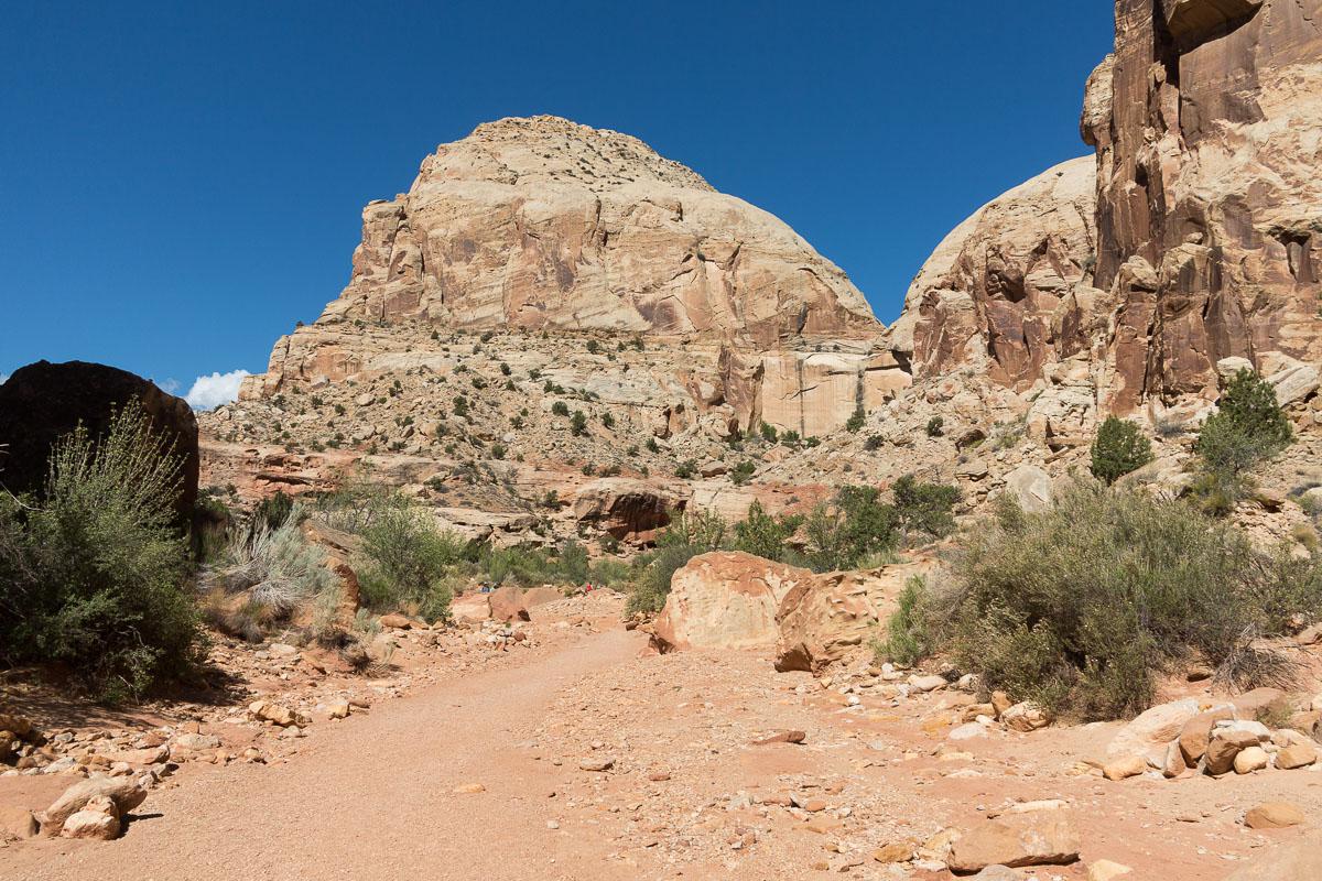
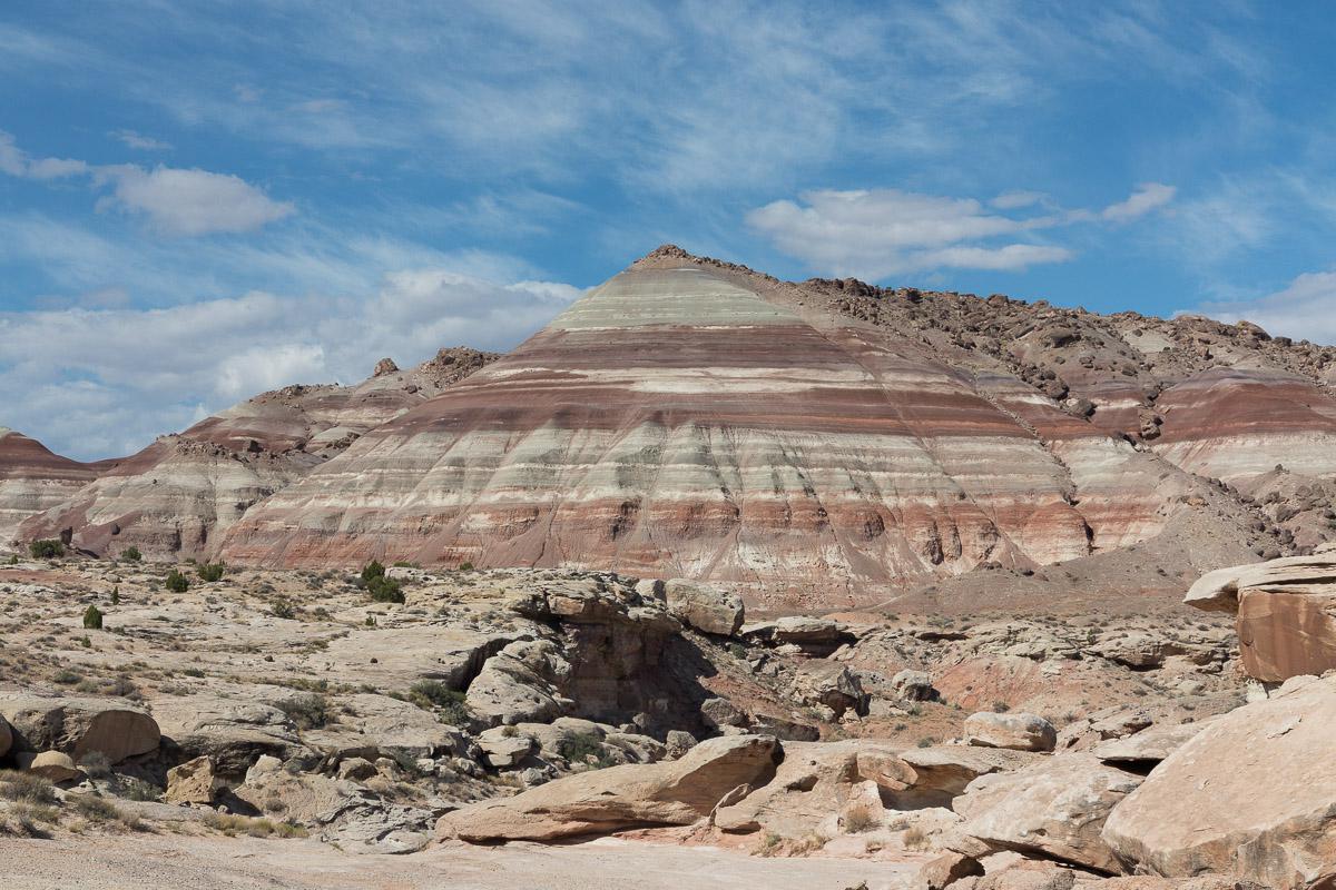
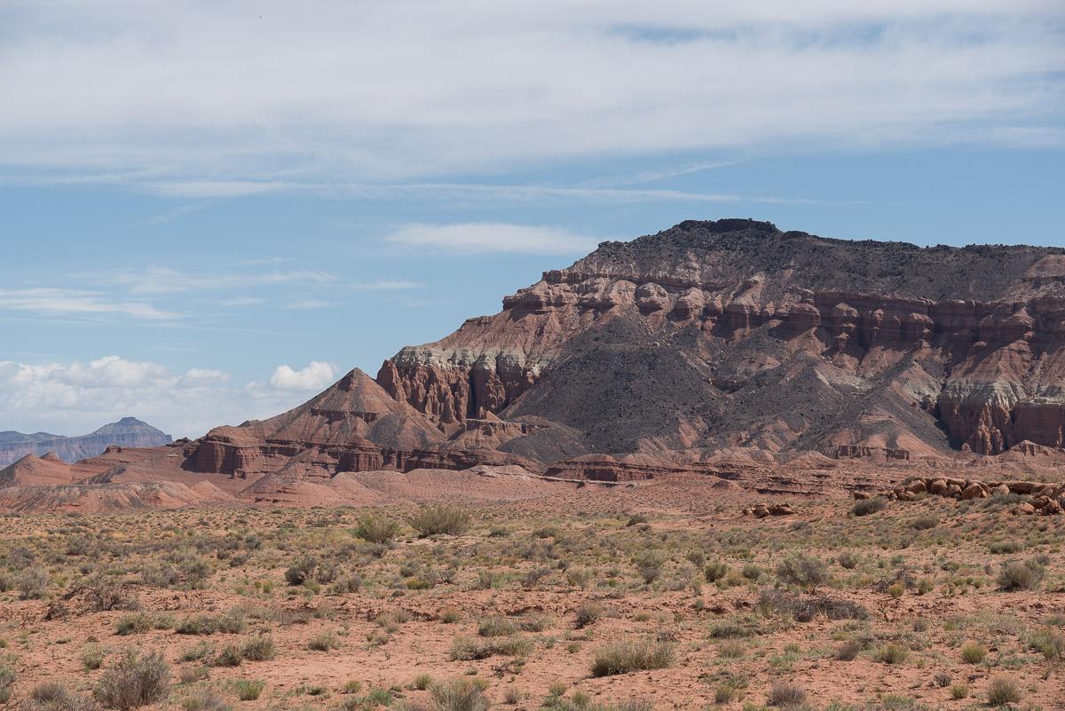
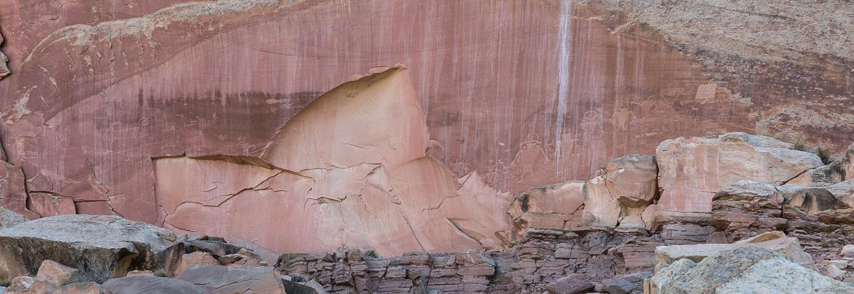
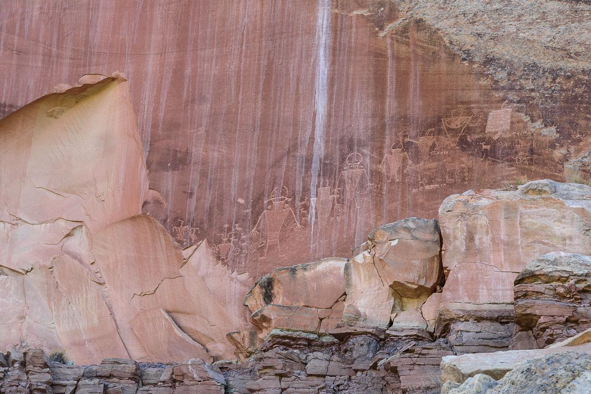
If you don't have enough time, stop at the many viewpoints of the park : Panorama Point, Goosenecks Point, Chimney Rock, Navajo Dome, Pictol's Pyramide and Petroglyph Panel
Access : all these viewpoints are accessible from parking on Highway 24.
.jpg)
.jpg)
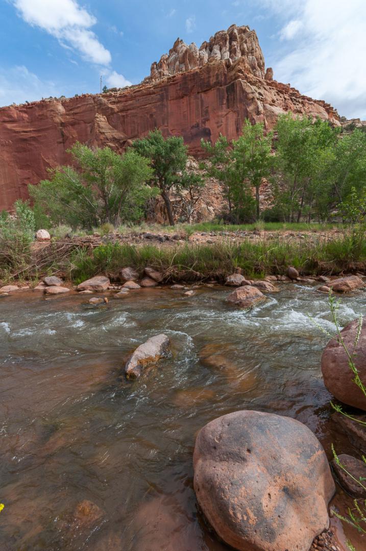
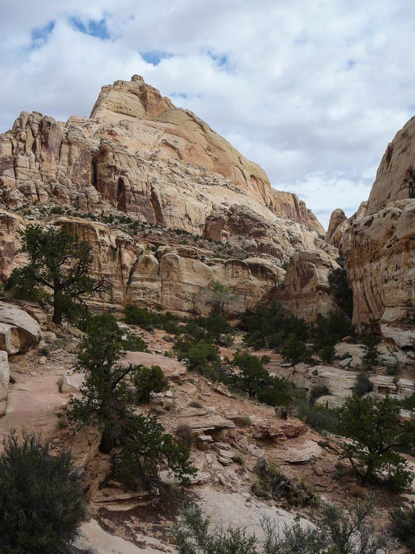
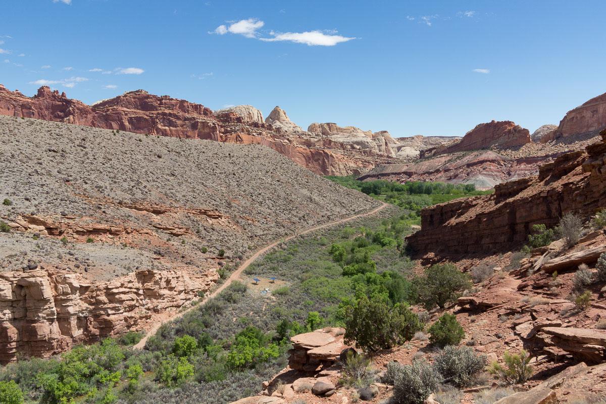
Fremont River Trail
![]()
1,5 miles one way - 40 min
![]() 1 to 2 hours
1 to 2 hours
![]()
$15 per vehicle
![]()
GPS trail to download
The start of the hike is along the Fremont River then rises along a rock face with a vertical drop of 479 feet. You arrive at a first viewpoint. As you continue the path, you reach a second viewpoint.
Access : park in the parking lot of the amphitheater in the Fruita area.


Lodging
We have tested :
.jpg?v=1e492mp)
Copyright Magali and David BELLEC