In this page, you will find informations and advices we can give, based on our experience
Ah Shi Sle Pah - New Mexico
What to do if you have little time : The journey to get there can be long, so if you have little time you won't go to Ah Shi Sle Pah.
Very isolated site, very little frequented. Like its neighbors Bisti Badlands and Valley of Dreams, Ah Shi Sle Pah is full of hoodoos of various shapes and sizes. The place is very extensive and it would take several days to explore the whole site. However, a few hours are enough to explore the area closest to the parking lot which is very dense in hoodoos. Sure, you won't see the yellow hoodoos but there is already a lot to see in this area.
On our first trip in 2014, we were alone and when we went back in 2022, there were 3 cars and the site is so spread out that we didn't run into anyone all day.
Ah Shi Sle Pah
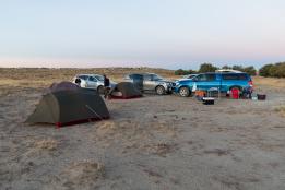
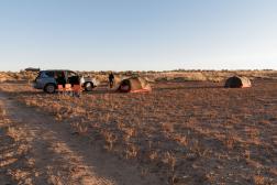
Attention : on aerial views of Google Earth, you can see a car park on the edge of the "canyon". This car park is no longer accessible. We now have to park 650 yards before, since the track was re-planted with shrubs.
Access : from Bloomfield, take US550 south towards Chaco Canyon. After 30,5 miles, turn right immediately after the Blanco Trading Post on "highway" 57 for 18,4 miles. Take the track on the right (GPS: N36 ° 08,365 'W107 ° 55,246'). From its beginning, the track splits in two. You have to take a right on 430 yards. The track then ends. Park your car and walk in the continuation of the track to the "canyon".
Hoodoos jaunes et zone Nord
Beyond the main area of Ah Shi Sle Pah, there are some very nice yellow hoodoos located further west and others, such as Mutt & Jeff and Goblet towards the north. We combined these 2 areas in April 2022, which represented a nice 7,2 miles walk. We took our time and discovered other curiosities along the way.
To discover the yellow hoodoos, you have to go along the rim towards the west in order to find a place to go down in the "canyon" and find these yellow hoodoos at the GPS point N36° 09' 02.9" W107° 55' 53.3". They are slightly high and require climbing on loose rocks. To reach the North zone where Mutt & Jeff (GPS point N36° 09' 41.3" W107° 54' 59.6") and Goblet (GPS point N36°09'41.2" W107°55'02.0") are located, you have to go East and then North. Be aware that these last 3 hoodoos are not the most interesting and the access is long.
Access : from Bloomfield, take US550 south towards Chaco Canyon. After 30,5 miles, turn right immediately after the Blanco Trading Post on "highway" 57 for 18,4 miles. Take the track on the right (GPS: N36 ° 08,365 'W107 ° 55,246'). From its beginning, the track splits in two. You have to take a right on 430 yards. The track then ends. Park your car and walk in the continuation of the track to the "canyon".
To see around
Lodging
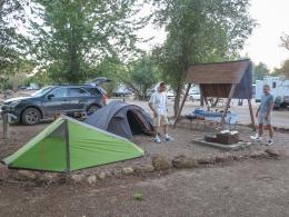
It's quite hard to find a campground in Farmington. So you need to go to Bloomfield to find one. We have tested :


Copyright Magali and David BELLEC