In this page, you will find informations and advices we can give, based on our experience
Egmont National Park / Taranaki - North Island
Egmont National Park, home to the Taranaki volcano (or Mont Egmont), is relatively unknown and neglected by tourists. Yet the detour along the island's southwest coast is well worth it. When the sky is clear, the view of the volcano is superb. The park offers a number of hikes from various sites around Mount Egmont.
The region is not just home to the volcano. There are many other places to visit...
Egmont National Park
![]()
 6,7km one way - 2h00 - Elevation gain 700m
![]() 4 to 5 hours
4 to 5 hours
![]()
Free
Mangorei Track - Pouakai Tarns
Pouakai Tarns is the name given to a small lake at altitude where Mount Taranaki is reflected. If the aim of your hike is to see this reflection, make sure the sky is clear before you set off, and that there's no wind. After all, this is no easy hike. The entire path is covered with wooden footbridges that form 3,000 steps, all of different sizes. Up to the Pouakai Hut, the trail is through forest, it's quite monotonous and it can get chilly in the morning. But it doesn't take long to warm up, as the climb is quite steep. Barely 10 minutes after the hut, we reach a plateau with our first superb view of Mount Taranaki. An ideal spot for a picnic with a view! Continuing for another 10 minutes on the left, you come to Pouakai Tarns, where the reflection of the volcano is a thing of beauty. This little watering hole is sacred to the Maoris.
Access: from New Plymouth, take Route 3 south to the Mangorei Road junction. Turn right at the Mangorei Track Trailhead.
![]()
 Loop of 1km - 20 min
![]() 30 minutes
30 minutes
![]()
Free
Dawson Falls
A short hike through undergrowth leads to a pretty waterfall. Before descending to the foot of the waterfall, a short detour leads to an elevated viewpoint.
Access: from Dawson Falls Visitors Centre.
![]()
 Loop of 3km - 40 min
![]() 1h30
1h30
![]()
Free
Wilkies Pools Loop
This forest hike leads to mini waterfalls and small pools of little interest. The trail continues along the banks of the river, which you have to cross on the rocks. From here, there's a lovely view of the Taranaki.
Access: from Dawson Falls Visitors Centre.
New Plymouth
![]()
 3km one way - 40 min
![]() 1h30
1h30
![]()
Free
The Coastal Walkway in New Plymouth runs for 13 km along the Tasman Sea. But the main points of interest are easily accessible without having to do the whole route.
The Te Rewa Rewa Bridge is famous for its strange shape, reminiscent of a whale skeleton. On a clear day, you can see Mount Egmont between its branches. A further 3km or so takes you to the black-sand Fitzoy Beach.
Access: from the free car park/camping area at Lake Rotomanu
Cape Egmont Lighthouse
![]()
 No hike
![]() 30 minutes
30 minutes
![]()
Free
Nice view of Mount Taranaki “near” the Cap Egmont lighthouse, with its base and red door, which is very photogenic.
The parking lot is on the seafront, then follow a path to the right for the best view. It is possible to walk to the foot of the lighthouse through a private farm.
Access: in Pungarehu, on route 45 between Okato and Opunake.
Tongaporutu - Three Sisters
![]()
 240m - 5 min
![]() 15 minutes
15 minutes
![]()
Free
The Three Sisters beach is one of the local sights: black sandy beach, rocks rising out of the water, orange cliffs. At low tide, you can walk along the beach at the foot of the rocks. Ask about tide times.
Access: the viewpoint from the cliffs is 2 km north of Tongaporutu, on Route 3. Turn left onto Pilot Road.
Lac Mangamahoe
![]()
 300m one way - 5 min
![]() 30 minutes
30 minutes
![]()
Free
Lake with view of Mount Taranaki. In the absence of wind, the mountain is reflected in the lake. Best done in the morning. But beware, the lake is located in a park that opens at 7:00 a.m. and closes at 6:00 or 8:30 p.m., depending on the season.
Access: on Route 3, 11 km from New Plymouth.
Lodging
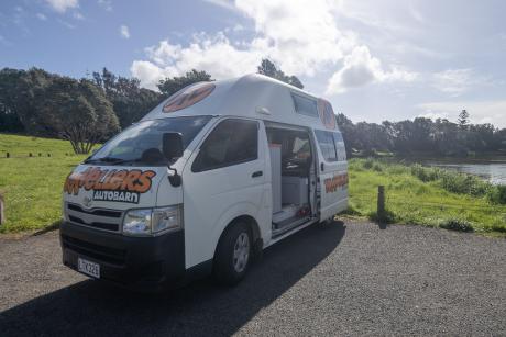
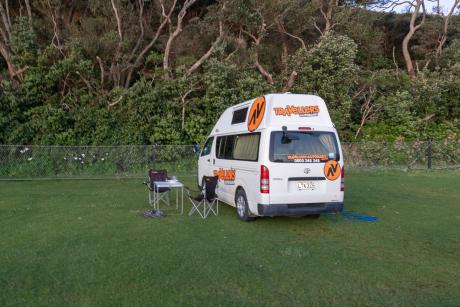
We have tested :
.jpg?v=1j39n5a)


Copyright Magali and David BELLEC