![]()
![]()
![]()
![]()

In this page, you will find informations and advices we can give, based on our experience
Silver Falls State Park and surroundings - Oregon
What to do if you have little time : a few waterfalls in Silver Falls State Park
As often in Oregon, this area is full of waterfalls. Not all of them are as beautiful as the others.
Silver Falls State Park is a concentrate of waterfalls and to explore it, it is better to dedicate a day. Opal Creek, which is a bit longer to access, also deserves a full day. As for McDowell Creek and Henline falls 1 to 2 hours are enough
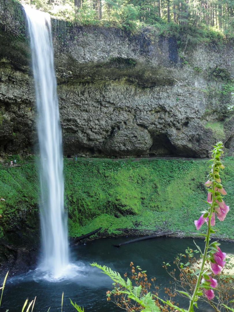
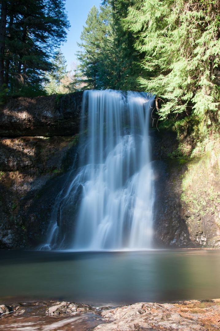
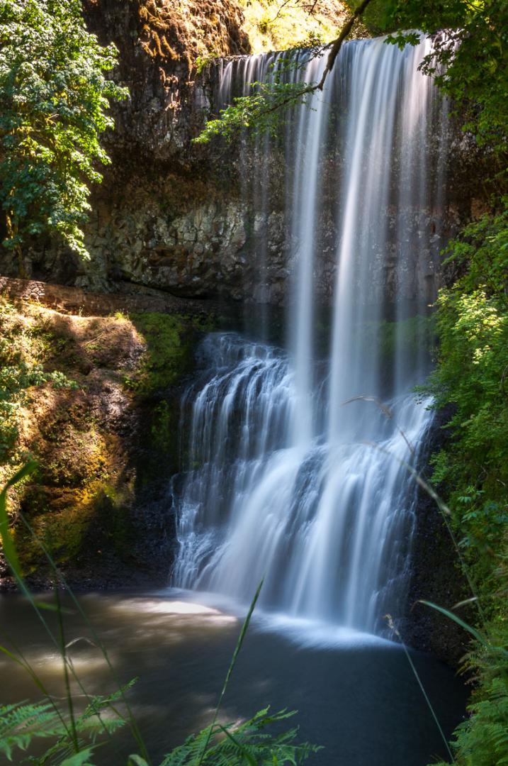
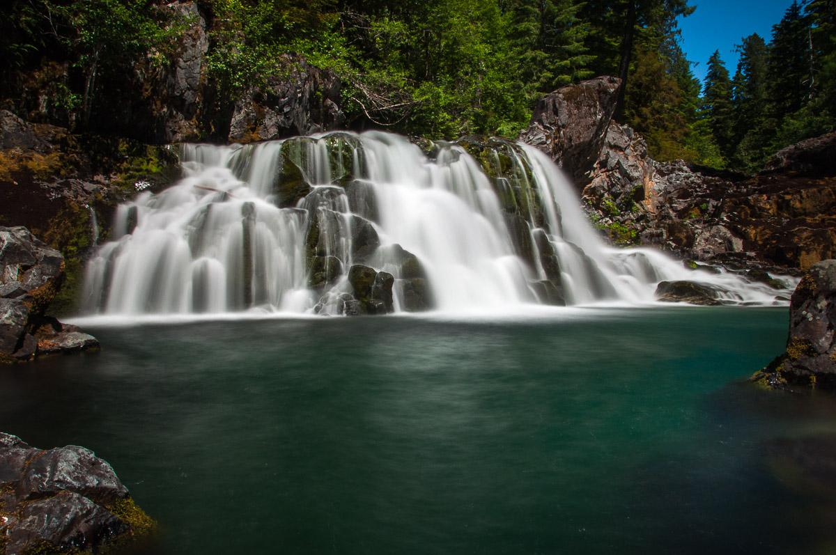
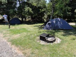
Silver Falls State Park
![]()
 Loop of 6,8 miles
![]() 3 hours
3 hours
![]()
5$
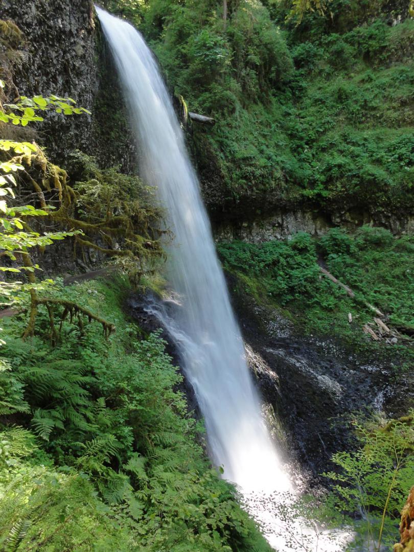
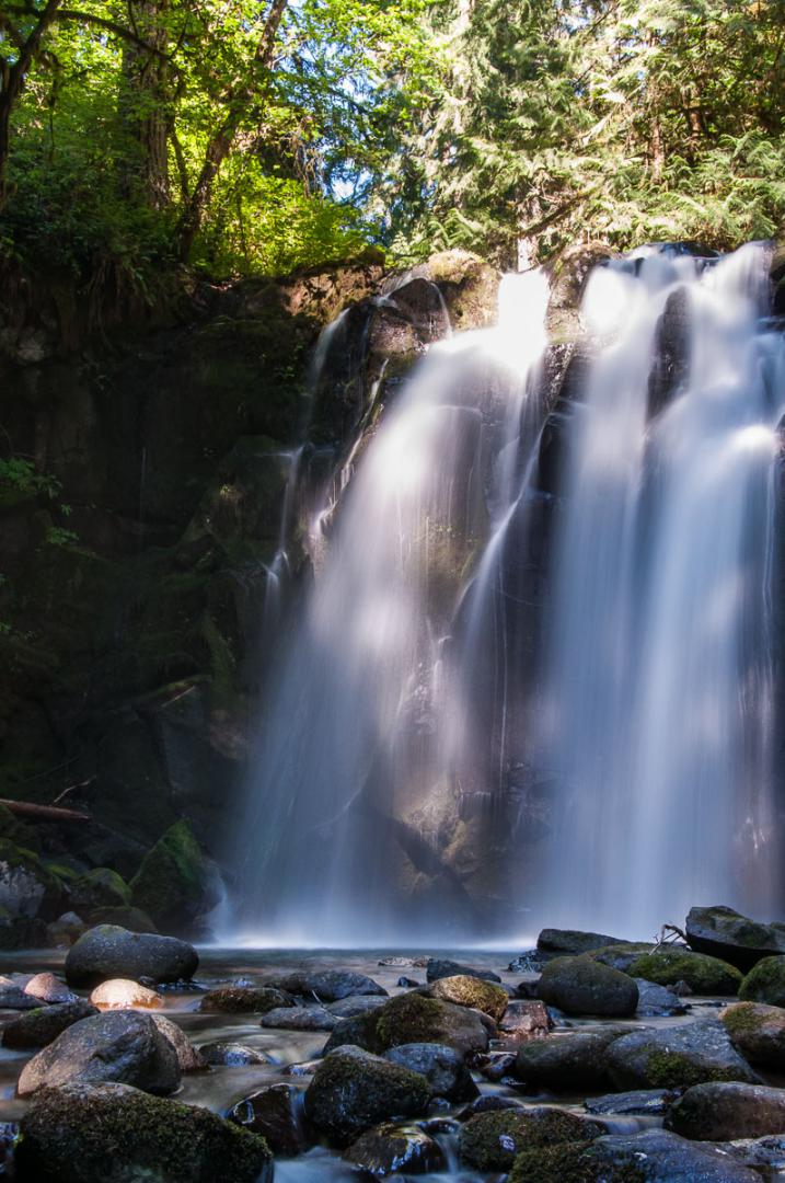
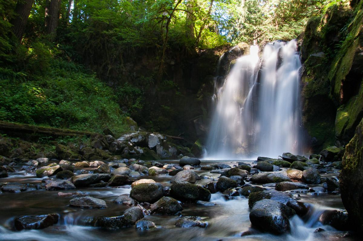
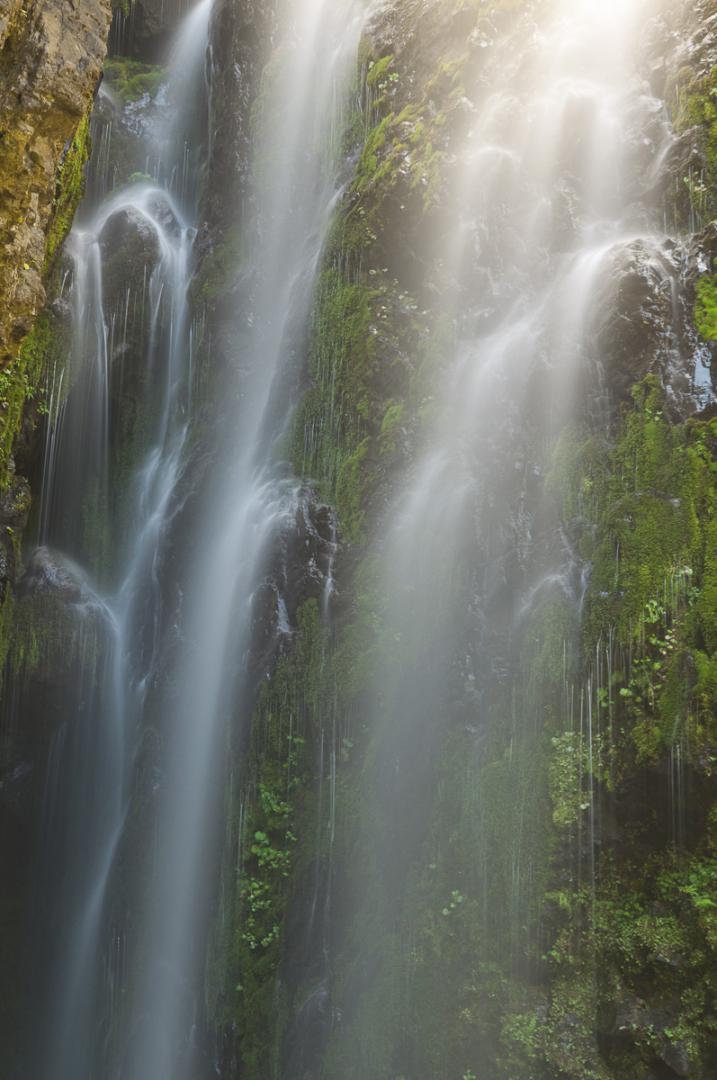
Silver Falls State Park is the biggest State Park in Oregon. You can hike, camp or picnic here ... The 6,8 miles long hike allows to discover 10 waterfalls in the forest. The most beautiful are South Falls and Upper North Falls.
Access : from Salem, take highway 22 East then highway 214 to Silver Falls SP.

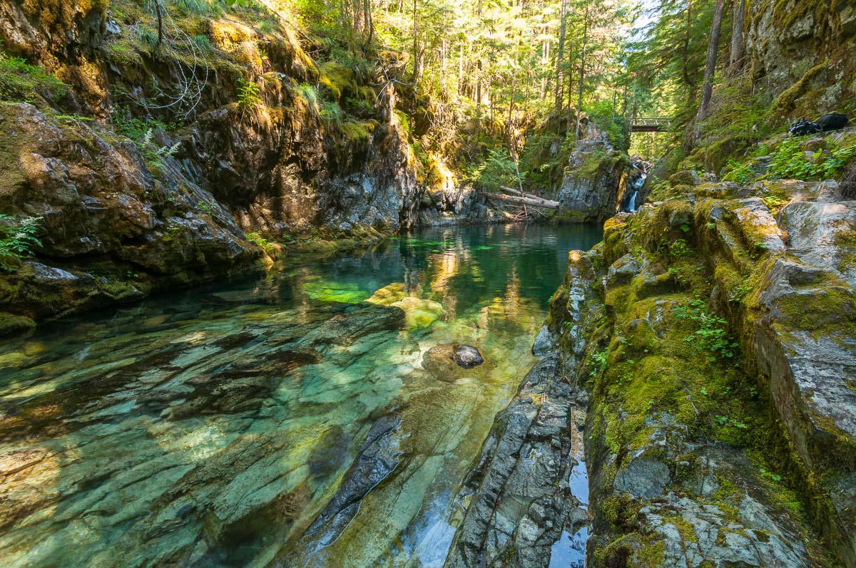
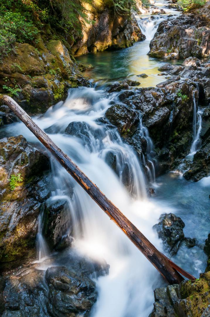
Opal Creek Scenic Recreation Area
![]()
3,7 miles one way
![]() 3 to 4 hours
3 to 4 hours
![]()
Free

N 44° 51' 35.6"
W 122° 15' 51.3"
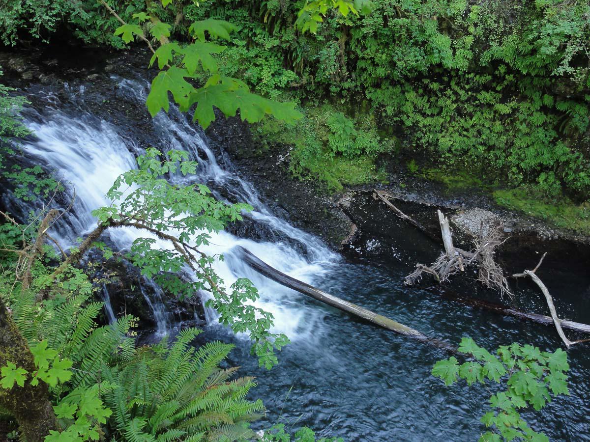
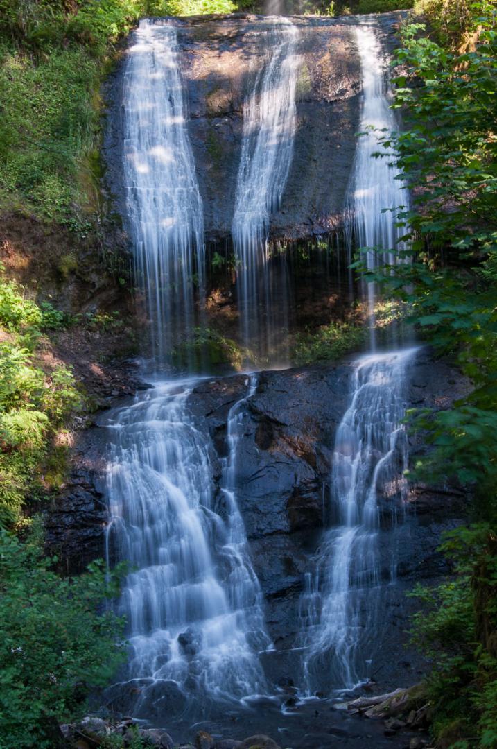
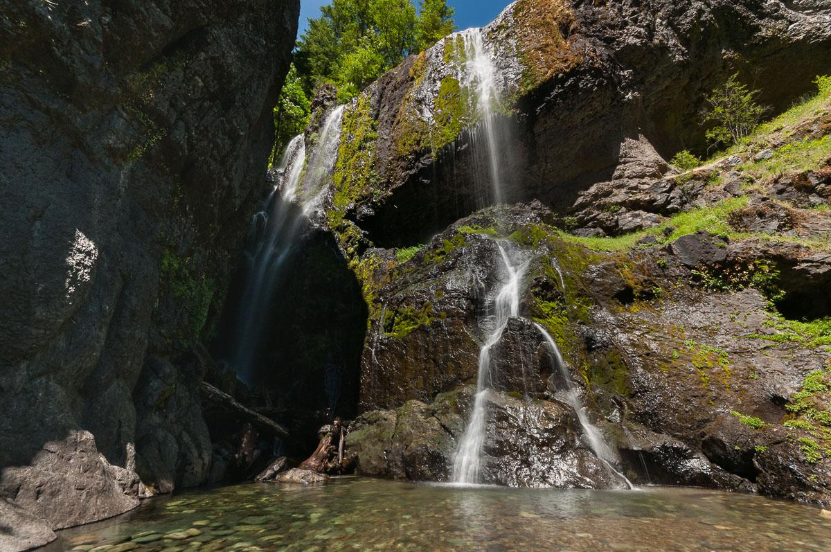
The park includes several sites in the forest: Opal Pool, Three Pools, Sawmill ...
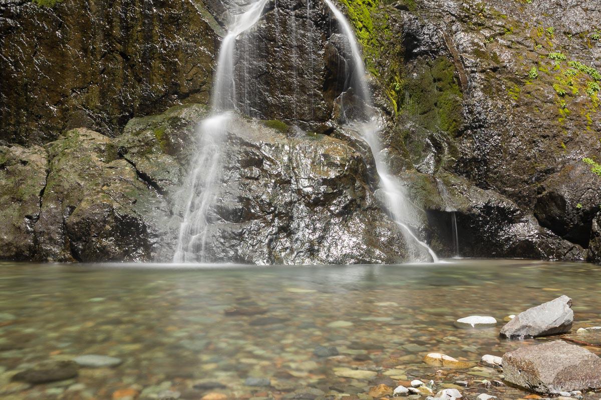
The trail to Opal Pool begins with a path wide enough, then we arrive at an intersection, turn right onto the bridge and follow the sign "Opal Creek". From there, you still have to walk for 3 miles (the whole walk is about 8 miles roundtrip). Opal Pool is like a sunken pool in the rocks. All the green wood is reflected in the water so that it seems that the water is green. A little further up there is a bridge and small waterfalls.
To access the Sawmill waterfall, take the same path as above, but before the intersection, you must go behind a wooden barn that is beside the path. The waterfall is beautiful.
Access : from Salem, take Highway 22 for 23 miles until the second yellow flashing lights in Mehama. On the opposite side to the restaurant Swiss Village, turn left on Little North Fork Road for 15 miles (paved road) then 1,3 miles on gravel. Turn left at a fork on road 2209 and go ahead for 4,2 miles to a closed gate. Park and pay here.

.jpg)
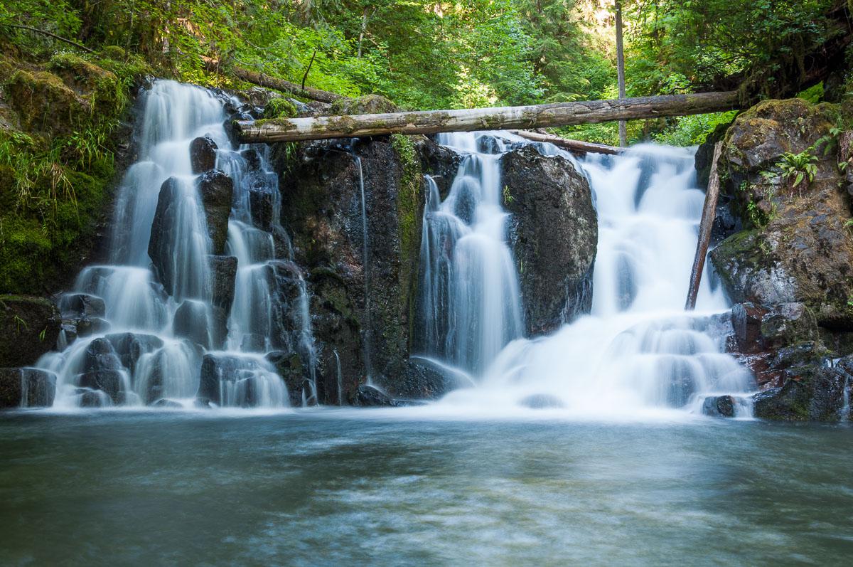
Mac Dowell Creek County Park
![]()
Loop of 1,9 miles
![]() 1 to 2 hours
1 to 2 hours
![]()
Free
N 44° 27' 55.8"
W 122° 40' 40.6"
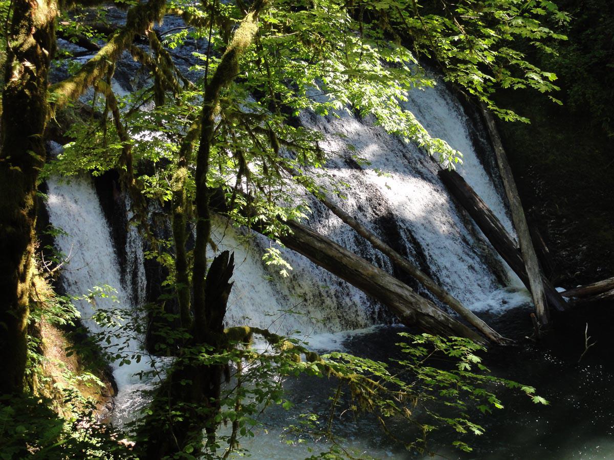
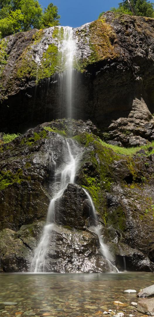
This short hike 2 miles long allows to discover 3 waterfalls in the forest, the most beautiful of which is Crystal Pool.
Access : from Lebanon, US20 East towards Sweet Home for about 5 miles. Then turn left, cross a railroad and immediately after the railroad, turn right on Fairview Road. Then, at crossroad turn left Mac Dowell Creek Drive to the County Park.
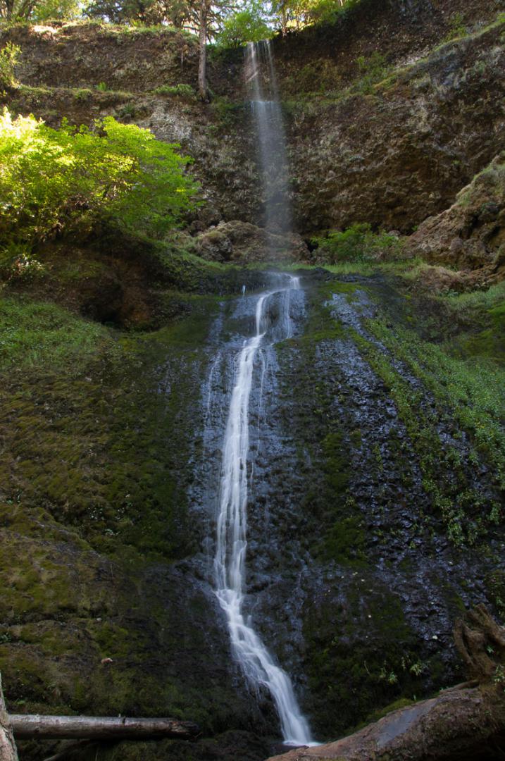
Henline Falls
![]()
1 mile one way
![]() 1 hour
1 hour
![]()
Free

GPS tracks to download
![]()
GPS trail to download
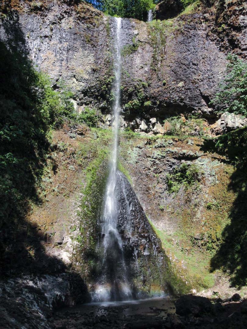
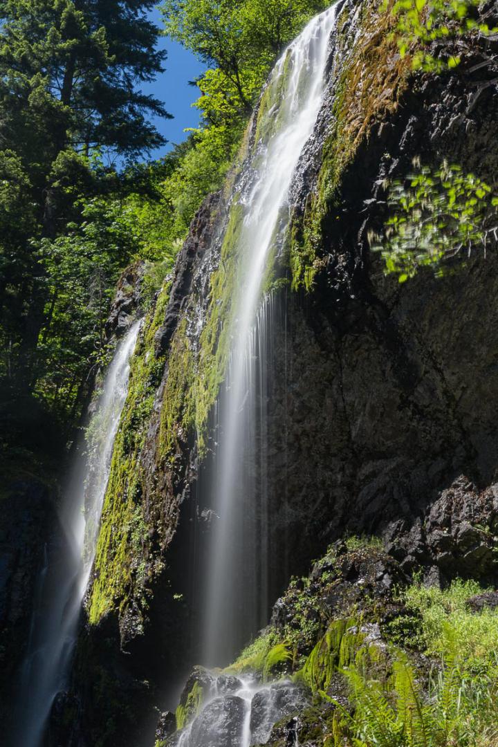
The easy hike is 2 miles roundtrip. Quite high waterfall. It's difficult to photograph in the afternoon because it's half in the shade, half in full sun.
Access : from the small town of Gates on Highway 22 (North Santiam Highway), take Gates Hill Road towards Little North Fork. Drive for 3,7 miles. Turn right on North Fork Road for 4,3 miles. This road becomes NF-2207. It's no longer paved but graveled. Continue straight for 1,9 miles and again straight on NF 22-09 for 650 feet. Parking and trailhead are on your left.

To see around
Lodging
We have tested :
Copyright Magali and David BELLEC