![]()
![]()
![]()
![]()

In this page, you will find informations and advices we can give, based on our experience
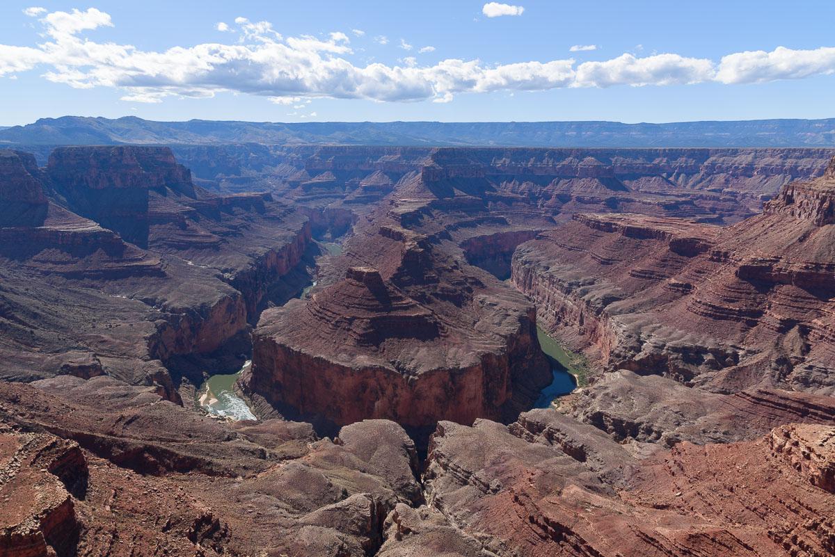
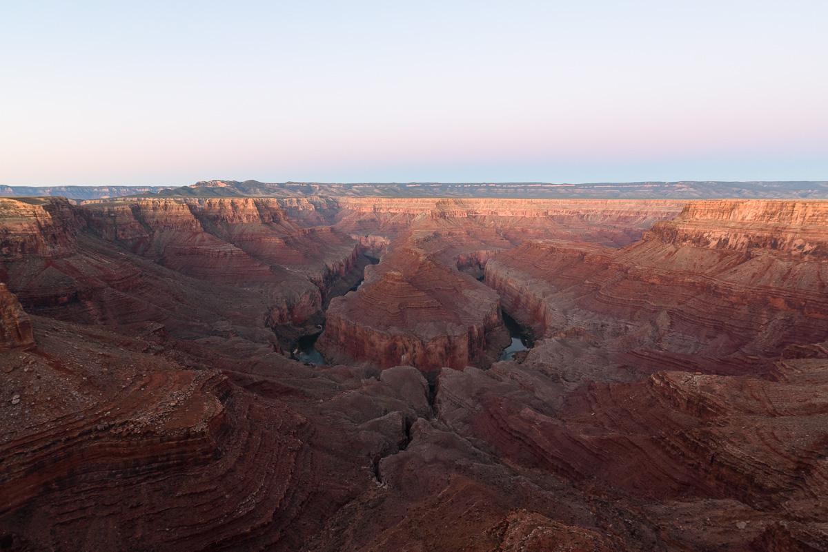
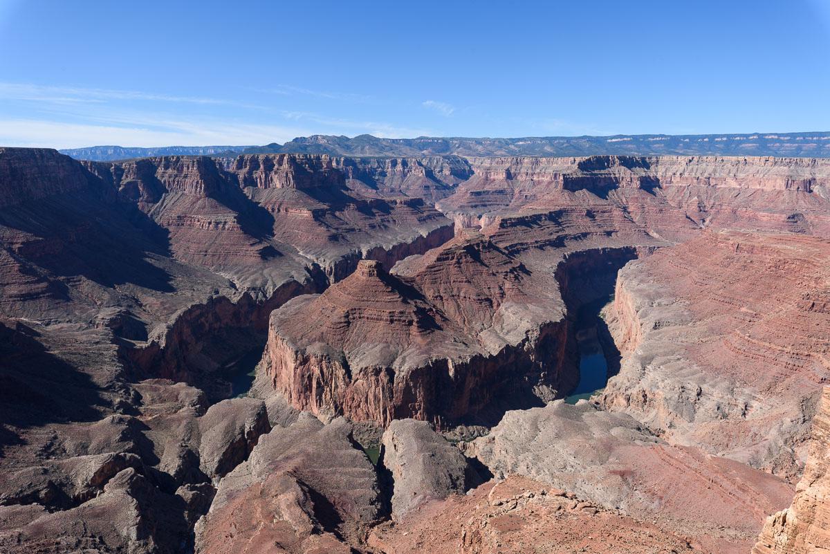
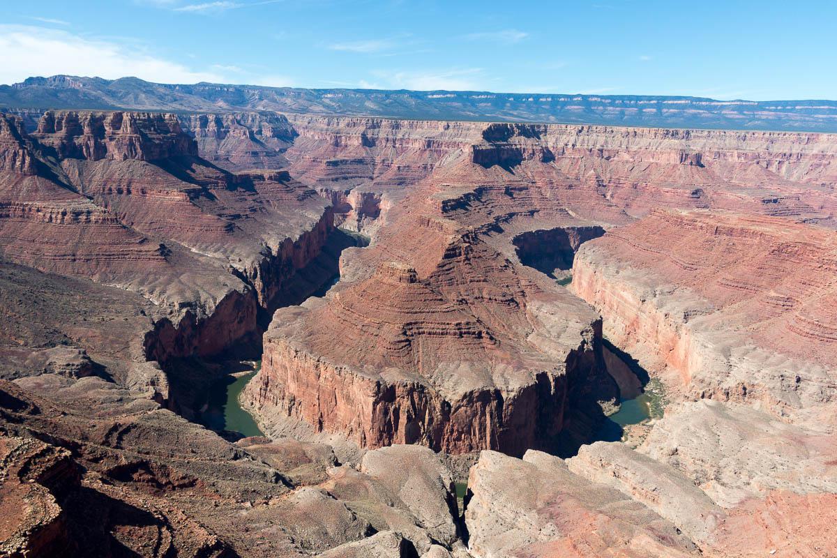
Hansbrough Point - Arizona
What to do if you have little time : the track is long to go, so it takes time ...
You're jaded by Horseshoe Bend crowds, so Hansbrough Point is for you! Although less beautiful, because we do not see all the "horseshoe", this place still unknown is very little frequented. It must be said that the track leading to it, although quite easy, is long. A 4WD with a high ground clearance is recommended. However, a 2WD high still allows you to go to Hansbrough Point provided the track is dry.
A permit is required to go to Hansbrough Point. It is purchased at Cameron Navajo Park & Recreation, about 1.6 miles south of the Cameron Trading Post (burger king roundabout) and costs 12$ per person (in September 2017).
Hansbrough Point
![]()
 No hike
![]() 4 hours
4 hours
![]()
12$/person

GPS tracks to download
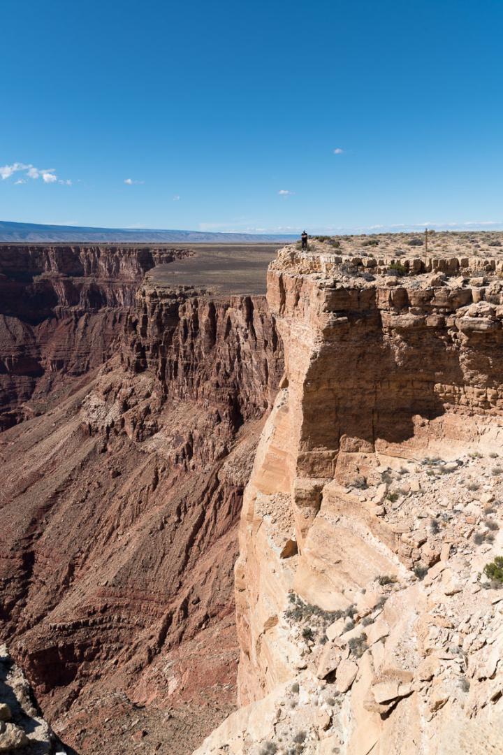
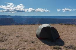
No hike here, except along the rim for a few hundred yards.
Access : from Cameron, follow the US89 north for 38.2 miles to GPS N36°23'31.8 "W111°31'29.1". Take the Indian Route 6110 track on the left. This track is rolling at first. It then becomes more risky for tires with a lot of pebbles. But by driving slowly and being careful, it passes. There is just one place, where there is a water hole for cattle, a little more delicate where you need a ground clearance high enough to "climb a step". It takes 1h30 to cover the 18 miles of track.

To see around
Lodging
We have tested :
Copyright Magali and David BELLEC