![]()
![]()
![]()
![]()

In this page, you will find informations and advices we can give, based on our experience
East Fork Sevier River Scenic Backway - Utah
What to do if you have little time : Chimney Rock Trail
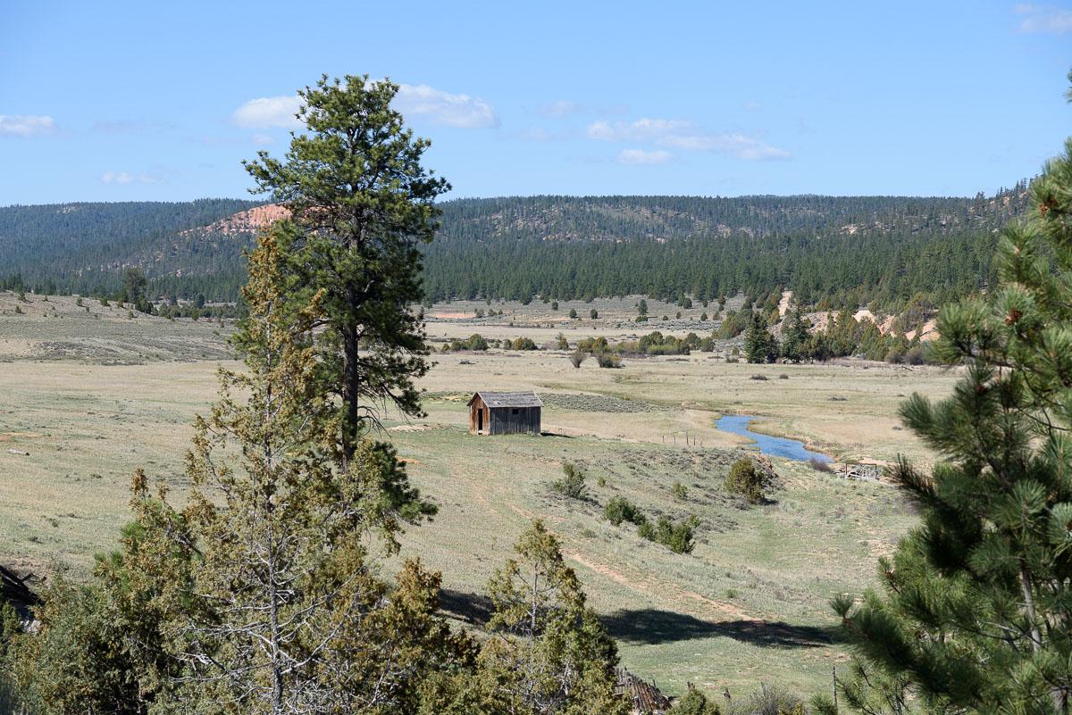
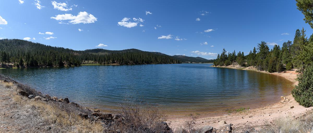
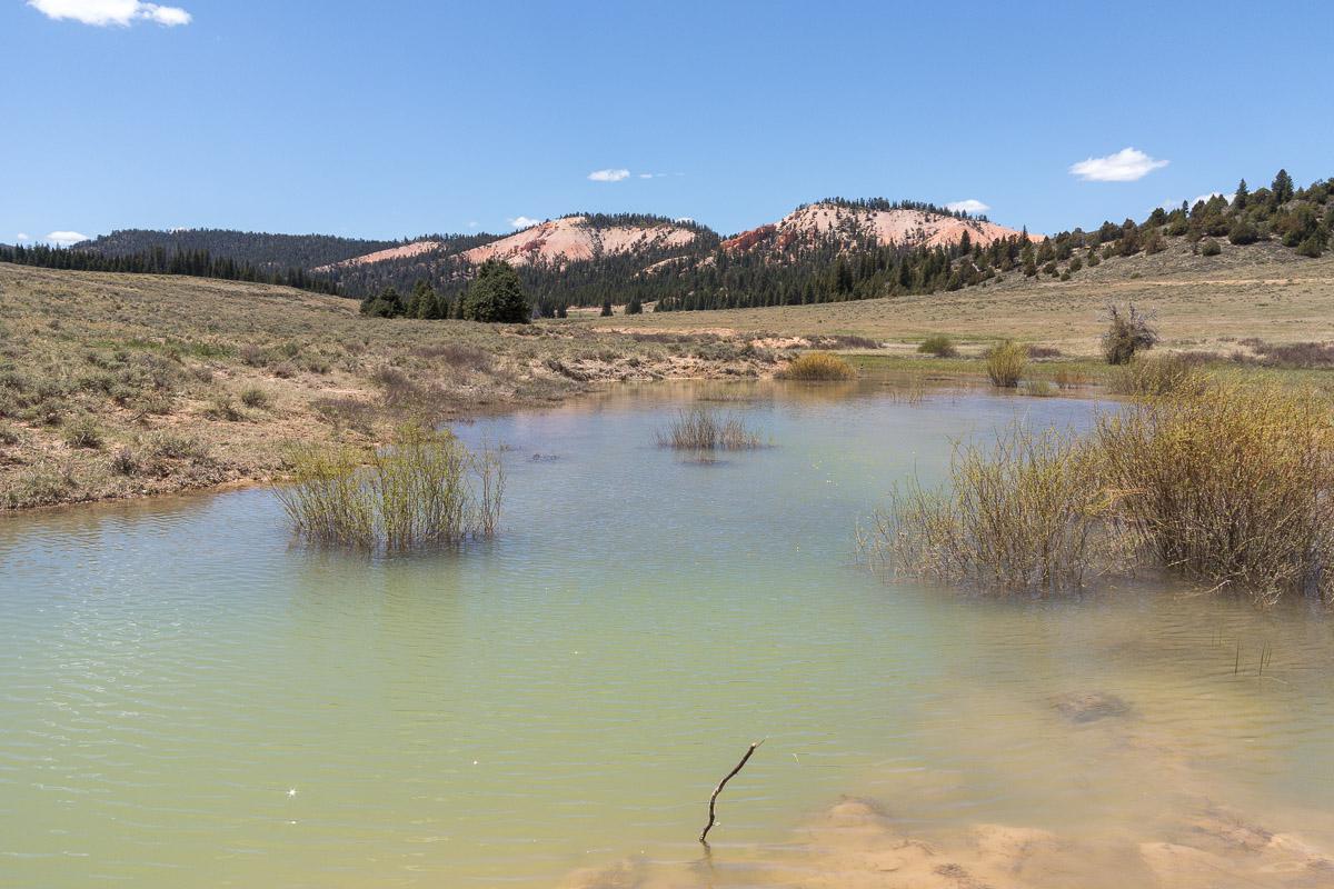
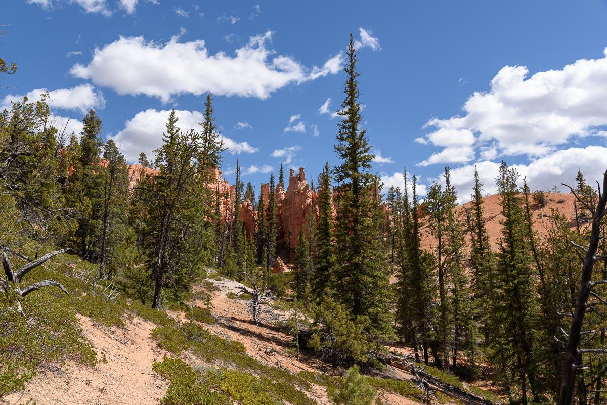
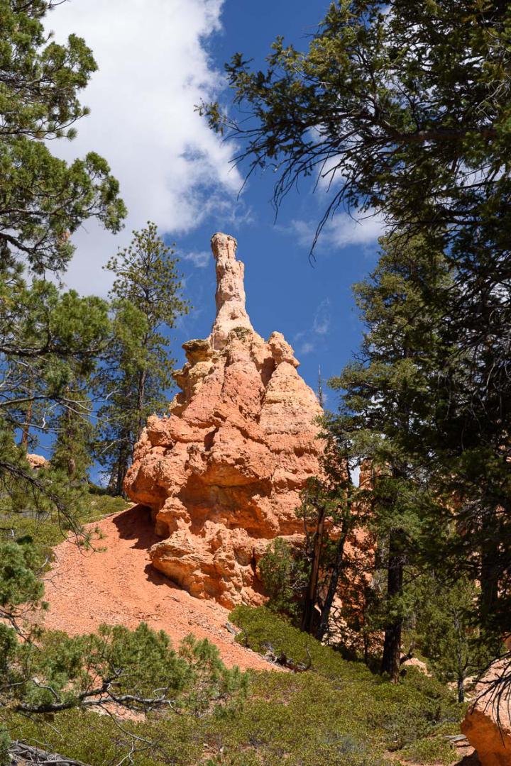
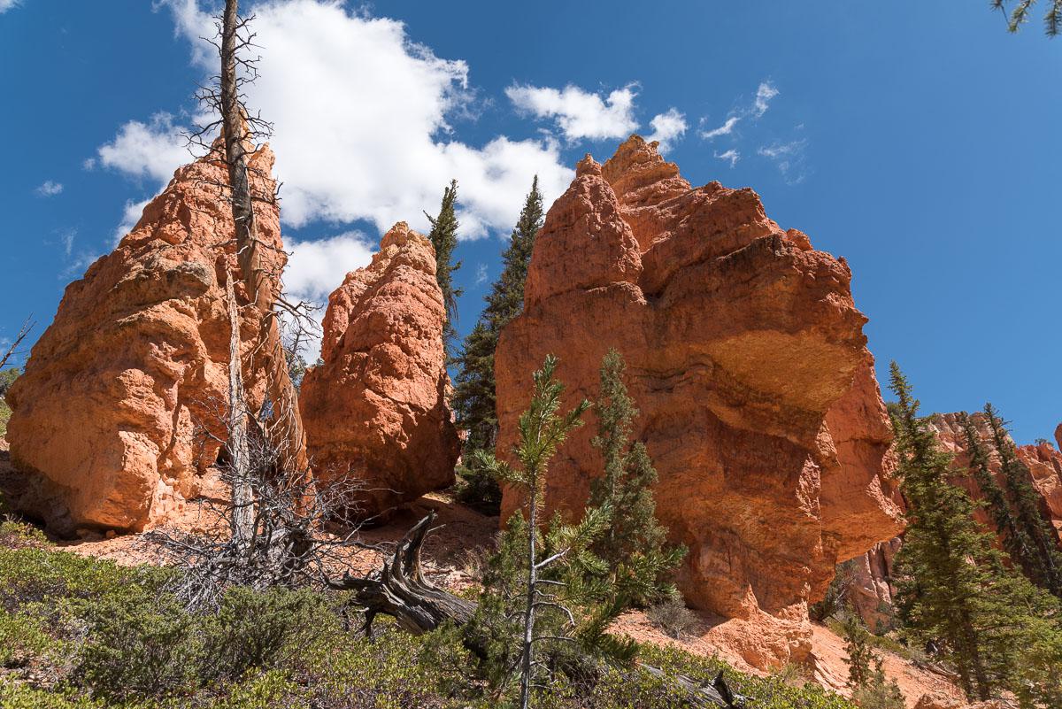
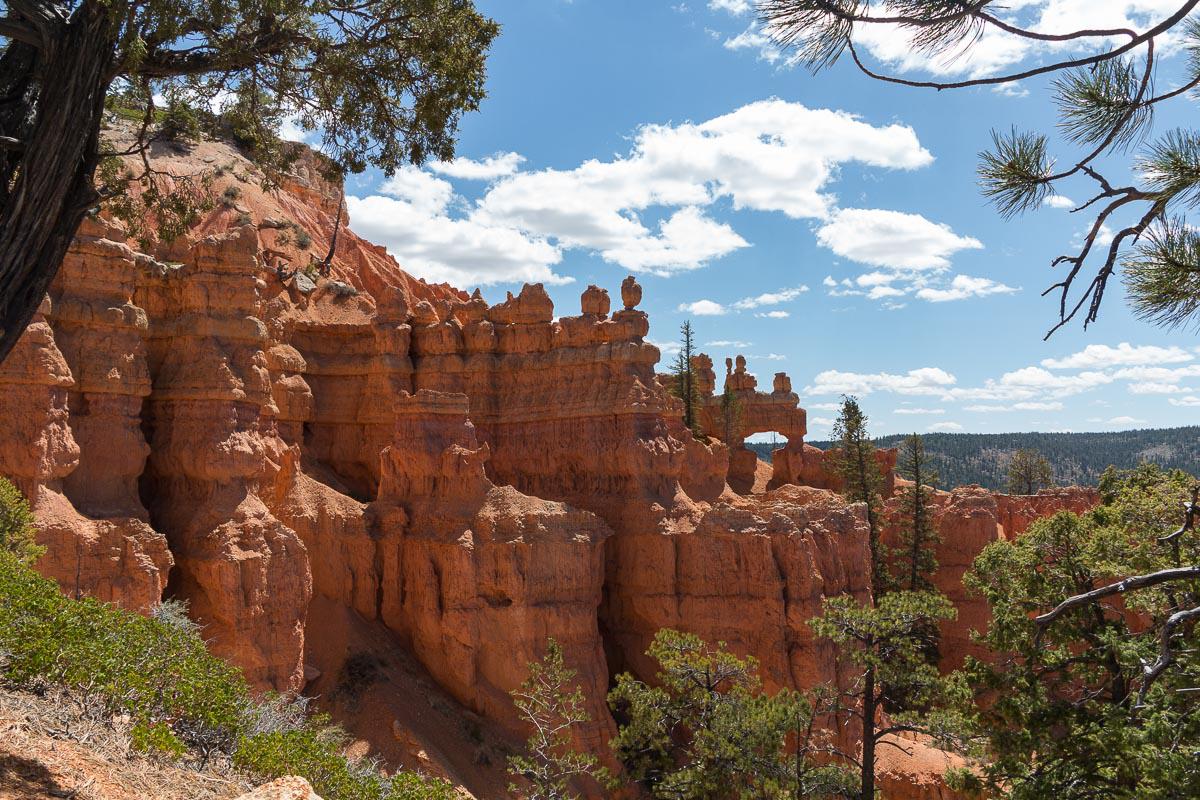
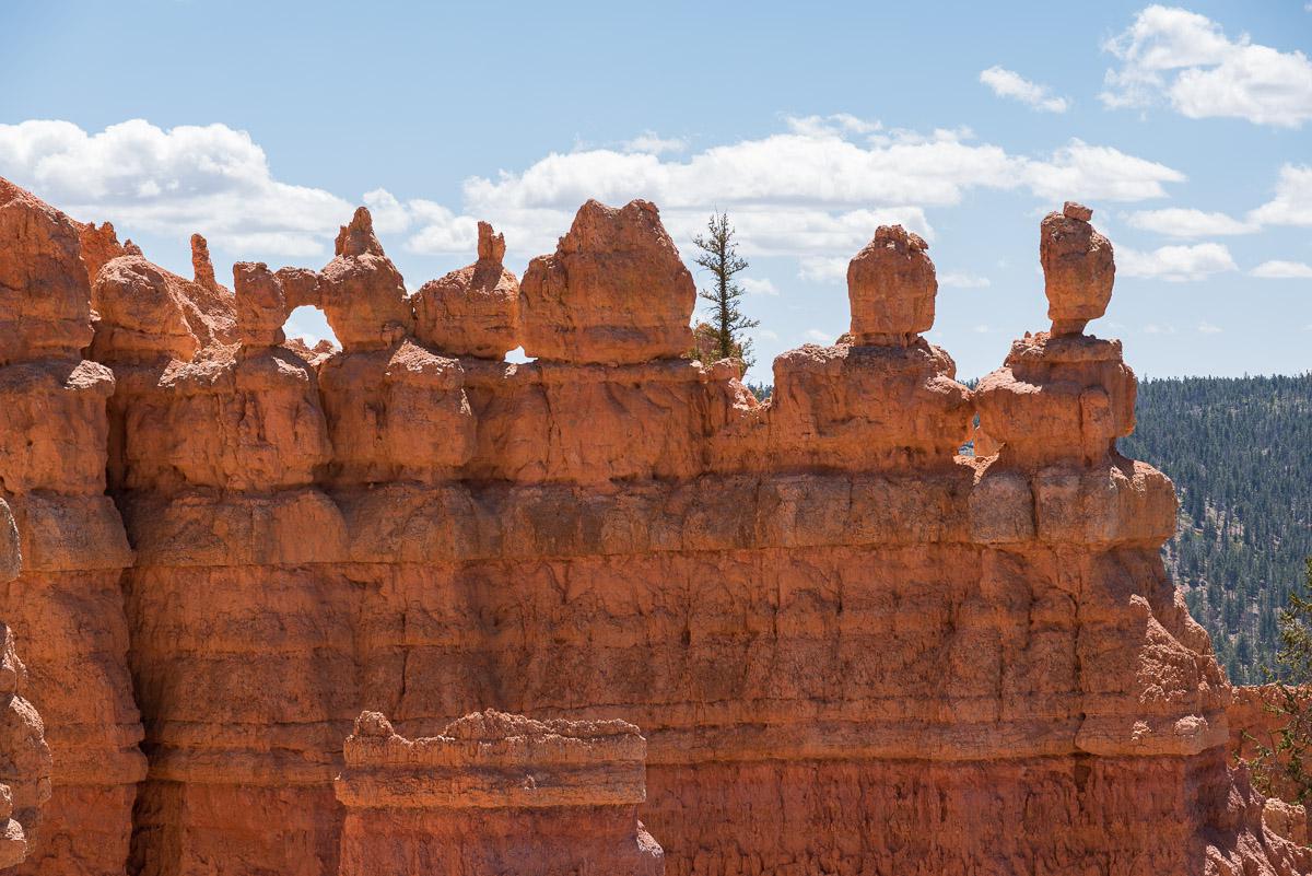
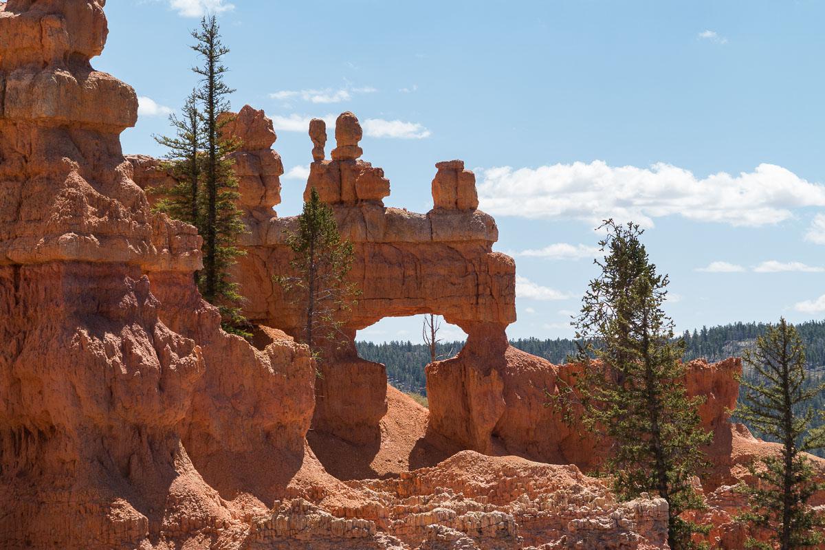
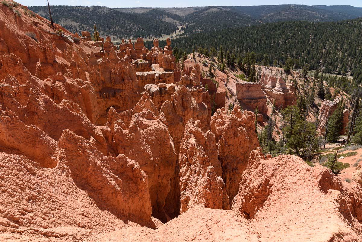
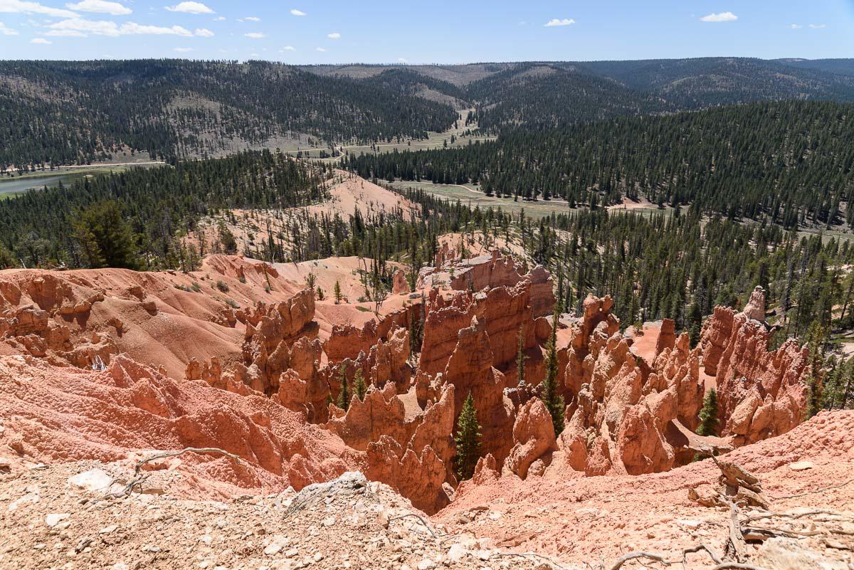
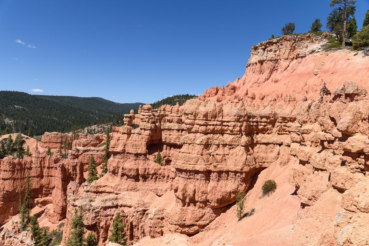
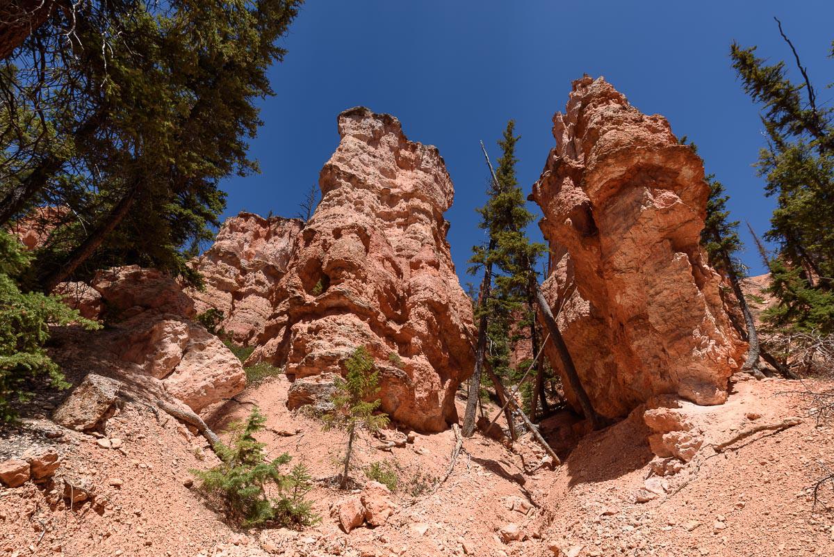
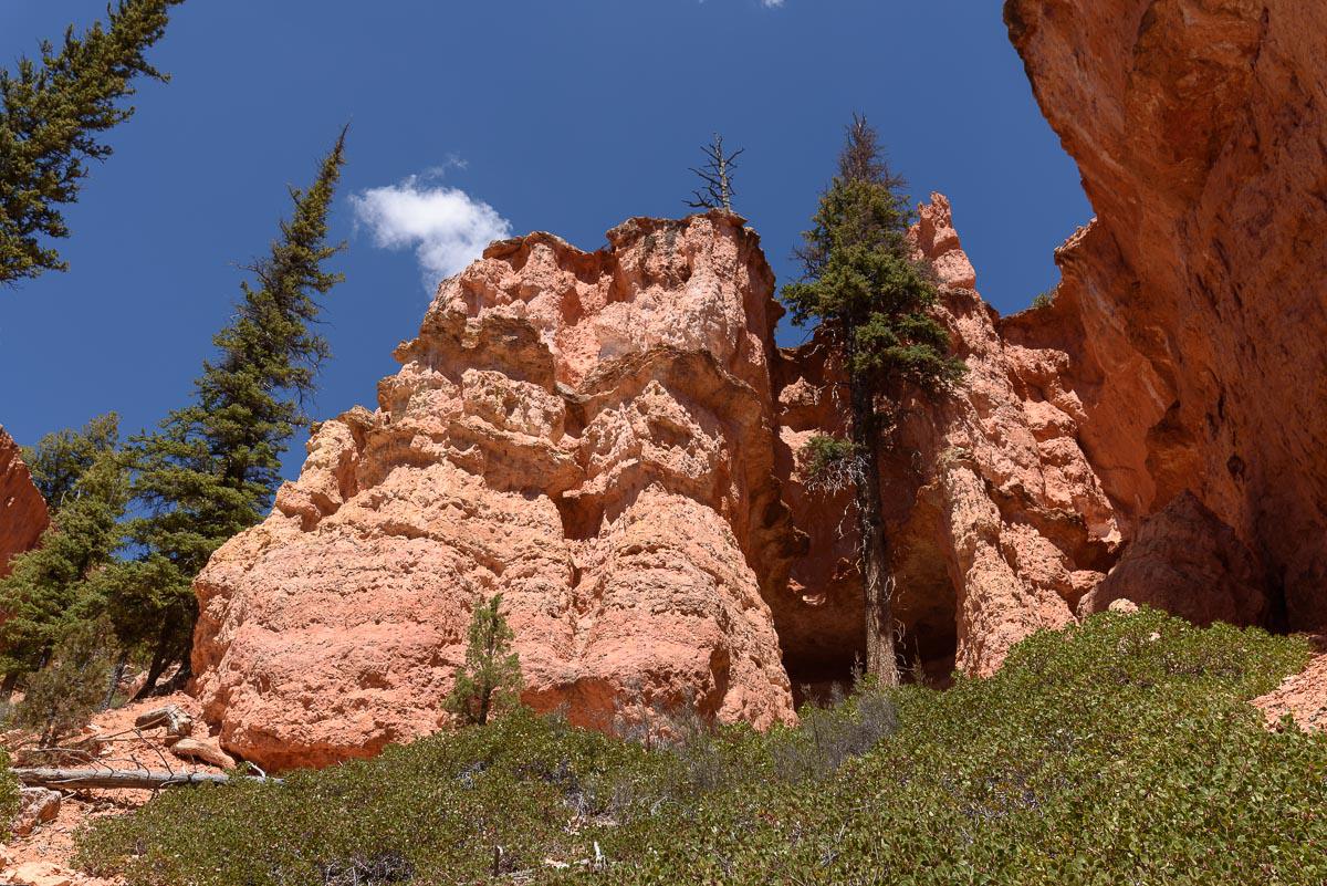
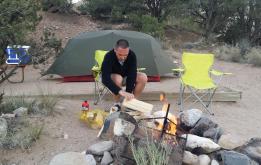
The East Fork Sevier River is a scenic track with very little traffic. It is parallel to Bryce Canyon. Many small tracks start from this main track. It offers rather lush landscapes with large meadows and a large lake : the Tropic Reservoir. Because of its proximity to Bryce, we can see some orange rocks in places such as the Chimney Rock Trail, a real small Bryce. Also note that there is a source of drinking water near the Tropic Reservoir, ideal for filling the buttles.
East Fork Sevier River Road
![]()
 No hike
![]() 2 to 3 hours
2 to 3 hours
![]()
Free

GPS tracks to download
The trail offers varied landscapes between lake, forests, orange rocks. It is possible to go to the "doors" of Bryce Canyon, provided you have a 4WD with a high clearance. At GPS point N37°35'34.3" W112° 15'12.0", there is a source of drinking water.
Access : from the junction of Highway 89 with Highway 12, proceed 10.7 miles East towards Bryce Canyon. Turn right onto the trail number 087. The track is covered with gravel, so it rolls pretty well.

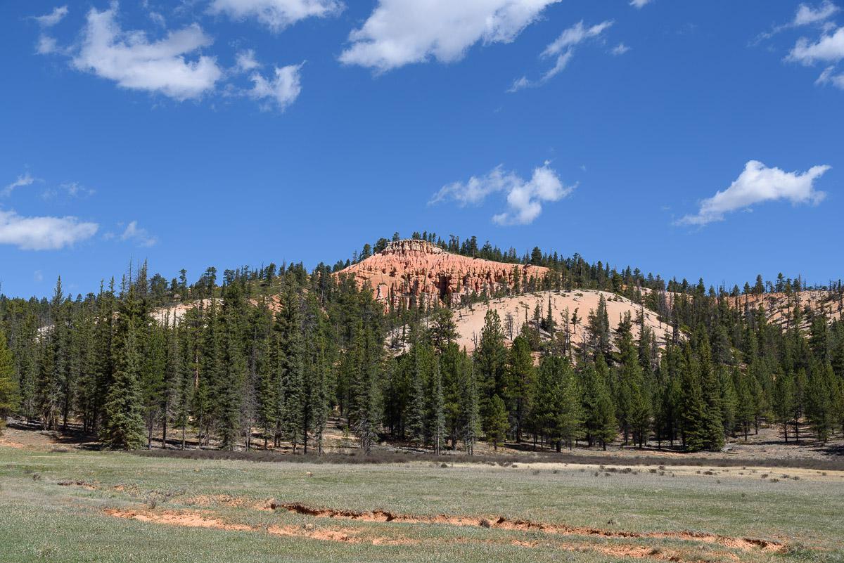
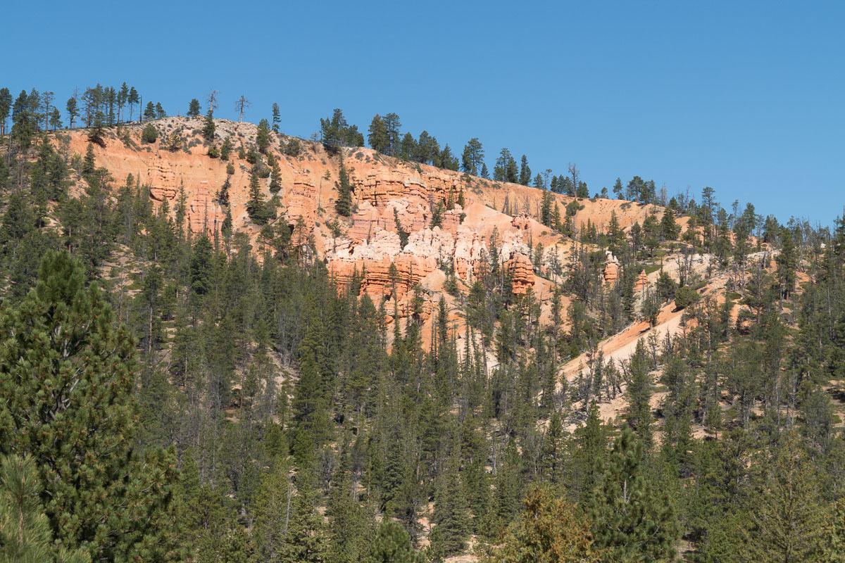


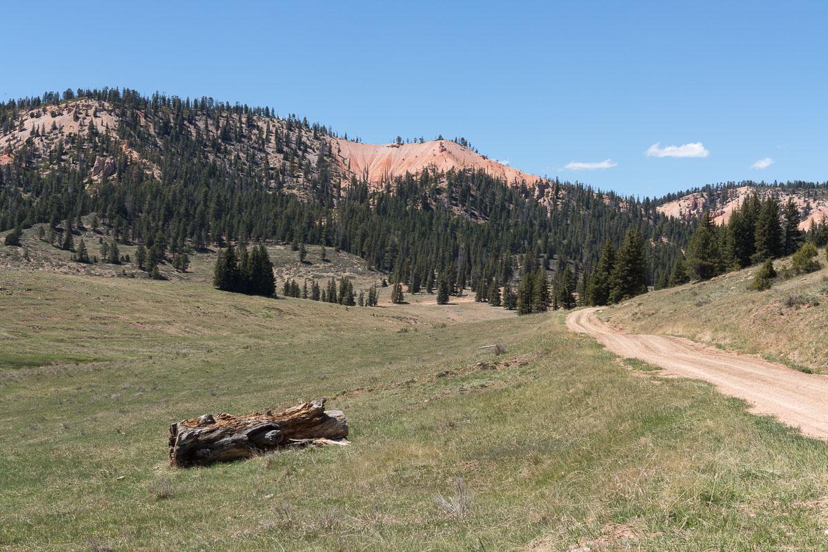

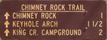
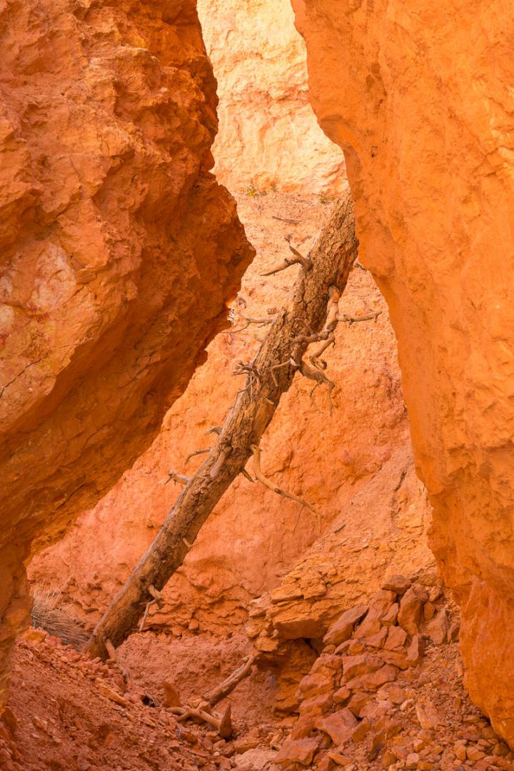
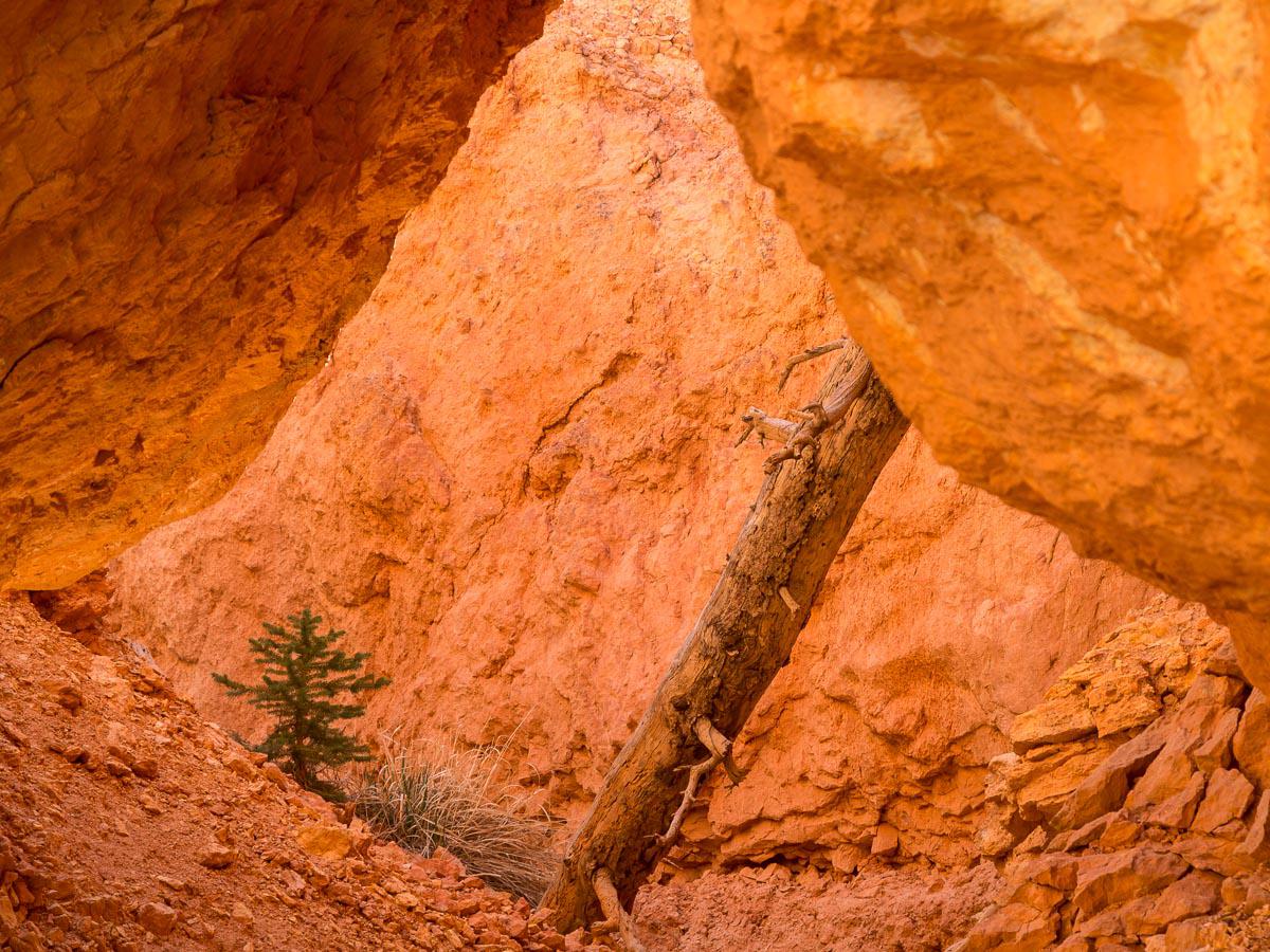
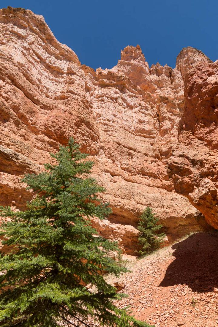
Chimney Rock Trail
![]()
1,2 mile one way - 55 min
![]() 2 hours
2 hours
![]()
Free
![]()
GPS trail to download
Short hike 2,4 miles round trip with 728 feet vertical drop in this mini-Bryce Canyon. Same shapes, same colors... the crowd less. We can see Keyhole Arch.
Access : from Highway 12, take East Fork Sevier River Road for 8.6 miles. Turn right on Trail 109 for about 0.86 mile to the sign :
 park and continue walking on the path.


To see around
Lodging
We have tested :
Copyright Magali and David BELLEC